Mt Sarrail Scramble on 14-Sep-2013
Earlier in the week, another coordinator and I discussed hiking Mt Sarrail together at the weekend, but decided to announce it as a Rambler trip, just in case someone might want to join us. I was a little apprehensive because the access route is the same as that to Aster Lake campground, currently described by K-Country as: “Mountaineer’s campground, access route unmaintained and very difficult.” Also the south side of the Upper Lake trail is listed as closed. But I need not have worried as none of this information was accurate. I have no idea how or why K-country come to this conclusion and will be asking them privately for an explanation. Meanwhile, our group, along with many other members of the public, ignored their website information and enjoyed a trouble-free trip. In the meantime my confidence in K-county’s trail information is negligible. Note that this is a personal opinion only and not endorsed in any way by RMRA.
To my amazement, the trip filled overnight, and I later rejected 2 very capable members on safety grounds for excess numbers. Sorry. We left the north car park (near Indefatigable) at 7.15am to arrive at the turnoff to Hidden Lake 1 ½ hours later. Closure tape for the rest of the south side of the Lake trail was lying in the bushes. Apparently there is one short challenging section on this south side. Then with the usual minor bushwhack to Hidden Lake, where we followed the shoreline and via a steep climb in the woods to the rough gravel trail on the side of Mt. Sarrail. This lead to the hardest part of the whole trip (apart from getting out of bed at 4.30am): a short 2 metre climb out of a gully near waterfalls to gain a pleasant meadow with good views back to Hidden and Kananaskis Lakes. Here we took our first major break, about 3 hours from the cars.
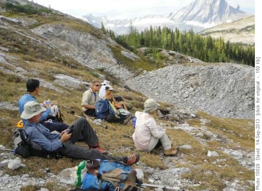
At base of Mt. Sarrail
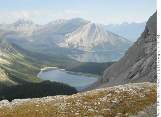
Hidden and Kananaskis Lakes from Aster Lake TrailWe had just passed others: one couple aiming for Mt.Sarrail and the rest for Aster Lake and maybe beyond. With the aid of a GPS loaded with the track from Bob Spirko’s excellent website, we soon found a cairn marking a very rough trail heading up Sarrail’s west ridge about 400 metres beyond the last waterfall. We headed up. The going was rough (OT5?) but barely a scramble.
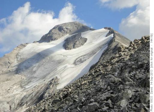
Mt. Sarrail via west ridge The views opened out and we were half way up before taking a major break to let one member catch up. This member had underestimated the length of the trip, which although he eventually completed, caused the trip to be about 20% longer than otherwise. In future, I will be screening more closely. We continued following the west ridge over rough slab and some mild scree to reach Mt. Sarrail’s summit around 12.45pm (5 ½ hours from the cars). Although hazy, the views were outstanding in the warm weather with little wind. We spent an hour there.
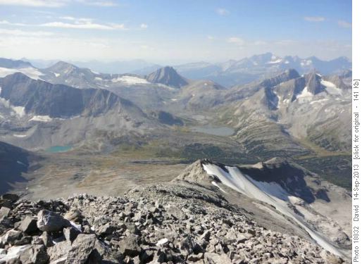
West from Mt. Sarrail summit
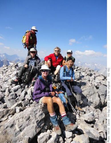
Mt. Sarrail summit back to front, L-R: Jeannette, Damian, Gary, Susan, David, ChauThe descent was mild scrambling with generally firm footing in perfect conditions.
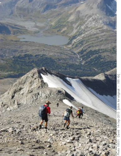
Descent of Mt. Sarrail west ridge, Aster Lake behind
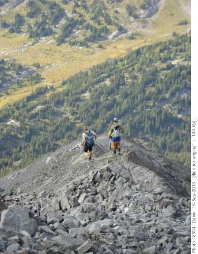
Descent of Mt. Sarrail west ridge No snow or ice encountered. It would be harder if wet, snowy or windy. We took several breaks, including one for water from the previously mentioned waterfall, arriving at the Hidden Lake trail junction about 6.30pm. When our slower member finally caught up, we confirmed with him that he was basically “okay” and knew the way before returning to the cars at our own pace(s). Most of us reached the cars by 7.15pm for a good 12 hour day. Here we spent some time talking to friends who had just completed the Northover Ridge circuit (~34km, 2000m) in a similar 12 hour day. The parking lot was still quite full. Our slower member showed up soon after 8.00pm. Unfortunately the drive home was marred by traffic congestion near Springbank , caused by an earlier accident, so we were not back at Shouldice until 10.15pm. But, overall a fantastic day for mid-September shared by: Damian, Jeannette, Chau, Gary, Susan, Sim and C&S David. Two GPS’s gave the elevation near 1750m and distance 24km.


