Mt Lady Macdonald Peak Scramble on 7-Jul-2013
At about 8.00pm the previous day, 06 July 2013, I looked at the trail conditions for Kananaskis. This is not something I always do especially when planning a scramble that does not involve a trail. Because of the recent extensive flooding, all I found was an undated map of K-Country indicating that most areas off the road were "closed". This included the area around the Wedge but not most areas north of highway 1. However there was also the comment: “Due to flooding in the region, many trails are saturated and covered with standing water and thick mud. Many roads, bridges and sections of trail have been washed away. All trails near water should be avoided due to unstable banks and bridges. If you choose to venture out, note that there will be numerous natural hazards encountered on trails including downed trees, sections of trail and bridges missing”. Was the Wedge accessible legally or not? At 8.00pm on a Saturday night there was no reply on the information line (310-0000, 403-678-0760). To save some possibly wasted drive time, at 7.30am on Sunday 07 July we picked another destination that we knew would go: Lady Macdonald.
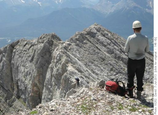
We parked on the Benchlands Trail road near devastated Cougar Creek and set off up the creek about 9.20am. We stopped for a break in the warm sun at the "tea house platform" before moving onto the summit ridge.

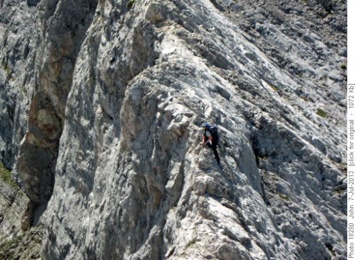
Greg on the crux Lady Macdonald

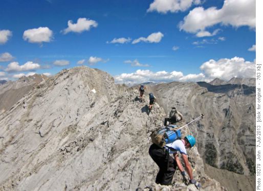
Summit ridge Lady Macdonald

Mt Lady Macdonald: Summit ridge + John
On 08 July 2013, I spoke with the rep at 310-0000 403-678-0760 and this is a summary :
1.Hiking/scrambling in the closed areas off highway 40 is prohibited with a maximum fine of $5,000. Essentially the road is open to access the day use picnic areas only. This is for the public’s safety. They are still evacuating stranded vehicles
2.The access to K-Country will be opening up very slowly. No time-frames are currently available so stay-tuned to their website.
3.K-country are dealing with many severely damaged roads and trails eg Ribbon Creek trail destroyed for first 4km.
4.Better hiking/scrambling options can be found north and west of Castle Junction or possibly south to Waterton and the Crowsnest Pass.
My summary (to paraphrase the mayor of High River): we are not dealing with your average flood, we are dealing with a disaster, be patient. David