Iceline Trail Trail Hike on 18-Aug-2012
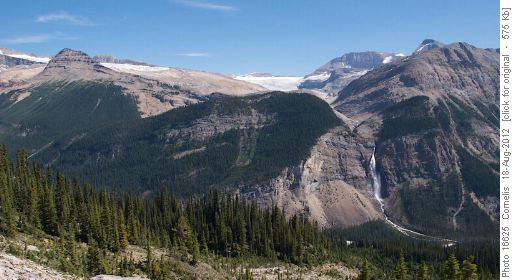
It was a glorious, cloudless day! A group of 5 Ramblers set out at 10:50AM from the Takakkaw Falls parking area. It was a steady climb up above the Whiskey Jack Hostel, mostly under the tall and shady Douglas Fir pines. As soon as we were above the tree-line magnificent views opened up. The air was crisp with little moisture. We admired the sweeping views. "Up top" on the glacial ledge it was a comfy 20'C, with an occasional cooling breeze. The views were so beautiful, we decided to return the same route we came up, rather than returning through the Valley. Therefore, after reaching the Iceline's summit, we climbed a conical moraine mound at NAD83 11U 532629 5706964 to 2,245m elevation for a breathtaking 360' view, where we lingered for considerable time. The pictures below tell the story.


Takakkaw Falls (380m drop) and Daly Glacier
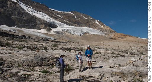


Sharon, Zora and Larry on the iceline Trail, with one of the Vice President's hanging glaciers in the background.
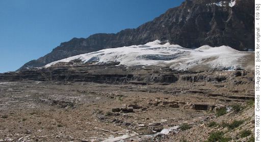


Hanging Glacier (~2500m elevation) along the Iceline Trail between Michael Peak and
Hanging Glacier (~2500m elevation) along the Iceline Trail between Michael Peak and "The Vice President"
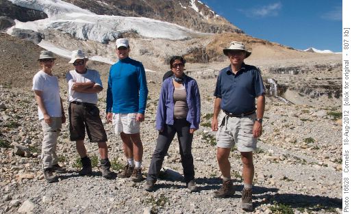


Zora, Hubert, Larry, Sharon and Cornelis enjoying the beautiful weather and breathtaking views.
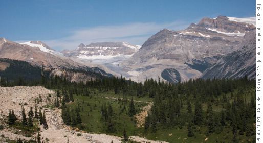


Yoho Glacier and Mt Gordon (3203m) looking North from the Iceline Trail.
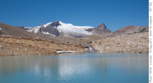


The tarn on the Iceline Trail where the trail down to Celeste Lake splits off. Glacier des Poilus mirrors in the water. Isolated Peak (2845m) at right.
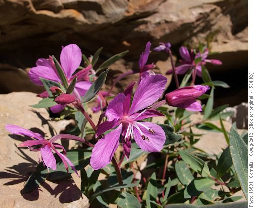


Mountain Fireweed
Mountain Fireweed


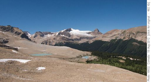
Looking North from the highest point in the Iceline 11U 532629 5706964 / 2245m elevation. Little Yoho Valley, Glacier des Poilus, Isolated Peak and
Looking North from the highest point in the Iceline 11U 532629 5706964 / 2245m elevation. Little Yoho Valley, Glacier des Poilus, Isolated Peak and "The Whaleback".


The Sweeping View from the Iceline!

Again, we savoured the views on the way back. In Field we stopped for a relaxed dinner with ice-cold beer at the Truffle Pig.

Participants: Larry, Zorica, Hubert, Sharon, Cornelis coordinator, photos, scribe & GPS.

Trip Statistics: Start 10:50AM, end 4:45PM. Distance: 14.2km. trailhead at 1510m elevation, highest point at 2245m elevation, where we turned back; Effective elevation gain 735m. Total Climb 850m.

Edit report | Back to List