Wind Ridge 199533 Off-Trail Hike on 23-Oct-2011
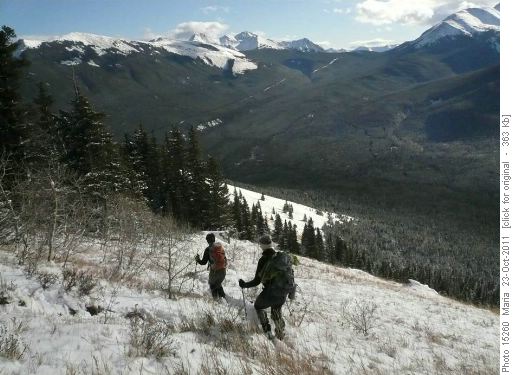
The closer we got to the mountains, the lower the snowline, and the Pigeon parking lot trailhead was covered in a thin carpet. Oh well, it looked like wet boots by the end of the day. But the skies were clearing and the views were terrific, so our merry crew set off through the forest. Once out of the trees the sun felt quite warm, however a chill breeze blowing down from West Wind Pass made for a fine balancing act in one's clothing layers. Where the trail steepened the footing became somewhat uncertain,so some chose to retreat and tried zigzagging off-trail to avoid the slippery mud underneath:

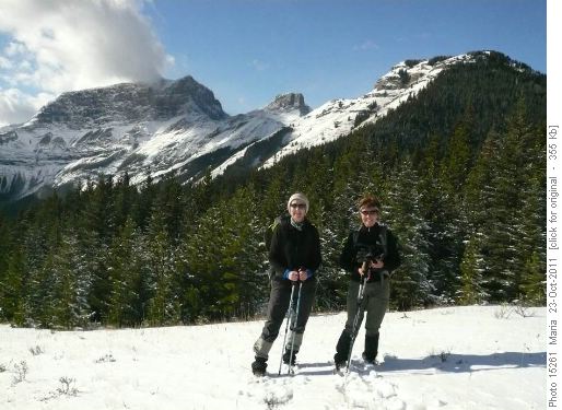
Descending a snowy Wind Ridge trail They compensated with a side trip up the northeast outlier of the ridge:

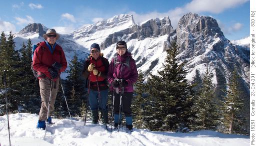
Denise & Jennifer. Rimwall and Wind Ridge in background.The remaining keeners continued up, negotiating the rock band with little problem and found a wind-sheltered and sunny lunch spot among the trees on the summit ridge where a very pleasant lunch was enjoyed. The wind died down and views of the Three Sisters were dramatic:

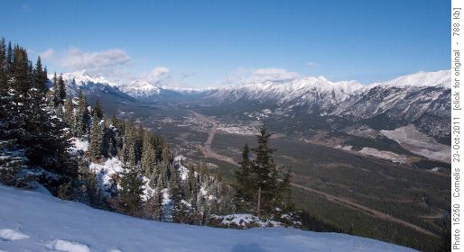
Canmore in the Bow Valley seen from Wind Ridge

Ron, Laszlo and Sonja on Wind Ridge with the 3 sisters as back-drop The descent was challenging in spots as the snow was getting wet and slippery, resulting in a few slides on the snow that did not involve one's feet. Lower down on the old road it was warm through the trees:

melting snow on Wind Ridge trail The participants Laszlo, Denise, Maria (photos), Ron (scribe), Cornelis (photos) and Jennifer (coordinator) welcomed new member Sonja who had an interesting inaugural hike. Stats courtesy of Cornelis: Distance 13.2km. Trailhead 1,434m; ascent to ridge-top 2,193m = 759m. Total Ascent 869m. The "Step" of 3 metres up the rock-band at 6.1km from the Trailhead at 2,063m elevation.


