Mount Bishop Scramble on 14-Aug-2011
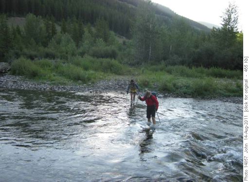
Following guidance from Andrew Nugara's guide book we kept the footwear on for the four crossings of Loomis creek that followed before putting our boots on. We were a bit surprised when after another 200-300 metres we came to another creek crossing. We had stepped across a small stream a few metres back I thought was too small to be Bishop creek ... but we decided that must be Bishop creek as we had crossed Loomis creek 4 times as described in the book. On reflection we should have checked the map and one of the two GPS units we had in the group right then ... creeks and the trails crossing them change .... valleys and grid references don't! The game trail we ended up following was along an unnamed drainage, clearly marked on the map, but it was not the well marked trail along side Bishop creek we should have been on. By the time we did check the GPS and map we decided to bushwhack back to the correct valley and steeply up the other side to regain the correct trail. That too might have been a mistake as the bush was fairly thick and we had to cross the real Bishop creek in thick alder with one of the group inspecting Bishop creek closely!
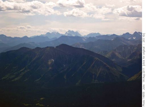
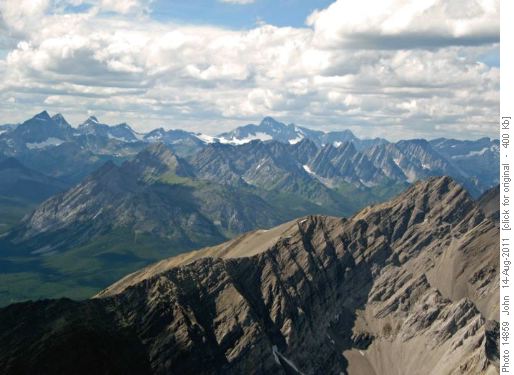
After getting back on the correct trail around noon we did discuss changing to the shorter objective of Bishop ridge as we figured we would probably be out an hour or two later than the advertised trip return time. Not surprisingly with the beautiful sunny day and peakbaggers:Gary,Susan, Sim, Jeannine and Jeannette in the group we decided to head for the summit. At a nice creek stop from snow melt below the east face we stopped for lunch. Most of the group got to the summit just before 3:00 pm where it was windy but with nice views.
We were surprised at the few entries in the register placed in 1998 by Rick. I think only three or four ascents recorded after Andrew Nugara's entry. Surprising too gven that there is a pretty good trail(if you go the right way!) for much of the approach.
We followed the correct trail back and things matched up much better to the guide book description than our morning route - apart from the number of creek crossings.Got back to the cars by a quiet Highway 40 around 8:00 pm. Sim recorded around 24 Km and 1400m+ of elevation I think. A beautiful day in the area described eloquently by R.M. Patterson in the book "The Buffalo Head". As Gary noted we were close by the "Hill of the Flowers" Patterson described. Thanks everyone for perseverance and overcoming the route finding error - a nice, understanding group to get lost in the woods with! - c,s,p John.


