Cirque Peak Circuit Off-Trail Skiing on 1-Apr-2011
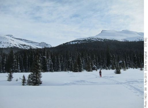
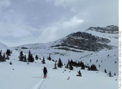
We left a car at Helen Creek and started skiing from the highway about a kilometer beyond the Num-Ti-Ja turn-off. The route follows up the drainage leading to a col on the long ridge from Cirque Peak to Observation Peak.
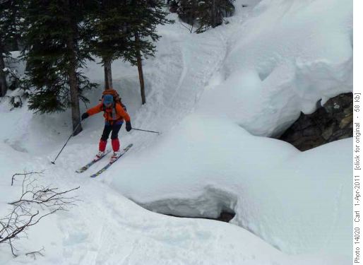
The object is to ski over the low ridge in front of the obvious drainage into the flatter part of the creek - the lower creek is a bit of a canyon. We ended up somewhat above the flat part of the creek, but only had to lose about 45 m. of elevation.
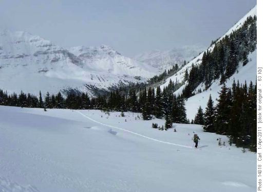
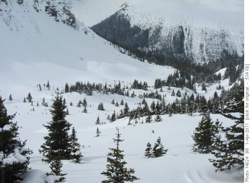
The upper creek is quite pretty and would likely make a great day hike in the summer.
Here is a photo back to the entry showing the need to come over the ridge, and the narrowing of the lower creek.
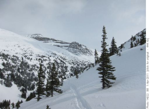
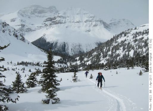
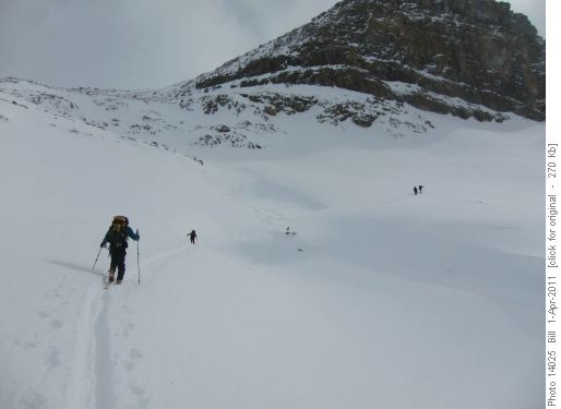
Above treeline, a traverse into the center of the valley leads to an obvious climb to a shelf that ascends left in the upper valley into less steep terrain.
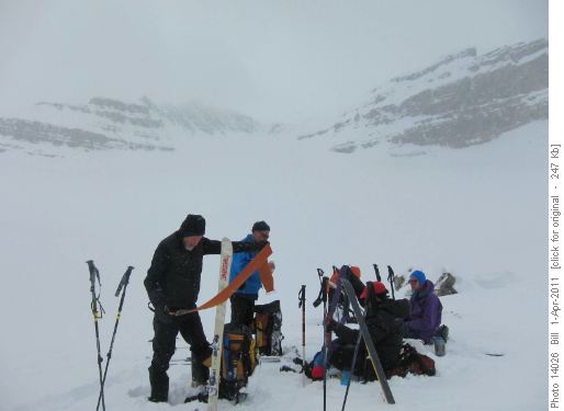
At the pass we skied over the ridge from the south into a protected bowl that afforded us a warm lunch spot. We could just see Cirque Peak in the background above the northern glacier.
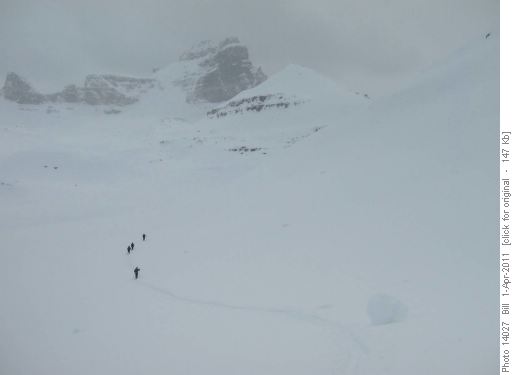
After lunch, we traversed around the northern cirque in largely white-out conditions, eventually reaching the shelf that leads around the east end of Cirque Peak. Dolomite Peak and our exit to Katherine shoulder became visible.
Although the low cloud gave us white-out while we were above treeline, the solar radiation made for very comfortable travel. The snow turned somewhat wet and sticky, but not enough so to become dangerous on steeper slopes.
We then traversed to a point above Katherine Lake for a second lunch stop, before heading across to Katherine ridge.
The ski out was very pleasant with the recent snow, and we were back down to the highway with a trip time of 7.5 hours.
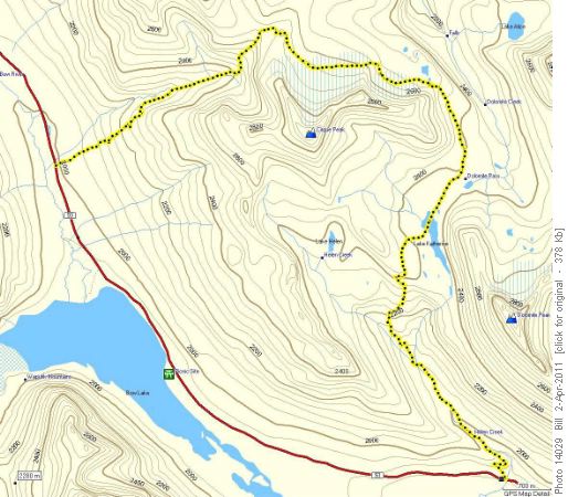
Here is a map of the route. Distance was 15.7 km and total elevation gain was 860 m.
Thanks to Carl and Stuart for all the trail-breaking. Both times I've done this route, the snow north and east of Cirque Peak has been quite deep.
Participants were Arnold, Sim, David, Stuart, and Carl - thanks for joining me on this expedition - Bill (C/S).
