Yoho Pass (and lake) - Burgess Pass loop Trail Hike on 17-Oct-2010
A cool, brilliant day greeted us when we started from the Trailhead at Emerald Lake 10:30 in the morning. We were only a small group: Kim, our guest Dave and coordinator Cornelis. We headed along the lake’s Western shoreline at a brisk pace. The trail was dry and in excellent condition and the sky was deep blemish-less-blue. The brilliant sun would be with us for the whole day. Emerald Lake’s basin had already warmed up nicely. It became gradually cooler as we hiked up towards Yoho Lake, where we enjoyed a short break & snack in the sun. From Yoho Lake we returned to the Wapta Highline, soon to be treated on magnificent, sweeping views. We passed under Wapta Mountain’s jagged ridge and had a lunch in the sun under the Burgess Shale formation. We needn’t worry about wind.
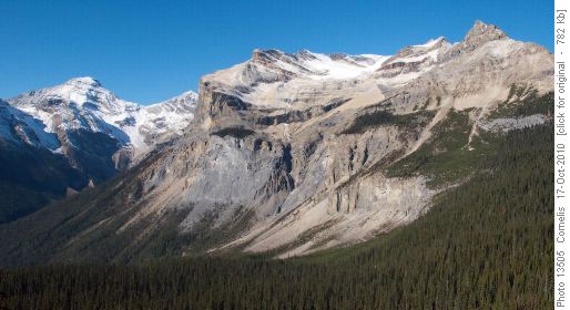
Michael Peak (2,696m) and Emerald Glacier looking NW from the Wapta High-Line
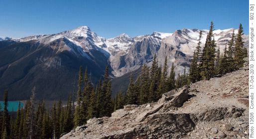
Emerald Lake (1,300m) and The President Range (3,100m) seen from the Wapta High-Line
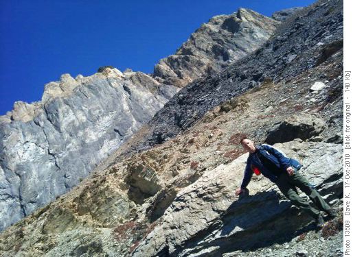
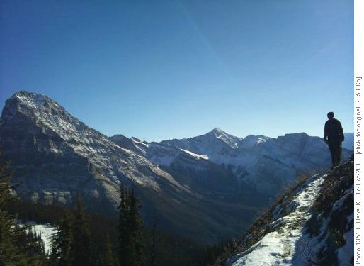
Dave saw Wapta Mountain from an unusual angle.........
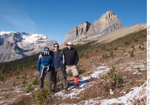
Kim, Dave and Cornelis at the southern end of the Wapta High -Line. Wapta Mountain (2,778m) in the background.
After our lunch-break, we made our way towards the ridge that took us down to Emerald Lake, crossing over the hike’s highest point (2,200m) and Burgess Pass (2,175m). After a toe-jarring 900m descent through the Douglas Fir and Cedar forest, we arrived back at Emerald Lake and the car at 5PM.
Dave traverses the little knoll (hike high point at 2,200m) some 160m East of Burgess Pass (2,175m). Mt Stephen (3,199m) is to the SE (left).
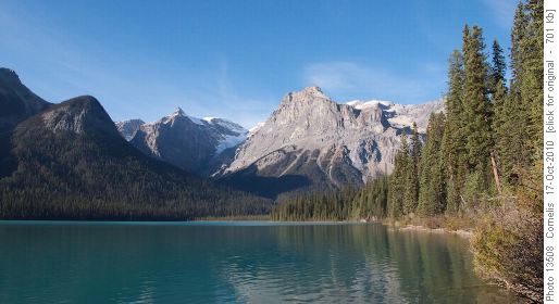
View from Emerald Lake's (1,300m) SE shore, after the descent from Burgess Pass. Michael Peak (2,696m) right of centre.
On the way back to Calgary, we had a nice dinner at the Iron Goat in Canmore, where Eveline joined us, enjoying a magnificent sunset over the mountain ridges. Thanks Kim and Dave for joining me on one of my favourite hikes on this magnificent day!!
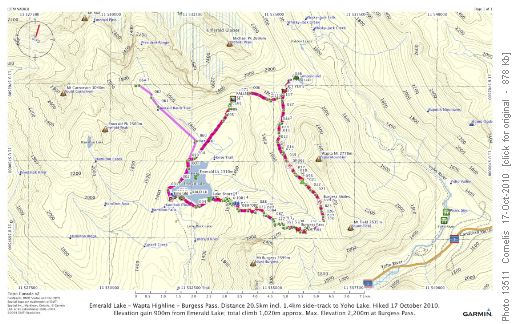
Trip Details: Please refer to the map and profile below (click on the images for details).
The Emerald Lake - Wapta Highline loop, + Yoho Lake.
Distance 20.5km. Elevations: Emerald Lake 1,300m Yoho Lake 1,815m, highest point 2,200m, 160m before Burgess Pass at 2,175m elevation. Elevation Gain 900m / Total climb 1,020m.
Vertical Profile: Emerald L. - Yoho L. - Burgess Pass
Vertical Profile: Emerald Lake 1,300m; Yoho Lake basin 1,815m between 6.3 and 7.7km points, highest point 2,200m at 13.8km; Burgess Pass at the 14km point, elevation 2,175m. Elevation Gain 900m / Total climb 1,020m.
