Highwood Peak Scramble on 17-Oct-2010
The peak at 11U 657178 5601212 (NAD 83) is the only one in the Highwood Range with a 9400 ft contour. It is about 2.5 km north of the first Picklejar lake. (The Highwood Range runs from Junction and Pyriform in the north to Head and Holy Cross in the south.) I believed that we could get to the peak by going up the Picklejar Creek trail a ways, then following the NE fork of the creek, climbing to the col to the west of the target, and follow it's ridge up. Our trip proved that this is in fact possible and likely the best way to get to the peak.
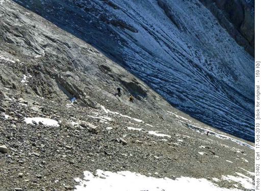
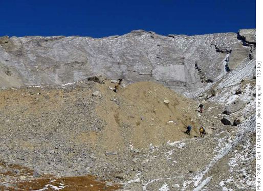
We set out up the Picklejar Creek (not Lake) trail and shortly after the junction with the Picklejar Connector trail headed off to the right to the large cirque under the destination. From there we took a variety of routes on scree or slab to get to the ridge west of the peak.
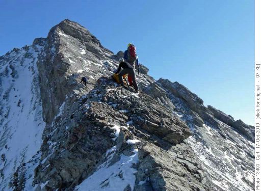
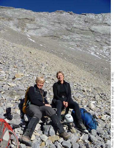
Five of us regrouped on the ridge where the next photo is taken.
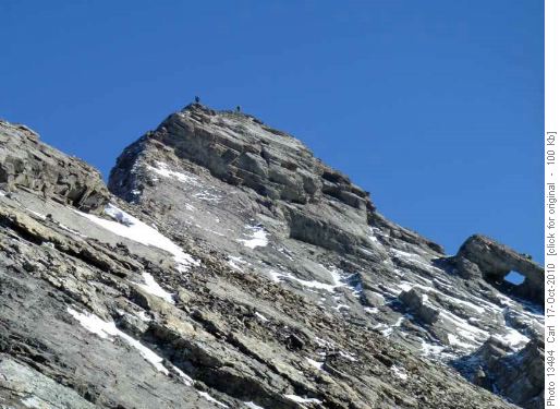
The rest of the ridge was looking pretty challenging and we had not been in contact with two of the group for over 40 minutes. So three decided to use concern for the two at the back as an excuse to abandon their summit bid, and returned down the ridge. Once we got back to near where we had topped out, we saw the others safe and sound but making their way up a challenging non-optimal route. We regrouped near the ridge, had a lunch and were very pleased to watch Alda and Jeannine summit.
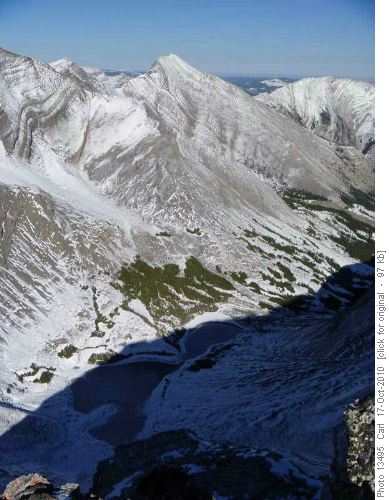
Once they started back down from the summit we looked around a bit and started down.
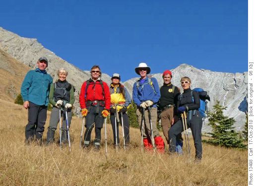
There is a ton of loose rock all over the gullies and slabs and we didn't want to be seven all together. We then waited in very pleasant weather and surroundings at the bottom of the cirque for the summit team to catch up to us.
Once they had had a short break (and chocolate) we all headed down together.
We were back at the cars after about seven hours.
Thanks especially to Alda and Jeannine for getting the summit, and also to Susan, Gary, Gerald, and Norman for joining me, Carl (C/S).
