Mt Willingdon 518340 Scramble on 23-Aug-2010
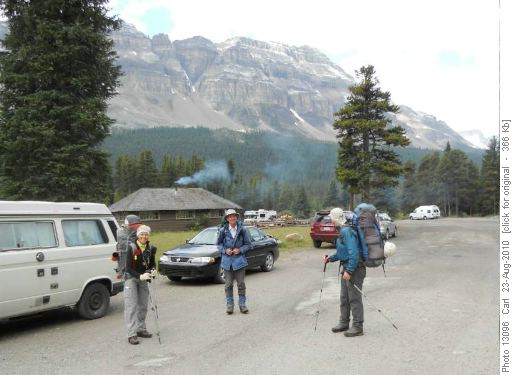
Leaving Mosquito creek trailhead
After branching off the Mosquito creek trail and mild bush bashing finding Quartzite col went fairly smoothly. The coordinator was a bit confused as "Mosquito creeks north fork" as described in Bill Corbett's book split into 2(?) north forks .... maybe one is dry most of the time .... Bill Corbett's grid references worked very well. From Quartzite col we got a view of Willingdon with a dusting of snow.
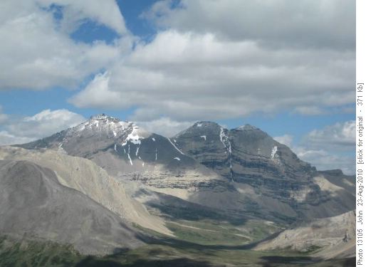
Mount Willingdon from Quartzite col.
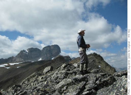
Arnold looking at mountains ..... from Quartzite col.
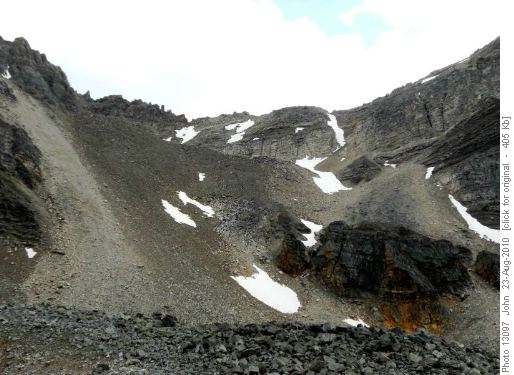
East side of Quartzite col
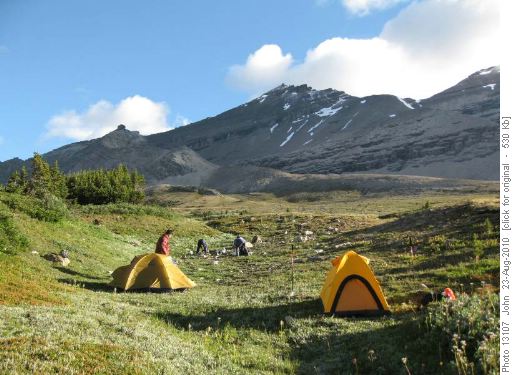
Camp below Willingdon
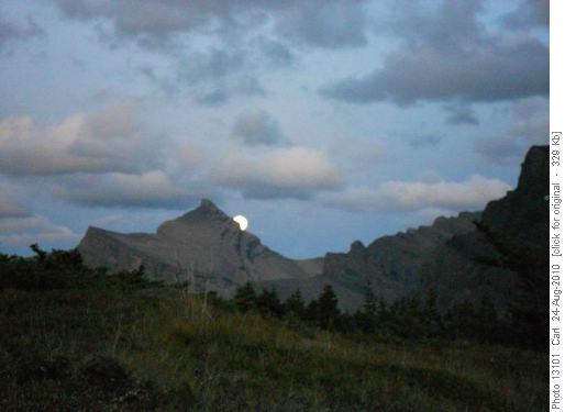
Moonrise over Dipslope mountain
We left camp, I think, around 9:00 am with the very summit of Willingdon occasionally catching some cloud. Easy hiking and scrambling up along the old moraine past a quartzite sand beach got us to the scree west ridge.
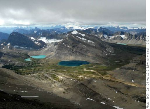
Devon lakes, Devon mountain with Hector in the back.
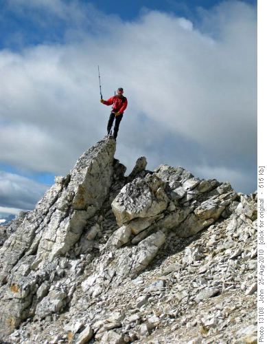
Carl on the quartzite scrambly bit on Willingdon

The wrong way!
The plan was to traverse east along the ridge to the other Willingdon summmits so we set off down a very ugly gully with ice on one side and very loose rock on the other.
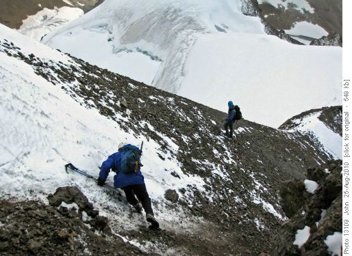
Ugly gully below summit of Willingdon.
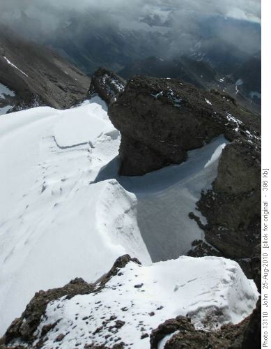
Icy arete on east ridge of Willingdon that stopped us.
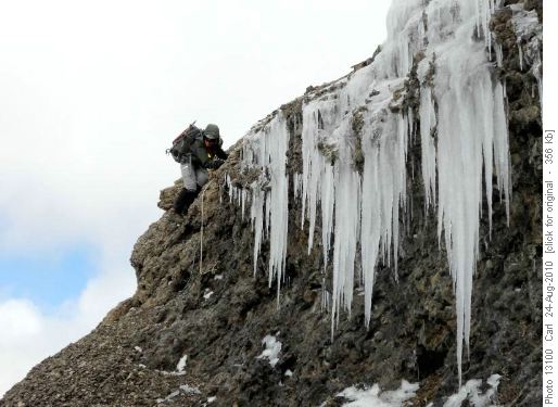
Alda descending crux cliff band on Mount Willingdon.
We had lots of time to get back to camp so dawdled on the west ridge and enjoyed improving weather and views. In fact the worse weather all trip was probably while we were on the summit of Willingdon. After an early supper we wandered across the meadows to look at the other Devon lakes - a beautiful area.
Carl, Alda and David, disappointed, no doubt, by missing the other peaks of Willingdon wanted to bag Devon mountain on the way out. Arnold and I were nursing some foot injuries - though not preventing us from hiking out we wanted to preserve (well I did) our fragile bodies for future trips so we backed off the Devon mountain trip. So on the hike out we split up. We met up again in the meadows on the west side of Quartzite col with the Devon group reporting an SC6 ascent for the final slab section to the summit.
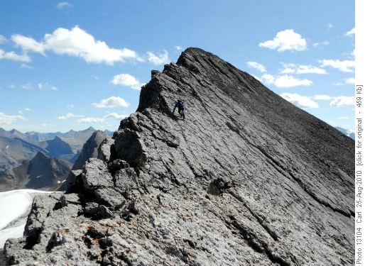
David descending Devon Mountain.

Carl, Alda and David on summit Devon mountain
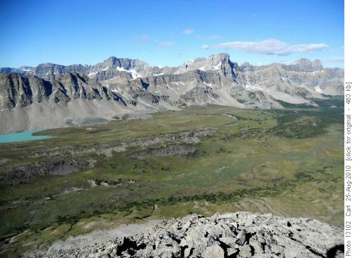
Upper Siffleur valley (Watermelon peak right of centre).
After returning to the trailhead around 7:00 pm we decided to head for refreshments at Lake Louise.After safely navigating some wilderness terrain over the 3 days a bit ironic we found that the reconstruction of the interchange of the #1 and the Icefield Parkway was very confusing. One driver ended up heading towards Golden! We ended up at the Outpost Pub (lineup at Bill Peyto's). I broke the mould having a salad while the others all had the goulash.
It was great for me to spend three days in the mountains with four people I have shared a few good trips with: Carl, Alda, David and Arnold and I hope to do again. The final details on this trip were put together by e-mail and phone calls the day before departure - thanks all for being flexible - good people, good times - C/S/P John with additional pictures from Carl.
Carl has posted a bunch of pictures here: Willingdon trip (thanks Carl).