Berg Lake backpack Off-Trail Hike on 3-Aug-2010
Tuesday - Calgary to Mt Robson Provincial Park and backpack in to Whitehorn campground (11 km, 250 m climb)
We set out from Calgary a little after 7, met at Lake Louise for coffee and Jasper for lunch and were finally ready to hike a little after 3. We regrouped at the Kinney lake campground and continued on to arrive at Whitehorn a little after 6.
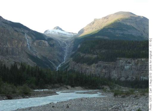
Evening view of Whitehorn Mtn from Whitehorn campground
The walk up the Valley of a Thousand Falls was beautiful.
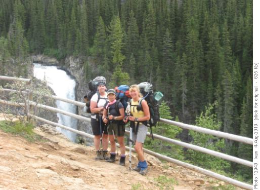
Alicja, Yoko and Susan at Falls of the Pool
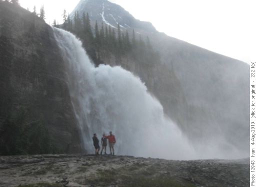
Alicja, Yoko and Carl at Emperor Falls
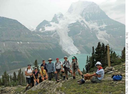
On Mumm Basin trail (Berg Lake, Berg Glacier and Mt Robson in background)
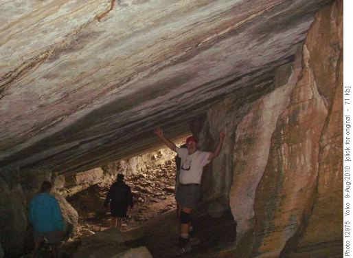
Berg Lake cave
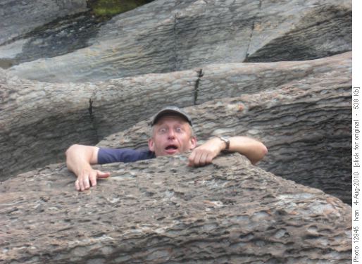
Carl in Toboggan Creek pothole
This is a very interesting hike as the first two hours are through glacial rubble with nary a plant to be seen, the next part is through a lovely alpine meadow, and finally there is a climb on a trail through rubble to the pass with spectacular views of the massive Reef Icefield.
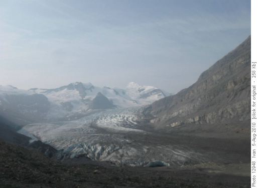
Robson Glacier and Mt Resplendant
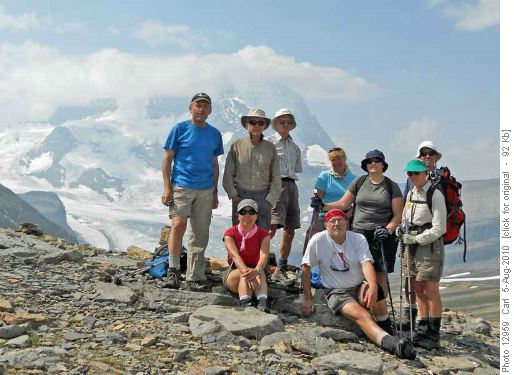
Carl, Damian, John, Susan, Alicja, Christine, David, Yoko and Ivan at Snowbird Pass (Mt Robson in background)
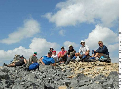
On the summit of Titkana Peak
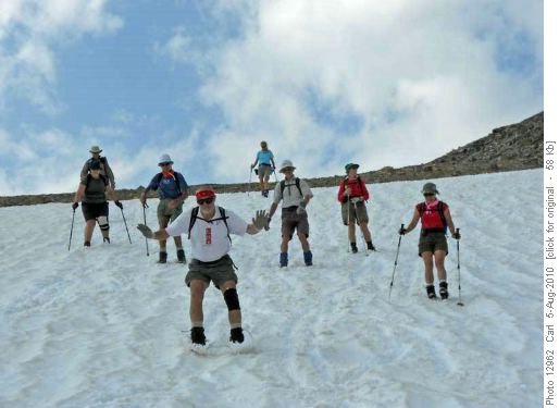
Glissading off Titkana Peak
Three cut off the Hargeaves trail at it's high point and found a good OT5 route up to the named point on Mt Anne-Alice.
Alicja, John and Carl climbing Mt Anne-Alice
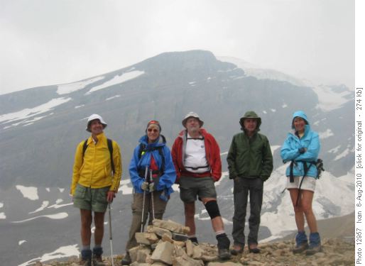
David, Christine, Ivan, Damian and Susan in Toboggan Creek drainage (Mt Anne-Alice in background)
Saturday - A long walk out in mist and drizzle (21 km, about 100 m climb) and a long drive home.
It was interesting to see what the area can be like, when it is not so pleasant. But it was a pity for all the people that we met hiking up the trail.
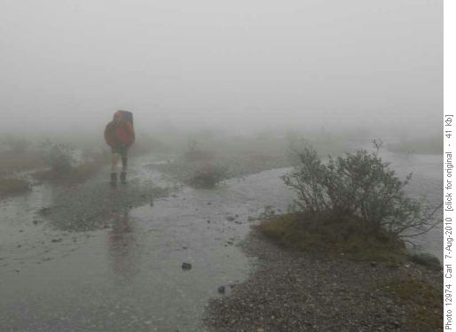
Ivan hikin' in the rain (and mist)
A million thanks to Ivan for coordinating the trip from participants Alicja, Christine, Susan, Yoko, Damian, David, John, and Carl (scribe).
PS Many more photos at: Carl's MobileMe Album CVM