Mt Burgess - north & south peaks Scramble on 31-Jul-2010
Batting mosquitoes, we walked up the steep, good Burgess trail from near Field by 8.30am initially in only +6c temperatures. Soon warmed up, we found the faint cairned side trail heading up an avalanche slope towards Burgess north without difficulty. This led up through a narrowing gully with abundant rubble to emerge near Mt Burgess north soon after 12 noon.
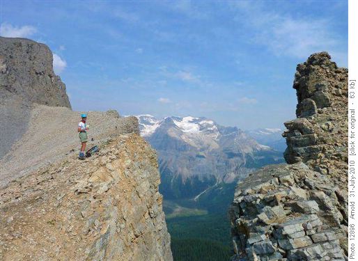
David on ridge to Mt Burgess north peak
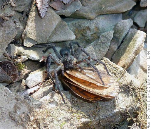
Spider conquers moth
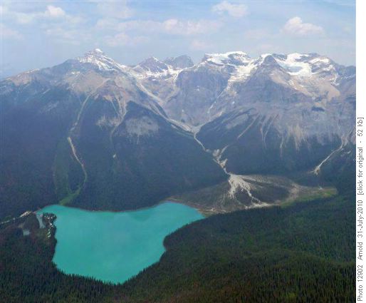
Emerald Lake and the Wapta from Burgess mountain
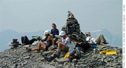
Mt Burgess north peak - lunch
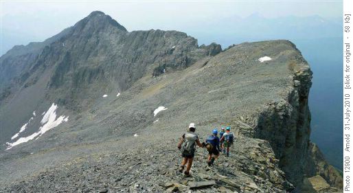
Descent from Mt Burgess north towards Mt Burgess south
Arnold had done this peak many years ago and after much discussion, we decided on his vaguely remembered route which followed an angled grey broken band from the basin to near the south summit. Not pretty, but it worked and did not contradict Kane’s vague description over some ugly terrain. We flagged the route for our return when we removed the flagging. Thanks to the safe cautious movement of all, we emerged onto the south summit by 3.00pm and took a long 45 minute break.
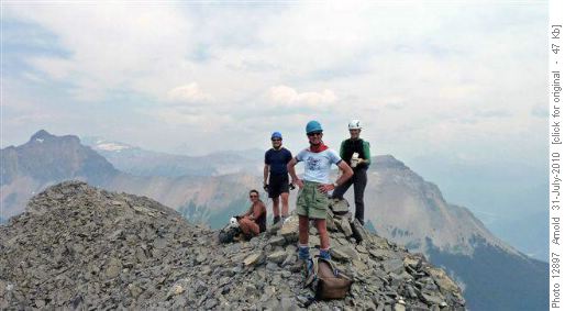
Mt Burgess South Summit
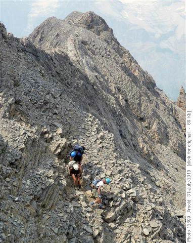
Descent from Mt Burgess South
Thanks again to the whole group, we moved down together slowly but steadily through the loose rocky gully to emerge unscathed on the Park trail by 6.30pm. We arrived at the cars about 7.30pm and with a break to fill up at the busy PetroCan in Lake Louise, I was home about 10.30pm. A good long day with a great group of Arnold, Zorica, Jeannine, Gary and Susan. The views were great, but pity about the smoke. I won’t be repeating this one. The mosquitoes are out. C&s David.