Cat Creek loop (Ridge 660878, Junction Hill traver Off-Trail Hike on
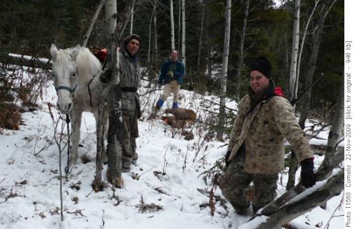
We started at 9:40AM from Cat Creek Recreation Area. We had a wonderful day, although initially overcast and a wisp of show twirling from the clouds, the sky opened up a bit during the afternoon, illuminating the snowy front ranges. There was some snow in the Cat Creek Drainage and at the ridge-top, but otherwise good hiking. We saw hunters with their kill (elk) above Cat Creek Falls, and plenty of tracks from Elk, Bear and Wolf. While we were having lunch just past Noon, we heard a tremendous roar and close to sub-sonic sound coming from the Front Ranges, 12km to the West; this must have been a very large rock-slide somewhere amongst the peaks! From Cat Creek Hill’s summit we descended to the pass between Cat Ck Hills Ridge and Junction Hill, keeping South of the pass to avoid steep rocks and talus. From there, we ascended a lower ridge in the valley (looking like a knoll from the pass), which we followed down to the Valley Ridge trail (an old logging road). This way we avoided almost all of the old logging road, although the route requires an easy bushwhack, until you walk along the stony Creek. We were back at the shuttle car we had left at Highwood Compound at 4:15PM. Whike driving to the trailhead and home, we saw Moose, Big-horn Sheep and Elk. Thanks Karen and Rita for coming on the trip!
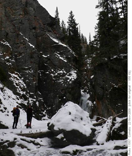
Karen and Rita ejoying the icy Cat Creek Falls
Hunters and horse dragging their Elk kill to the road
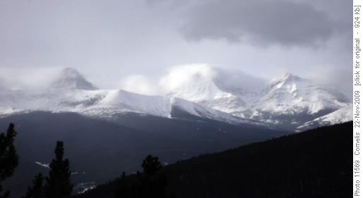
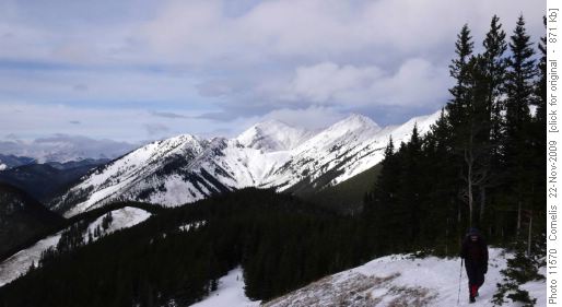
Snow-Manes blow off Stromy peaks: Mt Strachan (2,650m), Mt Muir (2,743m), Mt McPhail (2,865m)
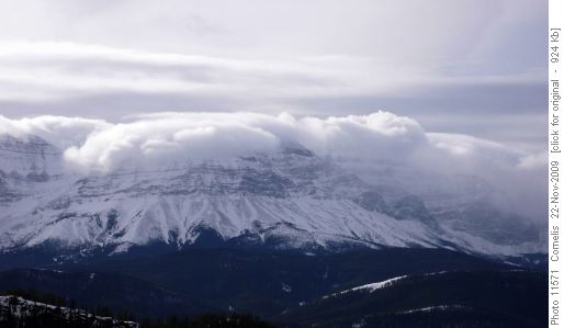
Stormy Front Ranges West of Cat Ck Hills. Mt McLaren (2,743m).
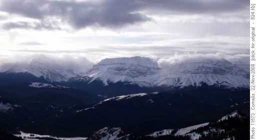
The clouds lifted, revealing the Front Ranges. Mt Armstrong at centre (2,804m)
Climbing towards Cat Creek Hills Summit, Mt Head (2,782m) in the background.
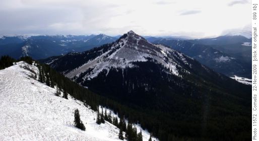
Junction Hill (2,233m) seen from Cat Creek Hills summit, the lower Sothern Cat Ck Ridge in the foreground.
Participants: Karen, Rita, Cornelis (Coordinator, Photographer & Scribe).
Trip Statistics: Distance: 13.9km. Effective ascent 640m from the trailhead at 1,572m elevation. Cat Creek Summit at 2,211m, after which we descended to 1,880m East of Junction Hill climbed, then up a knoll in the valley at 1,935m, before making the final descent along a lower grassy ridge to the shuttle car at Highwood Compound, 80m below Cat Creek trailhead. Total climb 820m (all ups combined).

