Glacier & Mt Revelstoke National Parks Trail Hike on 17-Jul-2009
Twelve Ramblers set out early on Friday morning to spend as many as six days in Glacier and Mt Revelstoke National Parks. We got to the Illicillewaet campground just in time to get the last four campsites. This was very fortunate as five of the eight major hikes that we were to do start right from the campground. Two "hangers on" joined us at the campsite on Friday evening.
Friday afternoon: Perley Rock
Ten set out on Friday afternoon to hike the Perley Rock trail. The trail is listed as 900 m of climb, but most people seem to continue past the end of the maintained trail and go to the top of the rock. And that is what we did.
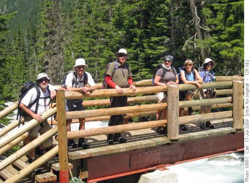
Ivan, John, Bob, Alicja Jeannine, Janet at the Meeting of the Waters bridge (Asulkan Brook meets Illicillewaet river)
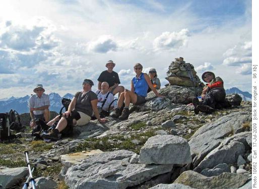
John, Alicja, Ivan, Carl, Jeannine, Sim and Bob on Perley Rock
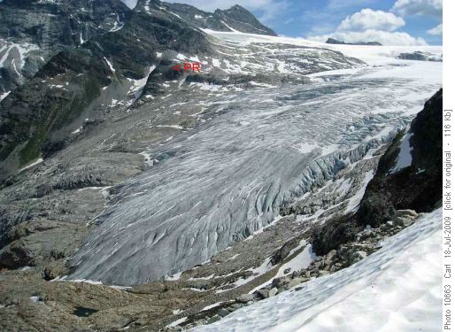
Perley Rock and the Illicillewaet (Great Glacier) from Glacier Crest
Ten set out for Glacier Crest while four climbed Avalanche Peak (a non-Rambler trip).
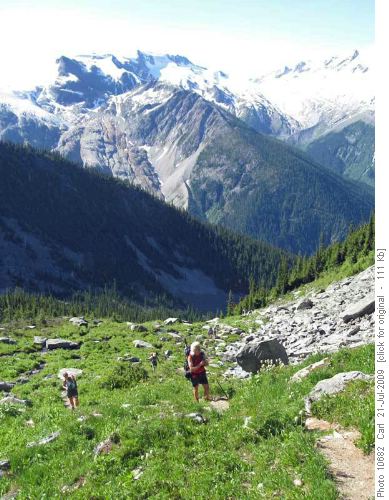
Glacier Crest (center background) from Avalanche Crest
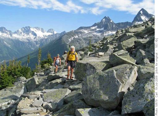
Sheila and Frith approaching the summit of Glacier Crest
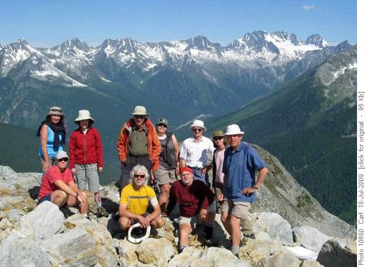
Janice, Sheila, Janet, Bob, Frith, Alicja, Ivan, John, Cordula and Carl on Glacier Crest (Hermit Range in background)
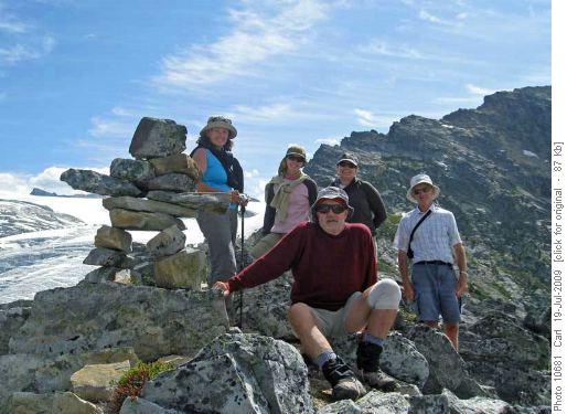
Our Inukshuk on Glacier Crest (Illicillewaet in background)
Five had not had enough yet and so they turned left at a junction and headed up the Asulkan Valley to Asulkan Hut.
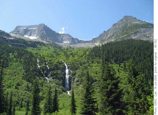
Waterfall off The Rampart into Asulkan Valley (Mt Abbott at right)
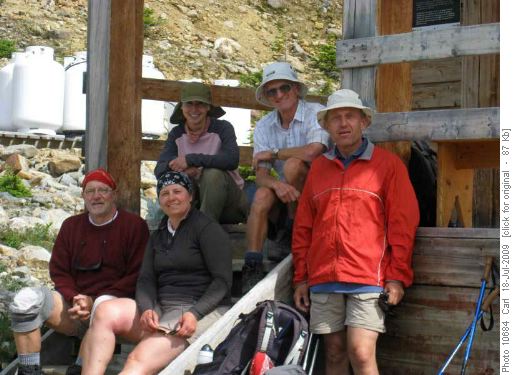
Ivan, Alicja, Cordula, John and Carl at Asulkan Hut
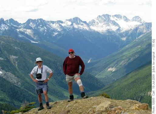
John and Ivan near Asulkan Hut (Asulkan Valley and Hermit Range in background)
On Sunday, nine set out a little earlier to go to Abbott Ridge (five followed a little later). Once again the views and weather were unbelievable.
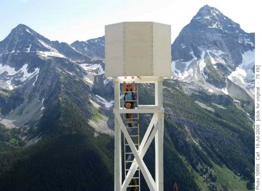
Jeannine climbing to weather station on Abbott Ridge (Eagle Peak at left, Mt Sir Donald at right)
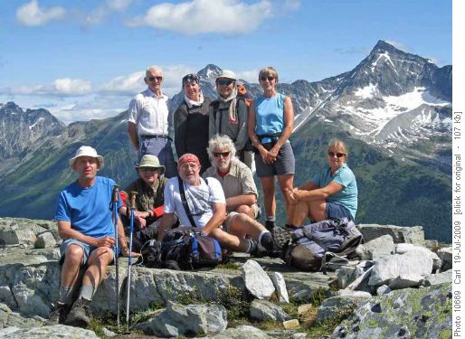
Carl, Bob, John, Ivan, Alicja, Frith, Sim, Jeannine and Sheila on Abbott Ridge (Avalanche Mtn behind us, Eagle Peak at right)
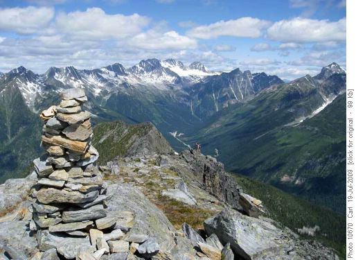
Climbing to Abbott Mtn (Rogers Pass visitor centre in center of photo)
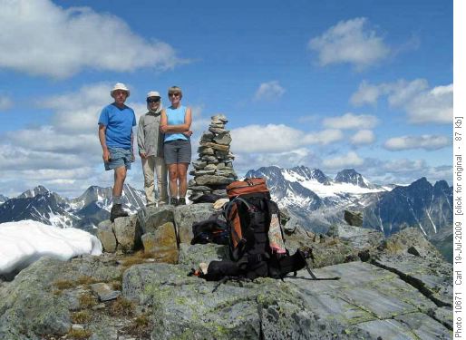
Carl, Sim and Jeannine on Abbott Mtn (Hermit Range in background)
Monday (at Mt Revelstoke NP): Jade Lake
On Monday, nine drove the 70 km to Revelstoke and the amazing 25 km ( 1200 m climb) drive up the "Meadows in the Sky Parkway" to the top of Mt Revelstoke. Note: Mt Revelstoke and it's park are on the north side of the highway, the "Revelstoke Mountain Ski Resort" is on Mt Mackenzie south of the highway. The trail to Miller Eva and Jade Lakes dips about 100 m before climbing 400 m to Jade Pass and then drops 300 m to Jade Lake.
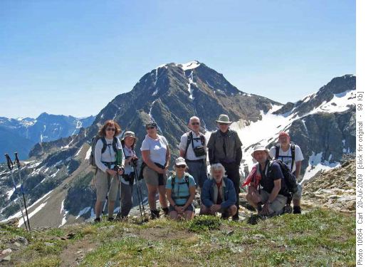
Janet, Janice, Alicja, Sheila, John, Frith, Bob, Carl, Ivan at Jade Pass
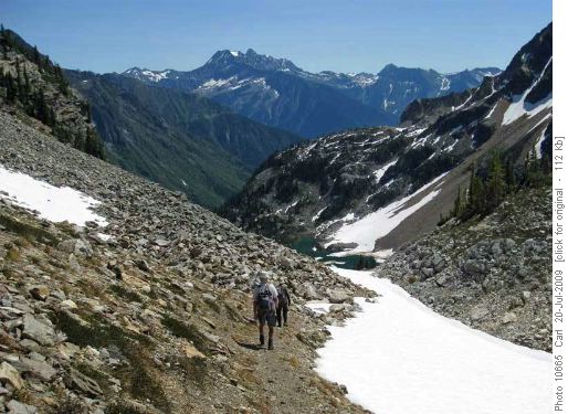
Descending from Jade Pass to Jade Lake
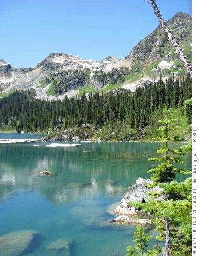
Jade Lake and Jade Pass (just right of center)
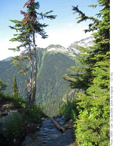
Eva Lake draining precipitously into Coursier valley
Tuesday morning: Avalanche Crest
Eight set out to Avalanche Crest. We went past the end of the trail to get to the top of the ridge. Four returned as they came, while four continued up the ridge and descended on the route that four others had used in the ascent of Avalanche Mtn on Saturday.
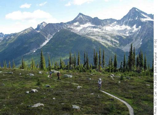
Avalanche Crest (center) from Abbot Ridge (Mt Macdonald, Avalance Mtn and Eagle Peak on skyline)
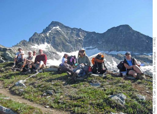
On Avalanche Crest (Avalanche Mtn in background)
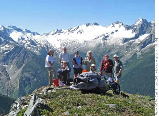
Janice, Sheila, John, Alicja, Frith, Sim, Ivan and Carl on Avalanche Crest (Asulkan Valley in background)
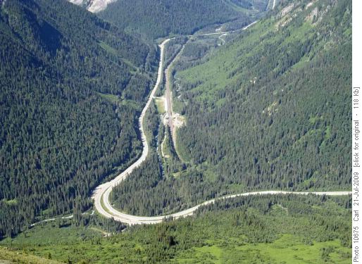
Looking east from Avalanche Crest (Illicillewaet campground and Wheeler hut near near curve, west entrance to Connaught Tunnel in center)
After taking a longish break and a visit to the Rogers' Pass visitor centre six of us headed up for an afternoon hike on the Hermit Trail. It's only 2.8 km each way! But it climbs 800 meters in that distance! Two Ramblers were so pumped that they kept going past the campground and aren't in the group picture.
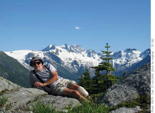
Our fantastic coordinator (Hermit Range in background)
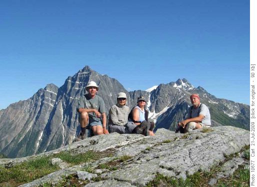
Carl, Sim, Alicja and Ivan at Hermit backcountry campground (Mt MacDonald in background)
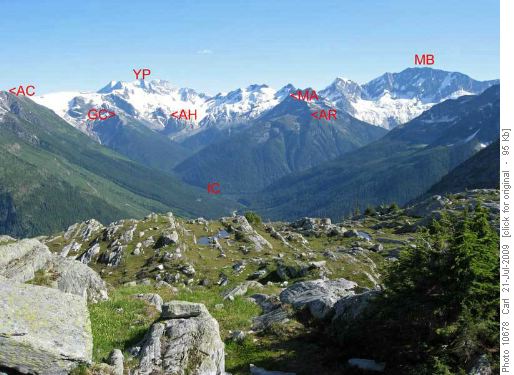
View from Hermit backcountry campground - Avalanche Crest, Glacier Crest, Young's Peak, Asulkan Hut, Illicillewaet Campground, Mt Abbott, Abbott Ridge, Mt Bonney
By Wednesday morning we were down to five Ramblers and there was still one more trail on Ivan's list at Glacier Park. And so we set off for Balu Pass. Like the Hermit Trail, this is on the north side of the highway and therefore provided a different set of spectacular views, both of the Hermit Range to the north and of the hikes that we had already done to the south.
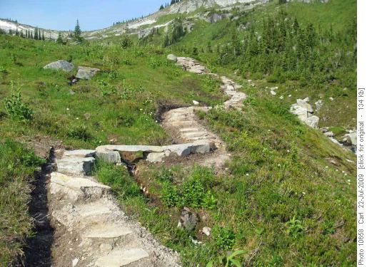
Beautifully built trail to Balu Pass
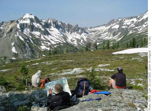
Taking in the amazing scenery at Balu Pass (Cougar Mtn and Cougar creek valley in background)
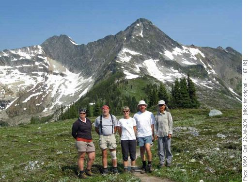
Alicja, Ivan, Jeannine, Carl, Sim at Balu Pass (Ursus Major Mtn in background)
In summary:
Friday afternoon: Perley Rock - 10 Ramblers - 12.5 km/1150 m climb.
Saturday morning: Glacier Crest - 10 Ramblers - 10 km/1000 m climb
Saturday afternoon: Asulkan Valley - 5 Ramblers - 13 km/800 m climb
Sunday: Abbott Ridge - 14 Ramblers - 10 km/1040 m climb
Monday (at Mt Revelstoke NP): Jade Lake - 9 Ramblers - 18 km/800 m climb
Tuesday morning: Avalanche Crest - 8 Ramblers - 9 km/1000 m climb
Tuesday afternoon: Hermit Trail - 6 Ramblers - 6 km/800 m climb
Wednesday morning: Balu Pass - 5 Ramblers - 10 km/700 m
What was amazing to us is that all eight of these hikes were fantastic. If someone said that they only had time to do seven, we'd be hard-pressed to say which should be dropped.
These hikes are all described in "Hiking Yoho, Kootenay, Glacier and Mt Revelstoke National Parks" by Michelle Gurney and Kathy Howe (available at the Calgary Public Library). But in fact, the trails are so good (and well marked) that one really only needs the "Rogers Pass" and "Mt Revelstoke Park" maps from The Adventure Map company (available at MEC). these maps are quite similar to the Gemtrek Maps with trails shown on a contour map and brief descriptions on the back
The ultimate survivors of all of the Rambler trips were Alicja, Ivan and Carl.
In between the major hikes several Ramblers also explored some short interpretive trails in the park.
Is is impossible to thank coordinator Ivan enough for organizing this trip (with many changes in attendees and issues with the campgrounds), selecting a fantastic series of hikes, and providing unbelievable weather. Participants were Alicja, Jeannine, Sim, Sheila, Frith, Janice, Greg, Janet, Bob, John and Carl (scribe). "Hangers on": Cordula, Dennis.
Photo Gallery with many more photos
More photos to be added if they are sent to Carl.