Opal Creek Off-Trail Hike on 18-Jul-2009
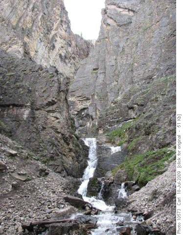
Opal Falls presents a formidable and impassable barrier to the upper valley. There are good (but braided) trails from the Elpoca Viewpoint parking lot, leading to the falls, but no way to get up valley from here.
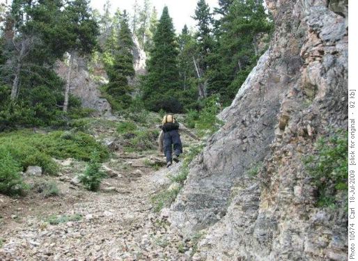
The practical route, described by Gillean Daffern, starts about 300 metres down the Valleyview Trail from this parking lot, and follows up a ridge. We were not able to follow this route due to a Valleyview Trail bear closure in our July 18, 2009 exploration. We went up what she describes as a “slithering gully.” Do not take this route if you have any choice. It is extremely steep and loose and most unpleasant to climb or descend.
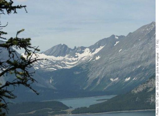
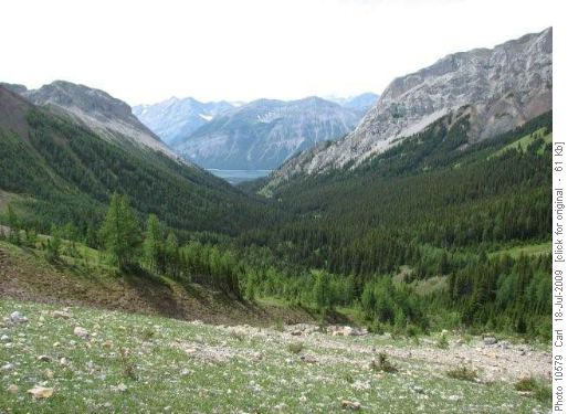
This is the view from the top of the ridge (300metres of climb), of the Mangin Glacier and Waka Nambe pinnacle across the Kananasksis Lakes. You could enjoy this view without coming up the gully (apart from the bear closure).
From the top you get a view down the awesome canyon, certainly the wildest, most impassable gorge I have seen in the Canadian Rockies.
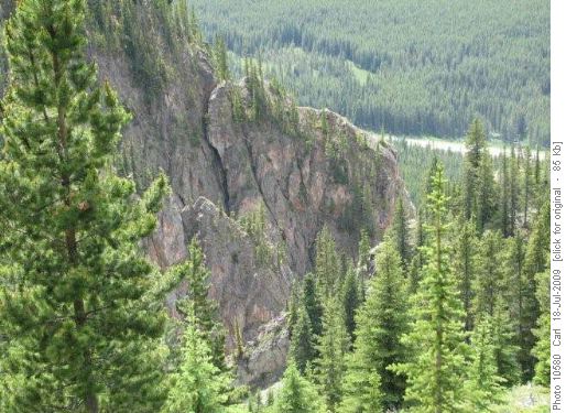
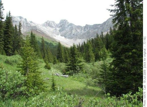
There is a surprisingly good trail up the ridge and into the upper valley, the inner sanctum of the rugged Opal Range, which includes a front range east of the Kananaskis Trail (Highway 40) and a second, higher, range, which divides Peter Lougheed Park from the Elbow-Sheep Wildland Provincial Park.
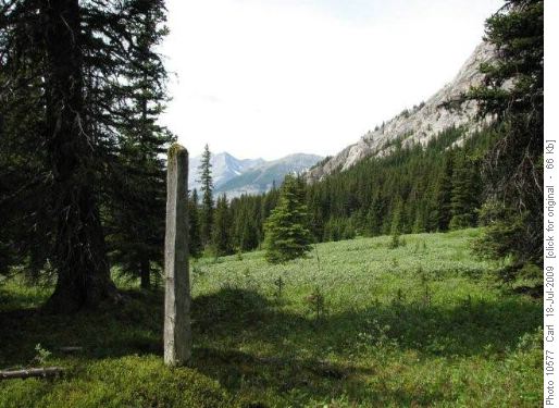
In the middle of this remote and wild place there is a sturdy man-made post. Who put it up and for what reason remain a mystery of history.
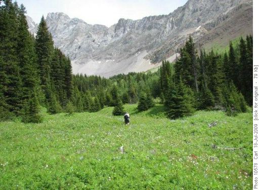
In July the lush green meadows and flowers are knee deep. The going above the trail is fairly easy, with much open country and game trails through fingers of subalpine forest.
There is a great view from the head of the creek, right at the treeline. We saw 15 sheep grazing at the very top of a col and outlier of Mount Jerram.
The trip is about 10 km and 750m of elevation gain.
Ramblers July 18, 2009 exploration team Francis, Chau and Carl, coordinator and scribe.
