Little Whaleback Ridge (Bob Creek Wildland) Off-Trail Hike on 4-Jul-
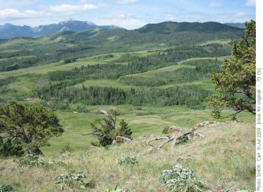
South end of Little Whaleback Ridge
Three Ramblers explored routes on the Little Whaleback Ridge in July, 2009. The access road leaves Highway 22 at the Maycroft campground and goes 13 km to a parking lot just past the Bob Creek Ranch. The trailhead is 171 km from Heritage. From the trailhead, turn right on the old “no motorized vehicles” road before reaching the OHV trailhead. Shortly ford Bob Creek and follow the trail through riverine cottonwoods. In half a km pass the road to the right leading to Beaverdam Ridge. Where the trail turns right to ascend a benchland, you have the first opportunity to ascend one of many ridge fingers to the main ridge. Just cross the creek, push through a ribbon of forest and follow the grassy slope up. (seen here from Beaverdam Ridge)
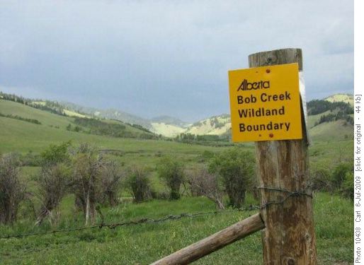
Boundary on Bob Creek trail
To do an out-up-valley and back-on-ridge route, continue to the benchland. You cross the Rangeland to the Wildland boundary.
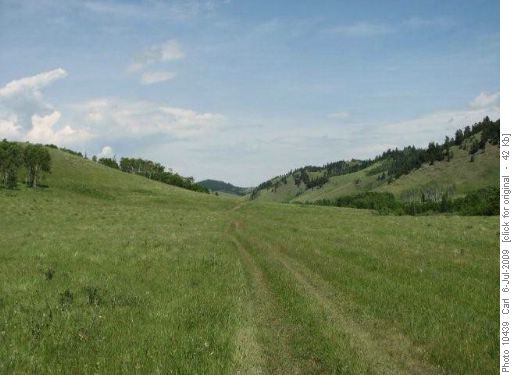
Bob Creek trail
Go up the valley as far as you want.
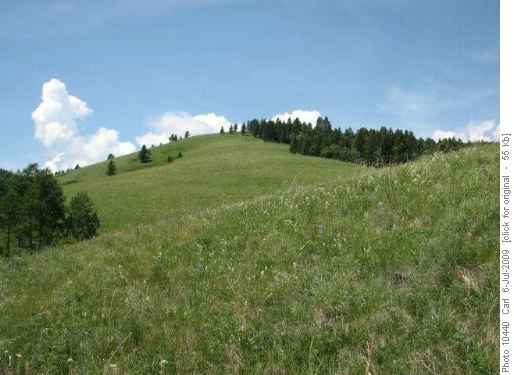
typical finger ridge ascent/descent
Take any of the many fingers up to the ridge top. We did this one.
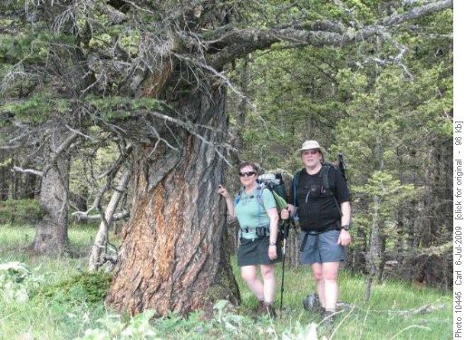
Giant Douglas fir on Little Whaleback
Ancient Douglas firs, like this one which probably pre-dates European contact in North America, are one of the main reasons for the park.
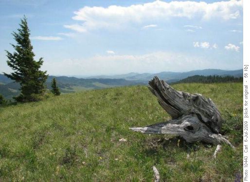
Typical top on Little Whaleback Ridge
This is a typical “top” on the ridge. You can go north or south as far as you want.
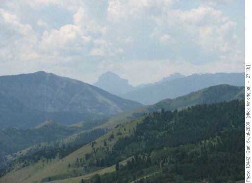
View of Crowsnest Mountain
The view is spectacular, including Crowsnest Mountain and the Seven Sisters.
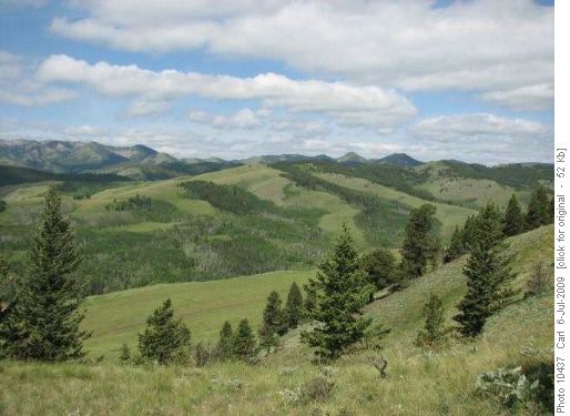
Little Whaleback Ridge
This is the Little Whaleback Ridge, as seen from the Beaverdam Ridge to the east.
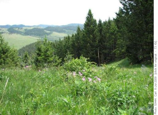
Typical coulee descent/ascent
You can go up (or down) any of the fingers and also go down (or up) any of the equally numerous coulees between the fingers.
Trip statistics: 12 km (our route), 417 m elevation gain. Exploration party on July 4, 2009: Sharon, Stephen and Carl, coordinator and scribe.