Wasootch Ridge Off-Trail Hike on 18-Apr-2009
It was 9:15 on a brilliant day, when a group of happy Ramblers set out to explore snow conditions on Wasootch Ridge (trailhead at approx. 1450m). We welcomed Chau back to the Ramblers. The first 1.5km already took us 320m higher onto the undulating, steadily climbing ridge. Quickly, the views SE along the ridge onto the Fisher Range open up to form a magnificent panorama.
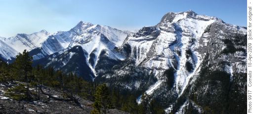
Fischer Range SW of Wasootch Ridge. Mt McDougall (2726m) on far Left Horizon

Fischer Range, looking SE along Wasootch Ridge As we ascended the ridge, we started to cross thick crusty snow about 3.4km from the trailhead at 1,920m altitude, which slowed us down due to continuous post-holing (breaking through the surface crust), sometimes up to 2 feet down. We reached the lower summit before the first rock slabs at 12:45PM, where we found a notch in the rock sheltered from the wind to enjoy the warm sun. The view was magnificent.
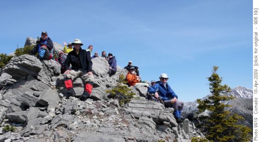
Happy Rambler Lunch, a little NW of the 1st Wasootch Slabs (2,155m alt.)
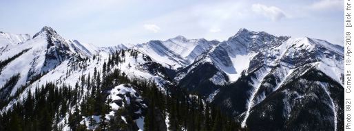
SE Lunch view: Wasootch Ridge & Summit left of centre; Mt McDougall on far centre horizon. Right of Centre Fischer Range nameless Peak
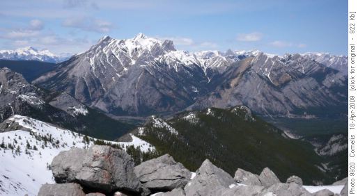
NW Lunch View: Wasootch Ridge & Mt Lorette (2,469m alt.) in the background We started back down to the trailhead at 1:15PM, arriving at the cars at 3:45PM. Thanks all for coming on this beautiful day!
Participants: Honey the long-haired Dachshund, John, Andrew, Deborah, Stan, Greg, Janice, Alicja, Ricardo, Evelyn, Allan, Nicholas, Chau, Cornelis (Coordinator, photographer, Scribe and mapmaker).
Trip statistics: 11.2km. Effective elevation gain 705m. Total climb 910m. (Click on the map to enlarge.)
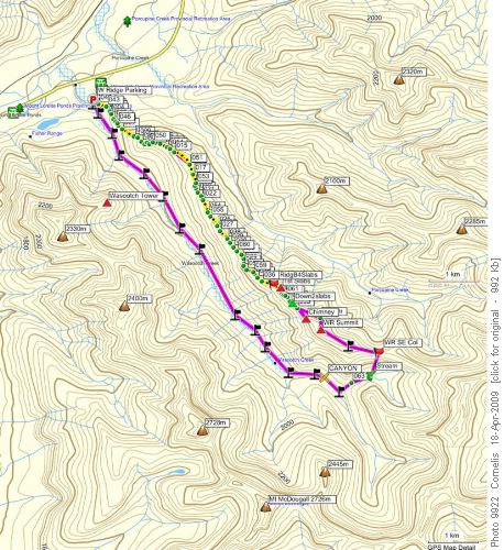
Wasootch Ridge to 1st Slabs & back


