Johnston C - Ink Pots - Larry's Camp Snowshoeing on 2-Feb-2008
Three Ramblers met at Assumption at 8AM, where we welcomed Cathy as a new member, expanding this expedition to four eager “snowshoe sloggers”. Shortly before 10AM, we arrived at the Johnston Canyon trail head. When we opened the van’s tailgate, 3 backpacks rolled out. Fortunately, this class-3 avalanche was the only avalanche we encountered that day. The weather was a mild -8’C and mainly sunny. The canyon was decked out in all its winter glory, and we were too early for the usual tourists and ice-climbers. We admired the Lower and Upper Falls.
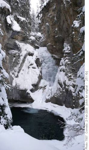
Johnston Canyon Lower Falls
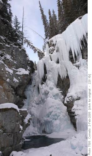
Johnston Canyon Upper Falls We continued beyond the upper falls, ascending 322m above the trailhead to the highest point (approx. 1,740m altitude) on the trail to the Ink Pots, where we made a group picture of the participating ladies (Cornelis not being sufficiently photogenic).
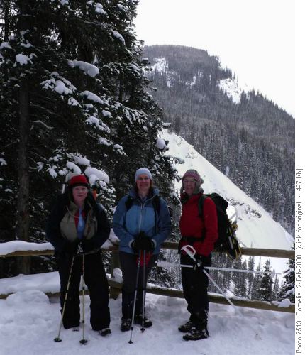
Cathy, Sandy and Linda at just about the highest point (1,740m) between Johnston Canyon and the Ink Pots During the descent to the Ink Pots, we had a beautiful view of Mt Ishbel (2,908m summit).
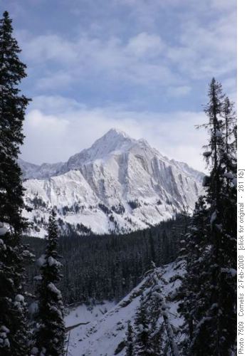
Mt Ishbel (2,908m) West-Face, seen from the trail to the Ink Pots The snow was sufficiently compacted for normal hiking up to the Ink Pots. We had lunch at the Ink Pots (1,645m altitude), enjoying the view of this tranquil valley.
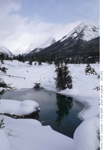
Looking North across Ink Pots (1,645m altitude) After our lunch, we donned our snowshoes and crossed the Johnston Creek using the footbridge north of the Inkpots, hiking north towards Larry’s Camp (just over 2km north of the Inkpots). Approximately mid-way, Linda and Cathy turned back towards the Ink Pots to enjoy the scenery and take more pictures. Sandy and Cornelis continued on following the Johnston Creek / walking across its ice, and turned back 400m beyond Larry’s Camp (52m above the Ink Pots). We made a few pictures on the way back, appreciating the silent winter landscape.
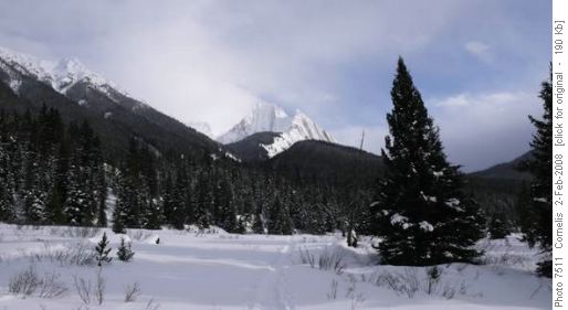
Johnston Ck Valley North of the Ink Pots looking South to Mt Ishbel (2,908m)
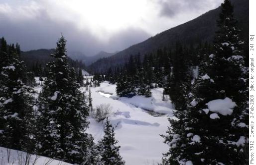
Johnston Creek, just North of the Ink Pots foot bridge, looking South Back at the Ink Pots, we found Linda and Cathy happily chatting and enjoying the sun and views. We quickly started our 112m ascent back up to the high-point. From there it is mostly down-hill to the Canyon. At this point Cathy unfurled her “Crazy Board” and slid on her belly, head-first down the trail! We were back at the trailhead by 5PM and stopped at Canmore for hot chocolate and coffee.
Participants: Sandy, Linda, Cathy (new member), Cornelis (coordinator, scribe and photos).
Trip statistics: Distance: 17.5km. Effective elevation gain 322m. Total elevation gain 550m.


