Surveyor's Ridge 592179, Mt Ware loop Off-Trail Hike on 28-Oct-2007
It was a warm morning for the prescribed meeting time at Heritage PL. The sky was dark but the sun had risen by the time the Gorge Creek trailhead was reached. There was snow on the ground but fortunately mainly frozen and patchy. We planned to do the loop by hiking up Surveyor's Ridge and then traverse over to Mount Ware and then follow the southeast trending ridge to eventually join the Gorge Creek trail.
There has been some work done on this trail with two new bridges and a rerouting of a section of the trail. We eventually climbed up to the ridge which eventually connects to Surveyor's Ridge using cutlines.
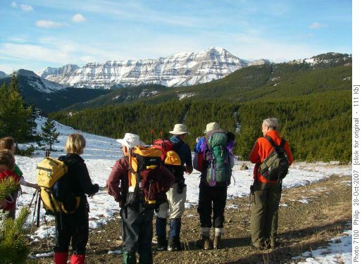
Admiring Bluerock
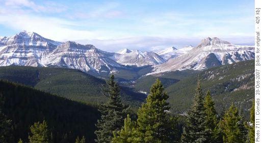
Bluerock Mt 2,789m - Mt Rose 2,500m as seen from N of Surveyors Ridge coord 592-188 Although only one participant had done this trail before, all trails and cutlines were easily found and we were on top of Surveyor's Ridge by noon. It was a little slippery on the grass slopes leading up to the ridge and there was a little bush from the last cutline onto the ridge, but all in all a fairly straight forward ascent.
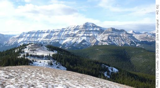
Bluerock Mt looking SW across Surveyors Ridge SW summit 2,167m
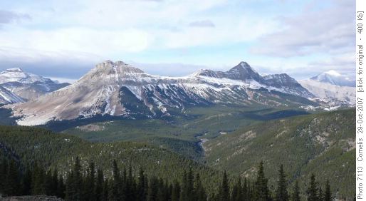
View WNW from SW summit Surveyors Ridge 2,177m, Mt Rose & 3-Point Mt 2,600mOnce on top of Surveyor's Ridge it was lunchtime and we had a leisurely lunch in the trees to avoid the wind. After lunch it was onto Mount Ware using the connecting ridge.
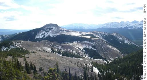
Ridge leading to Mt Ware 2,122m, seen from coord 584-169
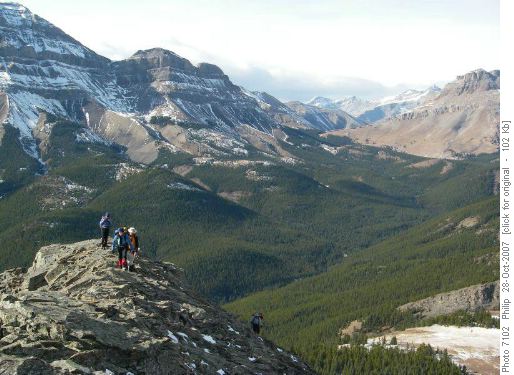
Approaching summit of Mt.Ware
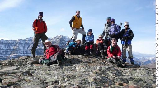
Happy Ramblers on Mt Ware Summit 2,122mThe last section up to the summit made for some enjoyable easy scrambling. We regrouped on the summit and took a summit shot in the "at times" strong wind, then headed down for a second lunch near the trees.
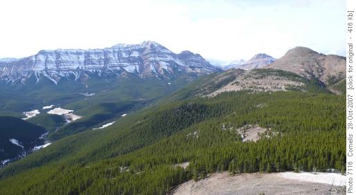
Looking NW from coord 606-147 to Mt Ware 2,122m (right), Bluerock Mt 2,789m in the background After lolling in the grass for awhile we decided we had better get going before we all fell asleep. At this point, master GPS operator Cornelis kicked in guiding us through the trees to the summit at the southeast end of the ridge. We again used the GPS to get down to the Gorge Creek trail through some bush. Once on the trail it was a sometimes muddy hike back to the cars. We arrived at 3:45pm. The Coyote Moon was closed so we were back in the city by 5:00 pm.
Thanks to Jeannette, Rosanne, Eveline, Janet, Philip, Bernie, Laszlo, Ghulam, Cornelis for a great day in great weather in the foothills.
Trip Statistics by the Master GPS Operator: 19km, effective elevation gain 560m (Parking Lot to highest point of the hike on Surveyors Ridge). Elevation gain from the saddle between Surveyor's Ridge and Mt Ware 198m. Total elevation gain, including all the ups 1,000m.
Bob coordinator and scribe. Pictures Philip, Cornelis.


