Mount Taylor/Michel Head Ridge Traverse(Crowsnest) Off-Trail Hike on
The trailhead was found without too much difficulty and the weather appeared to be improving. Up through the overgrown exploration road we headed getting progressively wetter from the bushes as we went on. The bush became less as we climbed higher and eventually we emerged below an outlier ridge. This ridge which led to the main ridge and the main ridge were both climbed. Once on the main ridge which was fairly heavily forested, we proceeded north using mainly animal trails and occasionally open areas along the east side. There was one particular dip which had a fair bit of elevation loss with of course the prerequisite gain and more. We emerged onto the second last summit before the main summit in a raging snow squall. It was getting miserable and cold and the main summit was barely visible. We were considering turning around but decided to have a lunch and see if it might pass by, which it eventually did after 20 minutes or so. With improving conditions we proceeded on to the main summit of Mount Taylor.
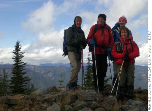
On the summit of Mount Taylor
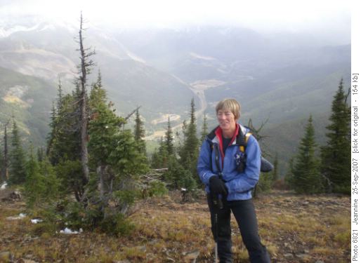
Jeannine on the ridge
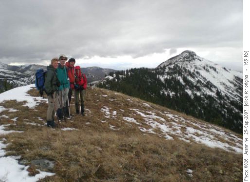
Michel Ridge - summit in background
By the time the ridge ascension point had been reached the weather was still holding so the decision was made to go for Michel Head. This section of ridge is less forested but still there were places where animal trails needed to be followed. Again the ridge undulated a fair bit, with one fairly substantial elevation loss just before the highest point. There tended to be more snow on this section and care was necessary when descending as it was fairly wet and slippery. We finally reached the highest point about 5:30pm and then proceeded over to Michel Head about 20 minutes further on(Not the highest point according to the topo map).
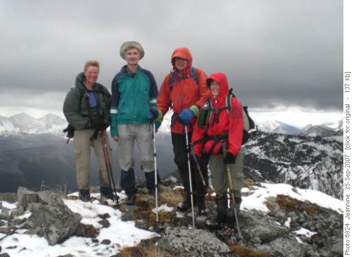
On the summit of Michel Ridge
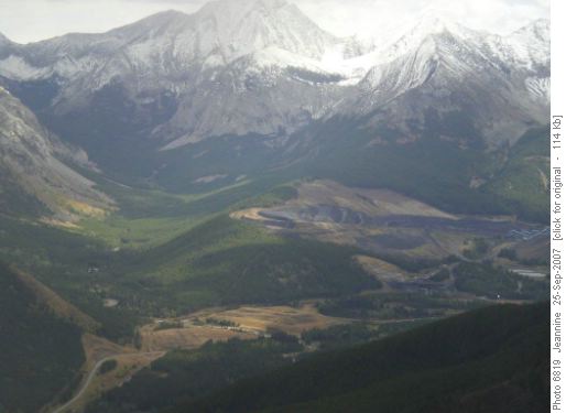
Coal Mine at Corbin
Once Michel Head was summitted the challenge became to get down. With the snow being slippery we needed to find a slope with a minimal amount of this. Fortunately, such a slope was found and eventually we emerged onto a downward trending cutline which it was hoped would take us to an exploration road which was shown to be on this slope, according to the topo map. After, transferring to another deeper downward trending cutline the exploration road was finally found. What a relief to know it was there as it was getting fairly late with perhaps an hour to an hour and a half of daylight left.
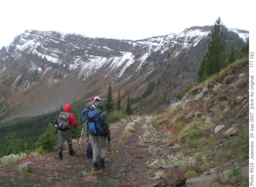
Hiking down the exploration road
We finally reached Corbin Creek, our last obstacle, and were able to find an easy place to cross using a log across a deeper section and wading the shallower sections of this creek crossing. Once across it was just a plod down the road about a kilometer and a half to the cars.
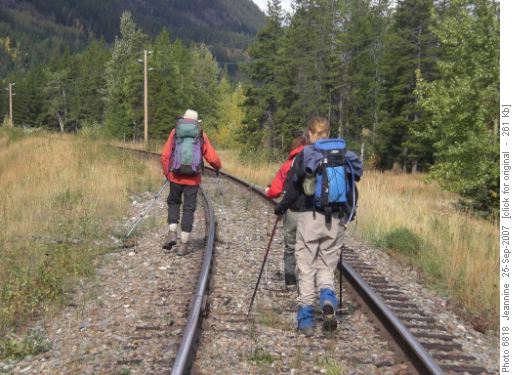
On the way back
We stopped at Tim Horton's in Blairmore for a bite and coffees for the long drive back arriving in the city just after 11:00pm. Thanks to Susan, Jeannine, Janet and Peter for joining me Bob coordinator and scribe on this trip which is not likely to be repeated as a Rambler trip.