Tent Ridge Horseshoe Off-Trail Hike on 22-Aug-2007
This is a super ridge walk, with half of the nine km along the horseshoe shaped Tent Ridge. We started out with 11 hikers but had to leave one (who shall remain nameless) at Kananaskis Lodge. Actually maybe we were 10.1, Deborah's son's tiny dachshund Honey walked/ran much further than any of us. Sure she has four legs, but they are only about three/four inches long!
We were on the trail at around 10 am, and with help from Daffern's description and from Ghulam and Philip we managed to find our way without any bushwhacking up onto the east wing of the ridge via Monica Brook. The (unofficial) trail is narrow and has some deadfall but it is flagged at a few critical locations and really quite easy to follow.
The reason why we had to leave one Rambler behind was that she had forgotten her boots back at Shouldice.
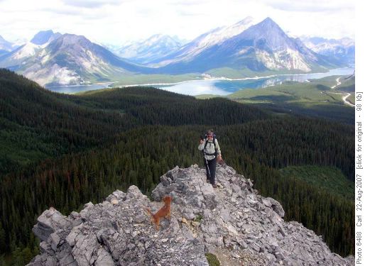
Honey and Rita ascending Tent RidgeOnce up onto the ridge, the vistas open up in all directions with Engadine, The Tower, Galatea, Chester, and maybe Fortress to the east, Commonwealth, Birdwood, The Fist and Smuts to the south, Shark and Assiniboine to the west and Nestor to the north to name just a few of the more obvious peaks.
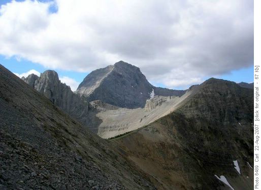
The Fist, Mount Smuts, and the main peak of Tent Ridge (from the east wing of Tent Ridge)Shortly after noon we made it to the first (east) peak and had a lunch break. The weather was beautiful in the morning, but the forecast was for rain possible later in the day. And while we were here, the wind gusted up a bit and it got fairly cool. In fact it remained quite nice for the rest of the day, and once we were moving we warmed up quickly (except maybe Rita).
While the conversation never really lagged, it would have been even more lively and cheerful if the eleventh Rambler had been with us.
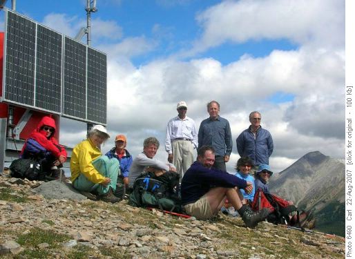
On the east summit of Tent RidgeWe stopped at the highest (southwest) peak only long enough to get another group photo. And to discuss whether there was a decent scramble route from here to the summit of The Fist (less than 1 km away).
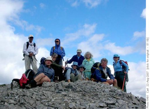
On the Main Summit of Tent RidgeFrom there the ridgewalk heads north along the longest (west) wing of the ridge. Some of this involves scrambling that might be a little harder than most Rambler OT4 hikes. Frequently there is an easier option to skirt the ridge a little bit down the west side. We took another longer break at the end of the ridge before descending.
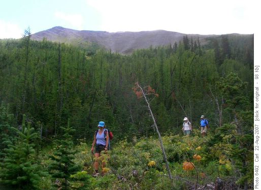
Descent via Gawby Gulch (west wing of Tent Ridge in the background)Again with Daffern's description and Philip and Ghulam's memory we found our way back to the car through Gawby Gulch and without any bushwhacking. No bushwhacking! Can't have been a Rambler OT trip!
We were back at the cars a little after 3:30.
Thanks to all for accompanying me on this mid-week hike. It looks like there is significant demand for more.
Participants: Jeannine, Rita, Deborah, her friend Eva, Stan, Rosanne, Philip, Ghulam, Kaare, and Carl (coordinator and scribe)
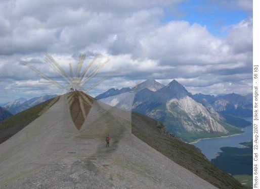
Now I see why it's called Tent Ridge!One last clue, the nameless one's first name matches his/her hair.


