Mt Smuts Mountaineering on 9-Sep-2006
YeeHaaaa, what a fun climb.....Departed trailhead by 7:15am and worked up the commonwealth creek trail. The profile of Smuts was nicely outlined by the fair skies. As we were hiking along through the valley, we enjoyed watching 4 male moose do their early morning routine. As we approached the scree leading to the gully, the sun starting shining directly on us. The scree actually has a switch-back trail up it.
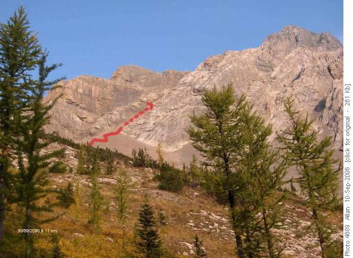
Scree approach to Mt SmutsThe approach gully has excellent steps on the right hand side going up. Water washed and clean rock steps.
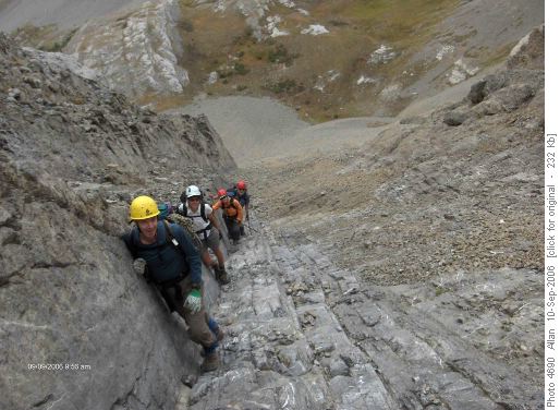
Steps up approach gully for Mt SmutsThis gully leads up to the start of the climb, and the point where many say that this is no longer a scramble, and they are right. To not protect this next section goes against my knowledge base of safe mountaineering. After starting up this section, it would be very difficult to climb back down.
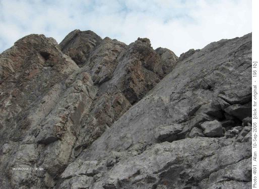
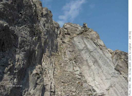
First pitch Mt Smuts, possible turnaround pointThis is the group coming up to the first belay station, pitons circled in red. This station is about 45m up the first section.
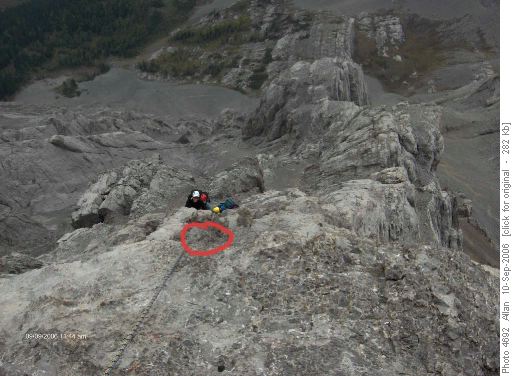
First pitch Mt Smuts, pitons circledThe second pitch will lead to scree, followed by a short chimney and then the final chimney/crux.
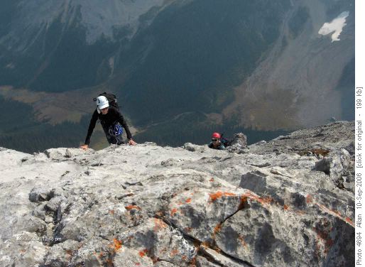
Final chimney/crux of Mt SmutsCharlene and Evelyn topping out of the final crux, easier going from here to the summit.
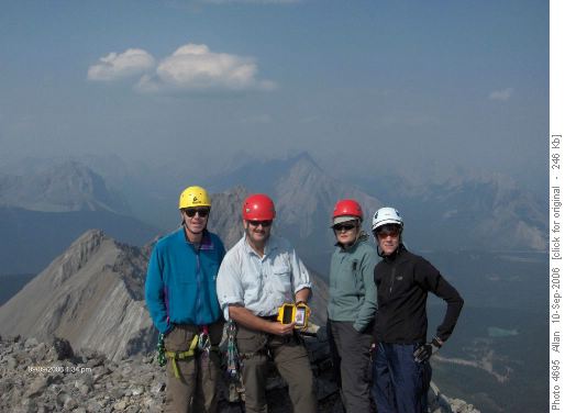
Top of last chimney/crux of Mt SmutsThe summit shot while holding the memorial located at the summit. Norman, Allan, Evelyn and Charlene.
Summit of Mt Smuts (Norman, Allan, Evelyn and CharleneWe enjoyed our time on the summit with great views of the surrounding giants, the smoke did somewhat impair the views. Two other climbers joined us at the top, and came down with us as well. The descent gully is located at the end of the NW outlier (cannot go further) and it is a very loose and steep gully. We studied it for a while and found another gully just before it that joined into the same descent gully. The difference was that this "earlier" gully provided us a large rock that we used as a rappel station. This was the first sling we left behind, but a far better choice that trying to downclimb a decaying gully. This put us half way down, and I built another rap station with pitons and another sling. This got us almost all the way down, with only a 15m lower by rope for the last section. This put us on the ledge (cairn) that led out to easier ledges and scree to finish the descent. From the rock at the top of this gully, two 60m ropes tied together would get most of this gully. Would need to lower the first person to stretch out the rope, as throwing the rope down would just not work. The descent gully is the hardest piece of the route. Fun day when this is treated as a climb and the group comes prepared. Final photo showing group and ascent route
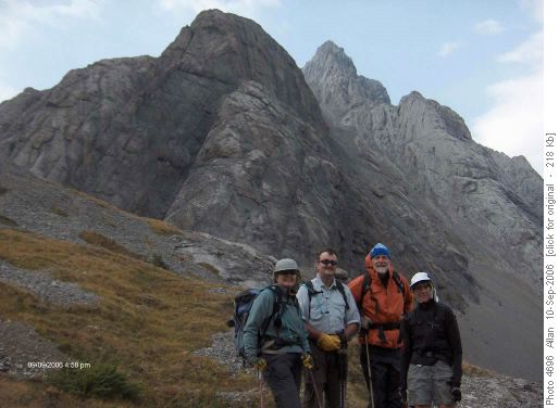
Mt Smuts approach gully and climb Great day in the mountains for Nicholas, Evelyn, Norman, Charlene and myself. Allan


