Kent Ridge 277215 Snowshoeing on 10-Dec-2005
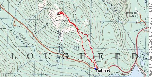
Park on the north side of Hwy 742, just past an unnamed creek approximately 1 km west of the entrance to the Peninsula Day Use Area at GR302173(NAD83). We stuck to the ridge for our ascent and came down via the unnamed creek but you could reverse our route. Either way the first kilometre or so requires navigation through a maze of blown down trees. The creek route might have fewer blowdowns but the footing is more treacherous as you criss-cross the creek. Once you clear the blowdowns the forest begins to open up and the ascent gradually steepens. --invalid photo3143--
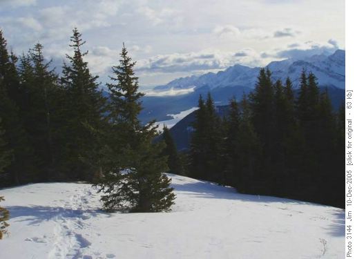
Eventually you come to open areas offering fantastic views of the Smith-Dorrien and Kananaskis valleys,
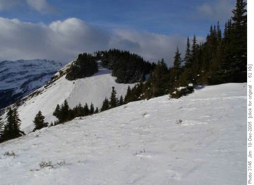
as well as the Spray Mountains. Continue following the ridge to the north-west until finally a prominent knoll at GR288192(NAD83) comes into view.
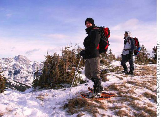
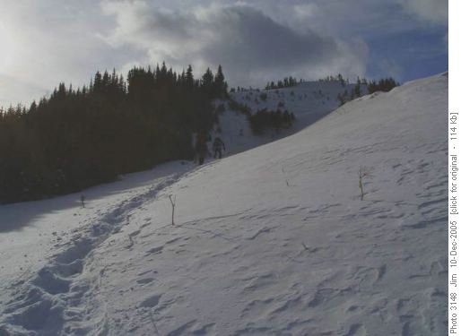
A final slog up through wind packed snow takes you to this prominent viewpoint that offers a panorama of fantastic views.
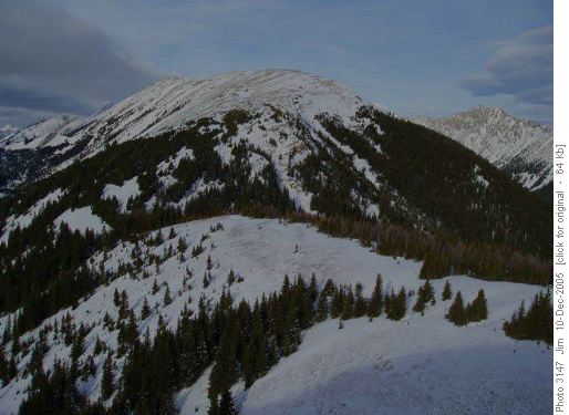
On this day, the continuation of the Kent Ridge route to the north towards Mount Kent offered only windswept bare rock, inhospitable terrain for snowshoes.
After taking a few pictures, we explored the area immediately adjacent to the viewpoint before beginning our descent.
On this day there was not a lot of snow surrounding the viewpoint but there does appear to be a potential for cornices to form. Later in the season, with more snow on the ground, one would have to pick their routes with more care.
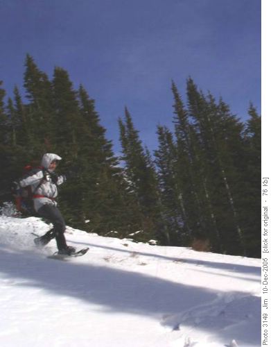
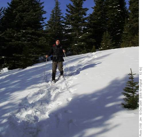
The descent route was pure snowshoeing joy. We picked our way through the trees, plunge stepped
and glissaded through the clearings.
At times we followed fresh moose tracks and at times we laid down our own fresh tracks. This was what we made the ascent for! Off-trail snowshoe heaven! All too soon, the open forest was behind us and we had to forge our way through the final kilometre of dead fall and underbrush. Even this was not too bad and soon we were back on the highway and at the trailhead. The lower elevation deadfall will deter a lot of less determined snowshoers. But, believe me, your labour will be more than rewarded once you attain the upper slopes and the terrain that awaits you.
Trip participants: Jerome & Damian. Coordinator, photographer & scribe: Jim.
Trip Statistics: Distance: 6.14 km; Total Time: 5 h, 46 m; Elevation gain: 704 metres; Maximum elevation: 2360 metres
