Old Scraggy Peak--Little Rocky Mountains Off-Trail Hike on 15-Aug-2005
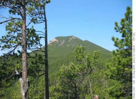
We camped at Camp Creek, a beautiful campground in lush Ponderosa pine and riparian forest, and headed up jeep tracks marked on the topo map, aiming for the peak. As is often the case with old maps and new roads, things just didn’t seem to be lining up quite right, but by the end of the day we realized we went up a new road not on the map and came back on the road on the map. Once at the base of the peak we simply headed straight up, through light forest of lodgepole pine and steep scree, coming out right on the summit, elevation 5,708 feet.
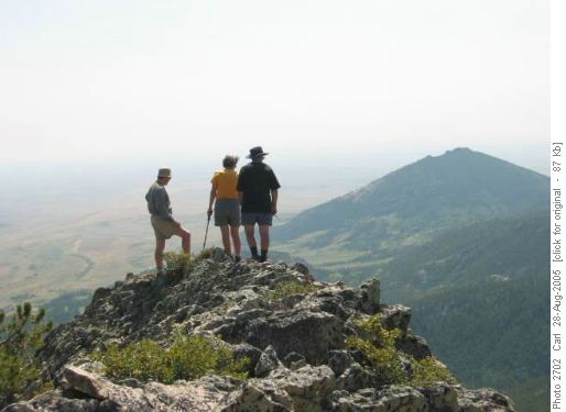
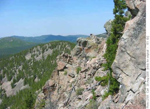
Four summited. Ron, a veteran of many high peaks, noted that despite being far out on the prairies, this really felt like a summit. Most signatures in the summit register were from the local fire crew. There is no trail, and the peak is steep and rocky on all sides, being a result of volcanic magma welling up underground and eventually being exposed. Native Americans use the peak for vision quests.
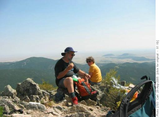
Ron and Colleen enjoy lunch on the rocky peak, with views to the prairies beyond somewhat obscured by smoke. We could see west to the Bear Paw Mountains.
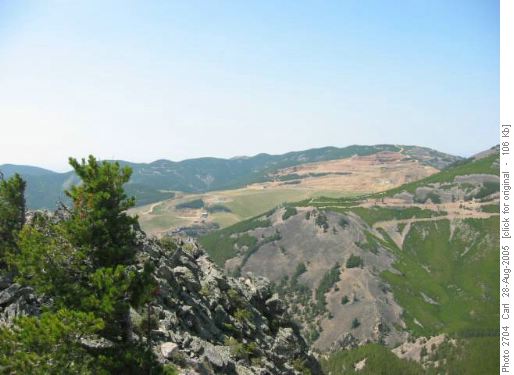
The old mining town of Zortman was the base for a huge gold mine, which stripped the ground high up some of the Little Rockies. In the early days of Landusky, another mining ghost town, $25 million in gold was taken out, when that was big money.
The very rugged landscape is due to the volcanic rock, called shonkonite. We were back to camp by 3:15. Next day we drove almost 400 km to the Missouri River for our next adventure.
Participants: Ken, Jim, Anita, Ron, Micheline, Colleen, and Carl, coordinator and scribe.
