West Butte--Sweetgrass Hills Off-Trail Hike on 14-Aug-2005
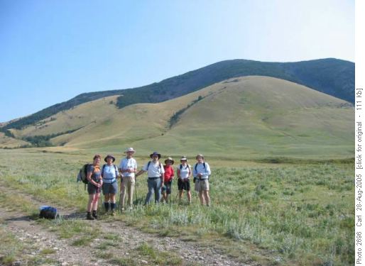
Our group of Ramblers poses before tackling West Butte, the highest point in the three isolated blocks of hills or mountains which were formed by volcanic upwelling of magma underground, which was eventually exposed by erosion.
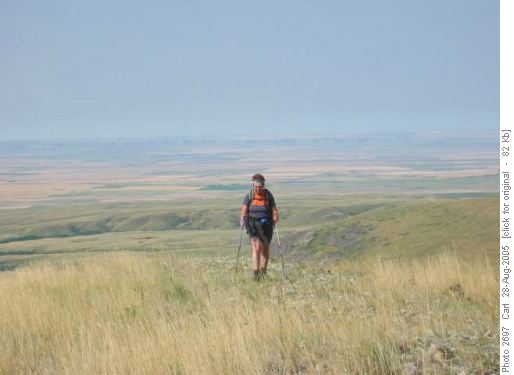
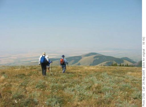
Climbing this butte gives one a sense of being in an airplane, as the checkerboard of wheat fields and prairie grass stretches out for great distances. Smoke from distant forest fires somewhere obscured the Rocky Mountains to the west, but we still enjoyed the view.
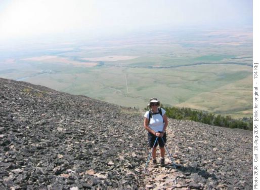
On this peak and others in the “island ranges” of Montana, there is a myriad of well-beaten game trails criss-crossing in the volcanic scree (called shonkinite). They all lead upward to the summit.
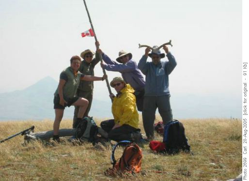
On the windy summit, elevation 6,983 feet, Anita, Colleen, Jim and Carl hoist a Canadian flag, while Ron dons a found pair of antlers. Although the view to the north is the Milk River area of Alberta, we could not claim this as an Alberta Centennial climb, but some other Albertans who climbed the peak on Canada Day had left the flag. Gold Butte, in the central block of hills, stands to the east.
The summit is a large, gently rounded dome, open, windy and treeless, while below lush forests of aspen, lodgepole pine and limber pine are interspersed with prairie grass. The summit register showed a surprising number of hikers. Our route was up a steep slope along a fence, to keep out of posted grazing land, and onto a grassy ridge leading to the scree slopes. Six of the group summited. We were back to the cars by 3, and drove over 400 km to the Little Rocky Mountains for our next adventure.
Participants: Ken, Jim, Anita, Ron, Micheline, Colleen, Sharon and Carl, coordinator and scribe.
