Mt Bogart /Alberta Centennial Mountain Expedition Scramble on 27-Aug-
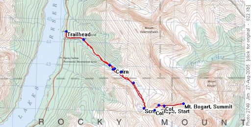
The coordinator had decided on the Sparrowhawk Tarns route rather than Kane's Ribbon Creek route, thereby shortening the trip distance by 14 km and the elevation gain by around 200 metres.
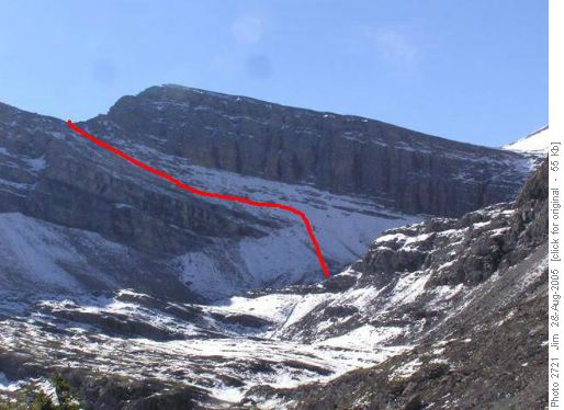
This was the route taken by a Rambler trip of October 2003 and the trip report for that trip was very helpful to the coordinator of this day's trip. Upon arriving at the uppermost of the Sparrowhawk Tarns, we surveyed the scree ascent before us and projected our route to the col.
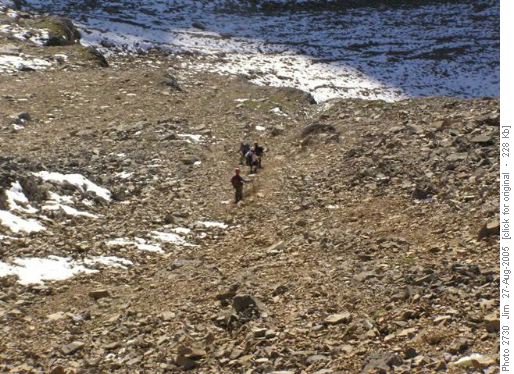
At this point one of our participants decided that snow on loose scree was not something he wanted to tackle and opted for a sunny, restful day enjoying the tarns. The rest of the group broke into two groups of two and one group of three and cautiously ascended the scree, lightly covered with melting snow. Two way radios, provided by the coordinator allowed us to coordinate our activities and made for a safe ascent to the first col. From the first col the route ascends a rise and then drops down to a second col.
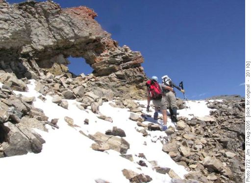
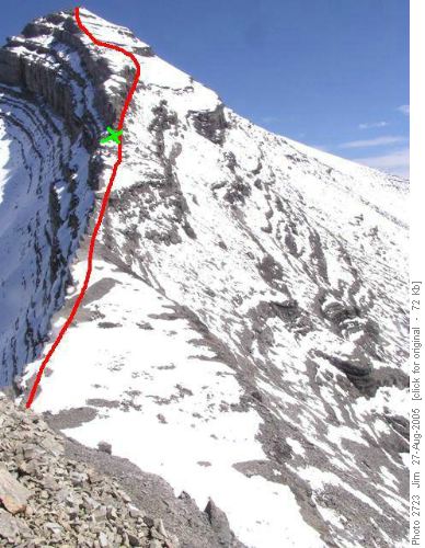
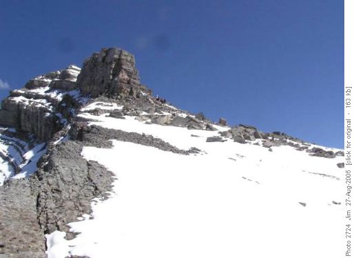
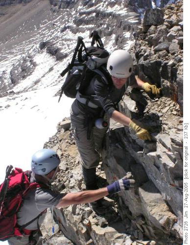
From the vicinity of the 'Moon Hole' we were able to assess the route options before us. Option A is the slab ascent along the summit ridge and Option B is the scree slope below the ridge to the right of the summit ridge. We decided on the slab option as the snow was sparse and traction was excellent on the coral encrusted slab.
After the detour the route gets back onto steep slab for a ways before finishing with a brief scree slog to the summit.
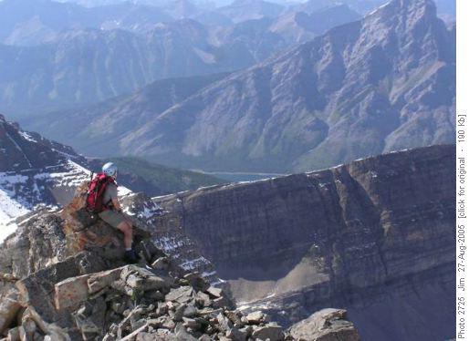
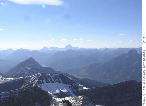
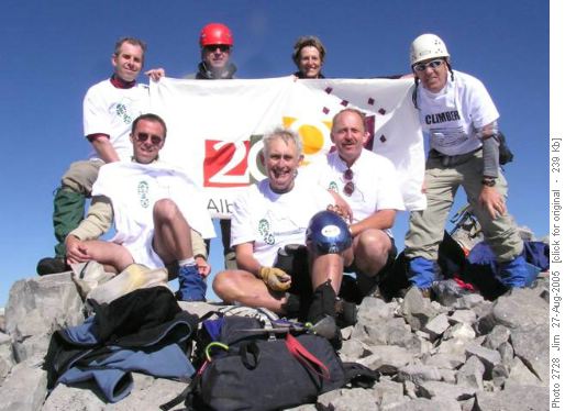
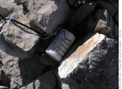
On the summit, after a quick lunch, ACME ceremonies were conducted. The new summit register was signed, the canister was installed and the summit group photo, featuring the Alberta Centennial flag, was taken.
It had taken us 7 hours to reach the summit and with a long descent ahead of us we left the summit at 5:00 pm. We made quite good time on the descent as more of the snow cover had melted by this time. Soon we were at the first col with only the final scree slope down to Sparrowhawk Tarns ahead of us.
From the tarns we made good time back to the cars and were at the trailhead by 9:30 pm, the last few kilometres navigated in deepening dusk yet only one participant saw any need to pull out their headlamp. This participant was desperate for membership in the exclusive 'Headlamp Club' while the rest of us had either joined long ago or deferred membership until a later date. From the trailhead four headed directly back to Calgary while four of us enjoyed a well earned 'Drake Burger' and a pint at 'The Drake' in Canmore.
The coordinator wished to thank an exceptional group of Ramblers for helping to make this trip a success. Egos were left at the parking lot and the group worked as a team throughout the day. For the most part we travelled in small groups, one of three and one of four, and this allowed for a safe ascent and a safe descent over tricky and sometimes treacherous terrain. Particular thanks go to Peter for lending us his expertise and for finding us a safe and enjoyable route to the summit and back.
Participants: Jerome; Ghulam; Damian; Carl; France; Peter; & Michael. Coordinator, photographer & scribe: Jim.
Trip statistics: Distance: 15.7 km; Time: 12.5 hr; Elevation Gain: 1454 m; Maximum elevation: 3153 m.
