Mt Baldy / Alberta Centennial Mtn Expedition Scramble on 26-Jun-2005
This trip was to be an historic event, a joint Rocky Mountain Rambler/Alberta Centennial Mountain Expedition trip to place a new summit register and canister on the summit of Mount Baldy. Therefore, it seemed appropriate to also pioneer a new trip for the club's database. Rather than using the traditional Mount Baldy trailhead and the standard ascent as detailed in Kane's 'Scrambles in the Canadian Rockies', our trip was to start at the Baldy Pass trailhead, traverse the West Baldy, South Baldy and Mount Baldy summits and end at Kane's trailhead on Highway 40. Now other Ramblers might have used this route in the past but no one had ever bothered to register it as a separate trip in the club's database. A new trip with a different trailhead, longer distance, and more elevation gain.
The skies were overcast when eight Ramblers set out on our quest but isolated sprinkles did nothing to dampen our enthusiasm. Soon we were at the start of the trail along the ridge to South Baldy where we took a short break for a snack. Part way up the ridge we noticed that the clouds were beginning to look a bit more threatening so we stopped to don our raingear.
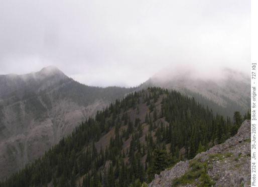
Rainclouds gathering on the summits of West Baldy (left) and South Baldy (right).This was a wise decision as shortly afterwards we were hit by a brief cloudburst that dampened our raingear but not our quest for adventure. This was to be the only serious rain that fell during the entire trip. Just before the South Baldy summit we contoured towards West Baldy and enjoyed a brief scree run down to the col between the two summits. The ascent to West Baldy is an enjoyable SC6 up good rock with excellent handholds. There is one place where you have to edge around a bulge on sloping slab that might be tricky if wet, but our group didn't experience any difficulty on the dry rock.
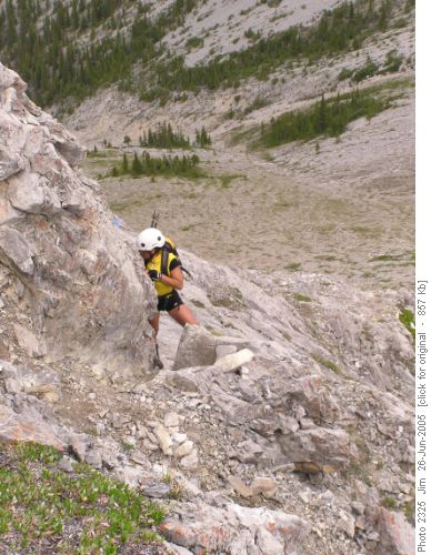
This is the point where a bulge in the rock and sloping slab requires dry rock for safety.
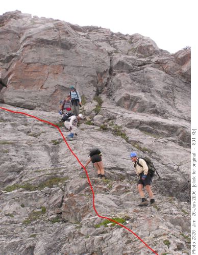
This shows the route up the sloping slab and around the bulge in the rock.At the main West Baldy summit there is an Alpine Club register but scramblers can't help but notice another tempting summit a short distance to the south. This is where the real fun begins, this secondary summit is connected by an airy, exposed, knife edge ridge that offers true SC6 challenge to willing scramblers. This secondary summit of West Baldy is where our group stopped for lunch.
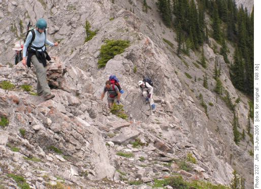
Navigating the ridge between the two summits of West Baldy.After lunch we returned to West Baldy, downclimbed to the col using a somewhat easier route than our ascent route, and then slogged up the scree to South Baldy summit. After a short break we continued our traverse along the connecting ridge to Mount Baldy. The SC6 section of the ridge traverse proved to be no problem to our group after the challenges we had encountered and overcome on West Baldy. On the summit of Mount Baldy, we commenced our Alberta Centennial Mountain Expedition celebration. First we installed the spanking new ACME summit canister. We installed the new canister alongside the existing Alpine Club canister, using the anchor that the Alpine Club had placed there.
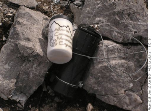
The old (Alpine Club) and the new (Alberta Centennial Mountain Expedition) summit registers.We then signed the register, ensuring our place in history as the first group to sign the new centennial register. ACME t-shirts were then pulled out of packs and put on for the obligatory summit photo.
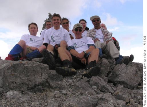
Jim, Jerome, Gary, Susan, Jim, Kerry, Ghulam and Greg celebrate on the summit of Mount Baldy.The coordinator then tried to photograph a 360 degree mountain panorama in an effort to strictly adhere to all the ACME guidelines as detailed in their handbook.
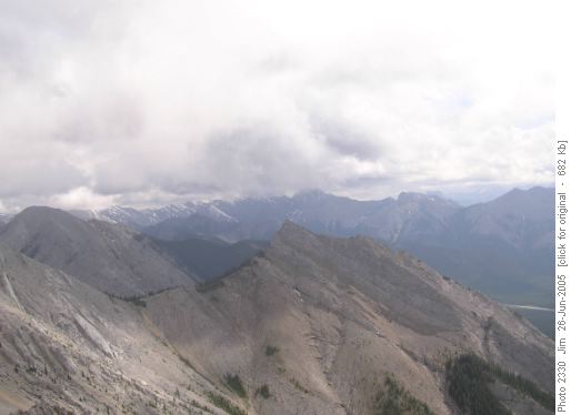
One of a series of panoramic photos taken from the summit of Mount Baldy.Once our historic summit celebration was concluded, we began a fast descent to the valley below and our waiting vehicles.
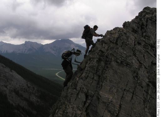
Kerry and Jerome silhouetted against the stormy skies of the Kananaskis Valley.So far the rain had held off, allowing for a safe traverse over dry rock, but as we awaited the arrival of the shuttled vehicles a persistent rain began to fall. As we clambered into the arriving vehicles, the skies opened up and the kind of June rainfall we've come to expect this year engulfed the countryside. Safe from the storm and satisfied with the successful conclusion of our Alberta Centennial Mountain Expedition, we headed back to the city.
Trip participants: Jim; Ghulam; Kerry; Jerome; Susan; Gary; and Greg. Coordinator, photographer and scribe: Jim
Trip statistics: Distance - 12.4 km; Elevation gain - 1212 metres; Elevation loss - 1252 metres; Maximum elevation - 2201 metres; Time - 8 hours, 36 minutes.


