Heart Mtn Horseshoe loop Scramble on 11-Jun-2005
The skies were threatening but the mountains were beckoning as we set out for our Heart Mountain scramble. Our original plan was for the twin summits to the SE of Heart Mountain but we were willing to settle for anything, just to get away from the city and into the mountains. When we got to the trailhead, weather conditions hadn't improved much but at least it wasn't raining . . . yet.
The ascent to the first summit of Heart was straight forward and without any surprises, a steep ascent on well defined trails, occasional scree and an enjoyable scramble over slab. Our small group handled the crux quite neatly and soon we were on the first summit.
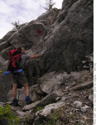
Jerome checks out the crux on Heart Mountain.It was on the first summit that we initially encountered snow but it wasn't too deep and we were able to follow the trail to the SW summit, taking our lunch break en route.
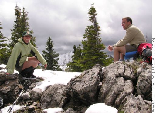
France and Jerome enjoying our lunch break on Heart Mountain.From the SW summit we were able to assess the route to the twin summits and decided that there was too much snow to allow for a safe and enjoyable scramble.
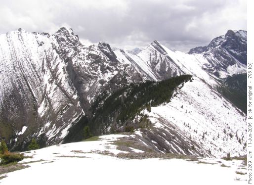
The snow covered route to the twin summits SE of Heart Mountain.
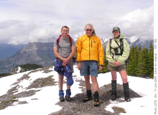
Jerome, Jim and France on the SW summit of Heart Mountain.After taking the obligatory group summit photo we decided to complete the horseshoe route and continued onto the SE summit.
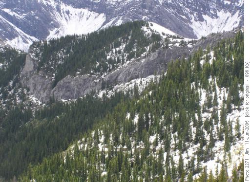
A view, from the SE summit of Heart Mountain Horseshoe, of the SC5 alternative route to the SC6 downclimb route to the twin summits.From this point on we were clear of snow and enjoyed a pleasant descent to the powerline right-of-way and the trail back to the trailhead. We did encounter some wet spots along the Quaite Creek Trail and in some places the trail is underwater but this should dry up nicely once we get some sun.
Trip participants: Jerome and Fr. Coordinator, photographer and scribe: Jim.Trip statistics: Distance - 9.9 km; Elevation gain - 1064 metres; Maximum elevation - 2188 metres; Time - 7 hours, 32 minutes


