Nigel Pass - Jonas Pass - Poboktan Creek backpack Trail Hike on 9-Oct
The cloud was down over some of the peaks but it was a pleasant cool temperature for backpacking. We had lunch with views of Parkers Ridge then continued up to Nigel Pass where we had another break. On the way we met the 5 day trippers we’d seen earlier. The cloud was just touching the tops and the wind was a bit stronger but the views were still good. It was about 2:30 pm when we crossed the now shallow infant Brazeau River on rocks and followed the trail up the other side. Good views back to Cataract Pass and ahead down the valley. As we headed down the trail we saw the river cascading down the rocks to the flatter parts of the valley below. It started to snow but it did not settle and the day remained fairly bright. We had another stop after crossing a bridge to the west side of the Brazeau valley. I was wearing shorts and was getting a bit cool by the end of our break. We soon passed the campsite 3 of us had used on a 3 day ski trip in February 2003 then hiked on to the Four Point Campground by about 5:30 pm. The weather had cleared and it was a fine sunny evening. We cooked supper on a picnic table and I supplied Pumpkin Pie for dessert for all of us. We hung the food using the buckets on the wires provided. Dave, Gail and I were in our tents and Jim was in his hammock by 9pm.
Sunday dawned clear with a temperature of about 2C. Dave, Gail and I went to the warden’s cabin (these cabins are always put in the place with the best view in the area) then we all set off at 9:45. After an initial steep climb we were soon into the long upper valley of Four Point Creek – the sun was shining and we had good views back into the White Goat Wilderness. Ahead the alpine of Jonas Pass and to our left a few small glaciers.
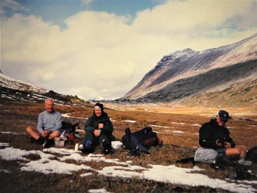
Backpack over Jonas Pass: at rest on approach
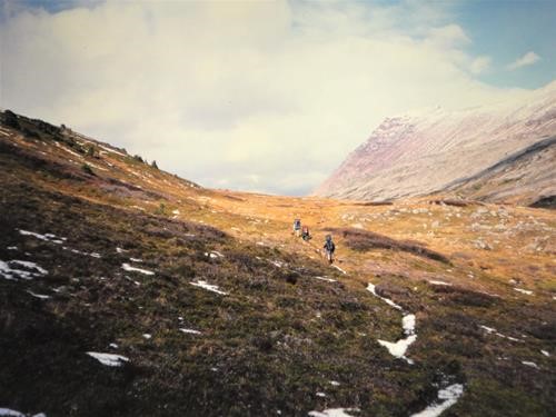
Ramblers approach Jonas Pass
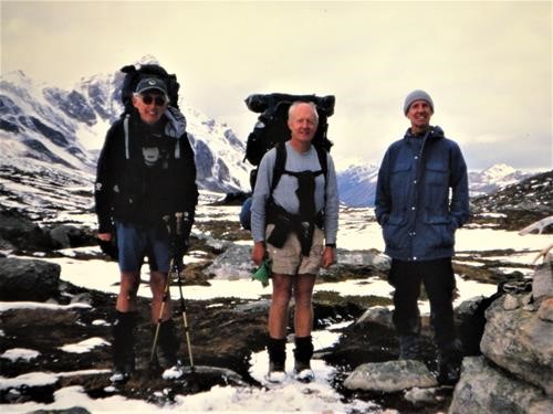
Jim, Alistair,David at Jonas Pass
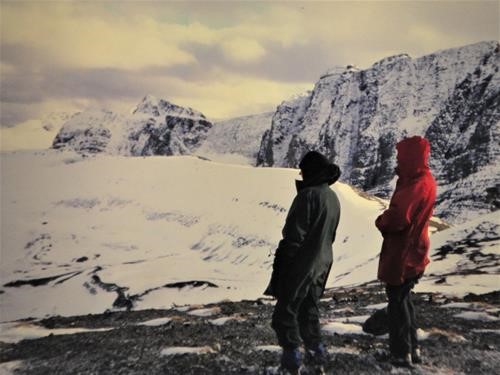
Gail and Alistair admire theview from Jonas Shoulder in October 2004
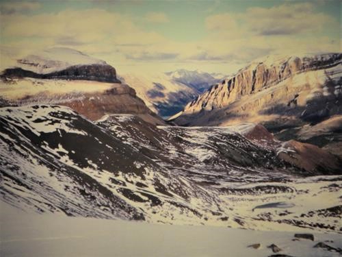
View north from Jonas Shoulder in October 2004
The weather seemed to be clouding in, Jim already had his hammock up. The rest of us put up tents after clearing the inch of snow off the tent pads then we got supper cooking at a very sturdy picnic table. Jim had dehydrated ground turkey, Gail and I had fresh turkey, sprouts, stuffing and cranberry sauce. The second Co-op brand pumpkin pie had survived the journey very well and we all enjoyed a quarter of the pie with whipping cream. 2 guys arrived at the campsite soon after we did. They were on the 10th day of a 12 day trip along the whole South Boundary Trail. We were the first people they’d seen for 9 days.
On Monday we all slept in – everyone expecting to be last up. It was a cloudy morning – temperature around 0C. We had breakfast and were on our way by 10:15. Today would be the longest hike of the 3 days but with the least elevation gain. We just had to follow the trail down the Poboktan Creek valley. The ground was frozen in places which meant the trail was a bit less muddy than it might have been. I often looked back to Jonas shoulder and remembered the fine ski descent I’d done from there in November 1990. Jim started complaining about having to carry out his 2 desserts as he’d had some of my pie. No problem, we can have them for lunch, Gail said! We stopped for lunch after viewing the waterfalls by another warden’s cabin and enjoyed the jello puddings with some dried fruit added. We admired more fine waterfalls a bit further down the trail then had a final major stop at the campground 7km from the highway. The trail down the valley is long but one generally has some views of the surrounding peaks. We reached my car a few minutes before 6pm just as it was starting to rain. We all then returned to the Nigel Pass trailhead. Jim then went on his way to Jasper while the rest of us returned to Calgary by 10:15 pm after a stop at Wendy’s in Canmore.
This was the 2nd time I’d done this backpack. The other time was with Jim Wilson, Bill Pippy and Dale on a trip coordinated by Dick Jull for the August long weekend of 1982. The weather was not as good as this year’s trip. In 1982 there were 10 of us signed up for a trip to Castleguard Meadows for that weekend. However on the Saturday morning at Saskatchewan crossing in the rain, 6 decided to go car camping instead and 4 of us decided on the Nigel Pass Poboktan Creek trip as an alternative to the original plan.
Trip statistics according to guidebook, trail signs and Alistair’s elevation calculations:
Day 1: 14 km distance, 1500’ up, 1600’ down:Day 2: 19km distance, 2000’ up, 1800’ down. Day 3: 21km distance, 500’ up. 2600’ down. Jim’s GPS gave distances as 15.4km, 18.8 km and 24.8km for the 3 days. Jim will likely add some photos to this report.
Update May 2020: Digitized slides added by David.