Mount Howard Douglas Scramble on 25-Aug-2023
We started our ascent of Mount Howard Douglas from the Sunshine ski resort parking lot at 8:30 am. The first three kilometres is on the road up to Sunshine "Village". We discovered that the resort calls this road "Banff Avenue", which perhaps explains why there was so much traffic on it. "Banff Avenue" is followed until arriving at the base of the Goat's Eye chairlift, where we turned towards the cirque that leads to Mount Howard Douglas. We followed the ski run furthest to climbers right until it makes a sweeping turn to the left, at which point we entered the forest, keeping the drainage on climbers right. In a few short minutes we left the trees behind and began climbing across what would end up feeling like an infinite amount of scree. The route makes a gradual curve towards climbers left, aiming for the climbers left end of a scree ledge just below the summit block. This ledge is followed from climbers left to right, which brought us out to ... you guessed it, another scree slope. This scree slope brought us up to the summit ridge, and after yet more scree we arrived at the crux and the only real scrambling on the route, just below the summit. The location of Mount Howard Douglas makes for some interesting perspectives from its summit, especially for places we had visited many times, such as Citadel Pass, the Monarch Ramparts, Healy Pass, Harvey Pass, and Mount Bourgeau. We arrived at the summit at about 12:30 pm, where it was warm and calm and lovely, spent an hour on top, and started heading down at about 1:30 pm. We chose a more direct route on our descent, more or less following the fall line where we could, and staying on smaller and softer scree where possible. We arrived back at the Sunshine parking lot at about 4:00 pm.
Thanks very much to Sim, Bill, Jane, Pam and John for joining me Jack on this infrequently visited peak (I believe this may be the first time it has been done as an "official" Ramblers trip).
P.S. Given the amount of loose scree on this route, I would recommend a group size of five or at most six.
Total Distance: 14.6 km
Total Elevation Gain: 1210 m
Total Time: 7.5 hours
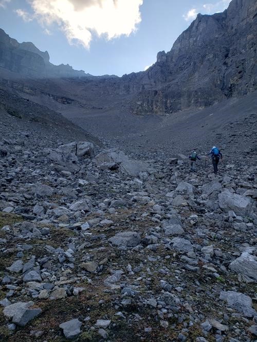
Heading into the morning light on Mount Howard Douglas.
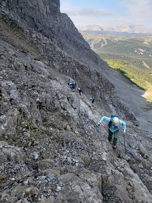
Typical terrain lower down on Mount Howard Douglas.
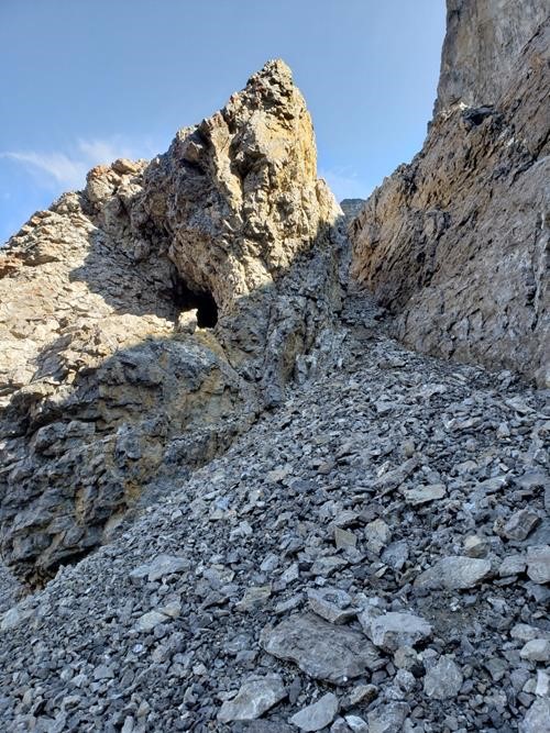
Cool cave on Mount Howard Douglas.
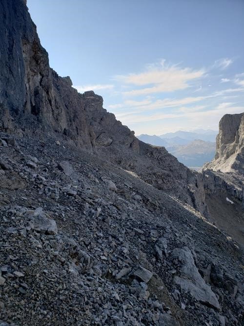
The scree ledge on Mount Howard Douglas as seen on our ascent, so looking from the climbers left end across to the right end of the ledge.
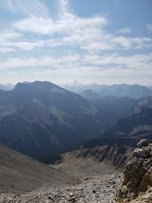
Mount Assiniboine and Citadel Peak from high up on Mount Howard Douglas.
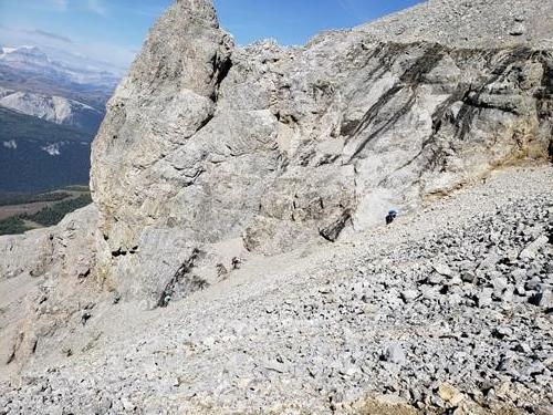
Five Ramblers ascending the scree slope immediately after leaving the scree ledge.

Approaching the crux.
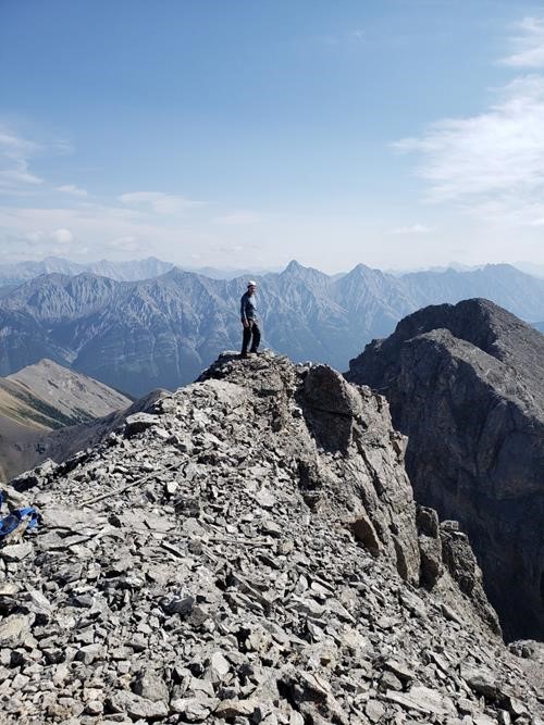
John on the summit of Mount Howard Douglas.
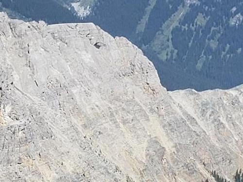
The view of "Goat's Eye" from the summit of Mount Howard Douglas.
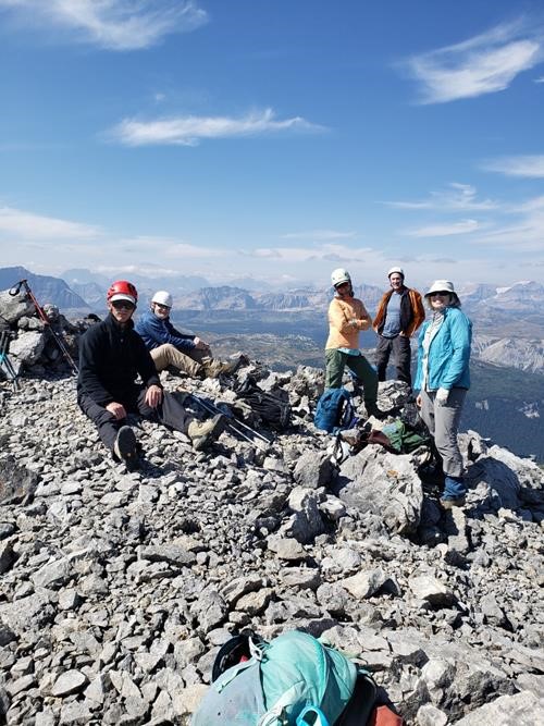
Jack, Bill, Sim, John, and Jane on the summit of Mount Howard Douglas.
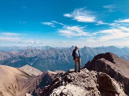
Looking east towards Bill on the summit of Mount Howard Douglas.
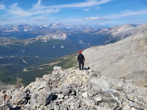
The view north from Mount Howard Douglas: right to left are Black Brett, Harvey Pass, Healy Pass, with Mount Ball in the background.
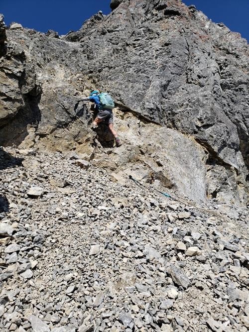
Pam descending the crux just below the summit of Mount Howard Douglas.
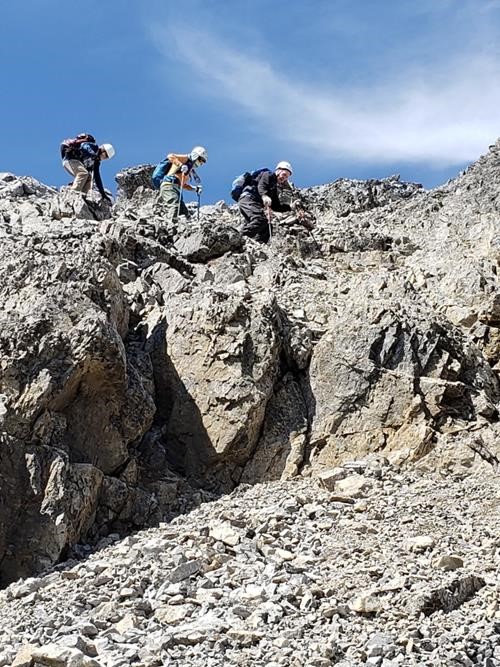
Bill, Sim, and John descending the crux, which is just below the summit of Mount Howard Douglas.
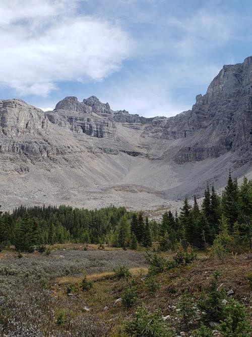
Summit of Mount Howard Douglas is on the left. Most of our route is shown including the scree ledge just below the summit block.