Parker R, Indian R, Geraldine Ls, Wilcox R Trail hike on 21-Aug-2022
All in all, I think a very successful hiking/camping trip,
Sunday - Parker Ridge - some forest fire haze
We left town in two cars shortly after 8 and met up at the Parker Ridge trailhead a little before noon. None of us had actually done this easy hike before. The trigger for me was that it's one of the few "Premium" day hikes from "Don't Waste Your Time in the Rockies" guidebook that I hadn't already done. And I wouldn't argue with their assessment. Starting so high up, the casual hiker is up above tree line within 30 minutes of leaving the car. We wandered along the ridge to the high point a little east of the maintained trail.
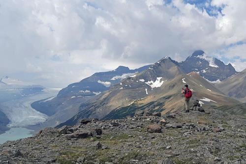
Glenda on Parker Ridge (Mt Castleguard and the Saskatchewan glacier at left)
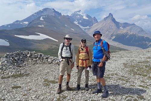
Damian, Glenda and Carl on Parker Ridge (Mt Atabasca in bkg)
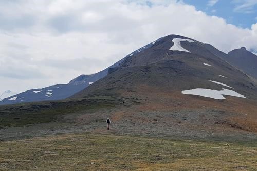
Continuing along Parker Ridge
Monday - Indian Ridge - to the summit and along the ridge to the north peak and back - some forest fire haze
On Monday we elected to take the Whistler tram (discounted price early in the day) and hike past the tourist crowds that go to Whistler Summit to Indian Ridge.
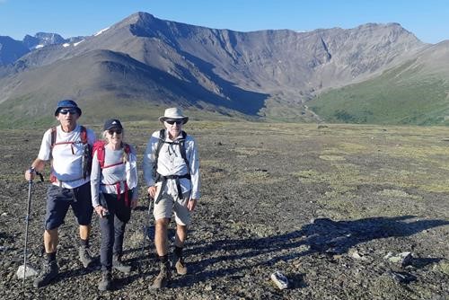
Carl, Glenda and Damian at the Whistler Summit with Indian Ridge in the background
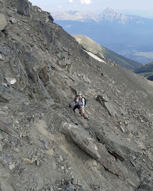
The trickiest part of the ascent to Indian Ridge
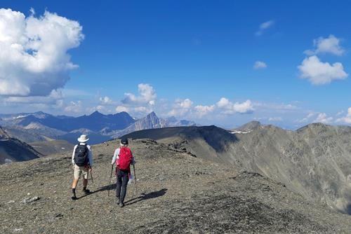
Walking along the broad Indian Ridge
Tuesday - Geraldine Lakes - to the third lake - some rain
It rained a bit over night and was forecast to rain some more. Glenda had never been to Jasper, so she elected to make it an easy day exploring the area and hiked the fabulous Maligne Canyon trail. Damian and Carl thought about doing Cinquefoil Mtn but worried about possible thunderstorms and elected to hike Geraldine Lakes which had been recommended to Carl by a couple of Ramblers. There is an official trail to a campsite at the far end of the second lake. However, while at the start one could easily walk three abreast, pretty soon it gets pretty rooty. Around the first lake it's quite wet. The first lovely cascade is at the far end of the first lake.
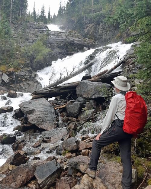
Cascade above the first Geraldine Lake
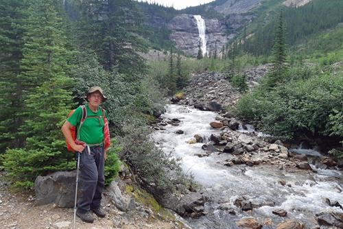
Between the first and second Geraldine Lakes
Wednesday - Wilcox Ridge - to the shoulder of the peak - brilliant weather
On our way back we first stopped at Athabasca Falls
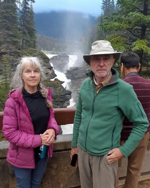
Glenda and Damian at Athabasca Falls
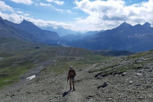
Climbing above Wilcox Ridge (Parker Ridge in middle bkg)
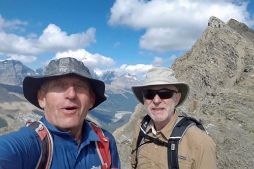
Carl and Damian on the shoulder of Wilcox Peak (scramble starts at right)
We were back in town before 6 pm.
Many thanks to Glenda and Damian for joining me, Carl (C/S).