Mount Haffner Off-Trail hike on 22-Jun-2022
This was supposed to be an easy hike... it turned out to be really good gymnastics exercise! The weather forecast was pretty much spot on: a bit of everything. Leaving Calgary in beautiful sunshine we got under increasingly dense cloud cover with intermittent showers and sunny spots. Undeterred, we arrived at a dry Numa Falls parking lot and set out. Vermillion clearly had a lot of snow on it's south side but Haffner looked clear as far as the clouds allowed us to see. That things were going to be more adventurous than planned became clear when there was no visible turnoff 300m up the road as all tracks and trip reports online seem to suggest. A short bushwhack later we regained the old HWY93 road, now being reclaimed by trees.
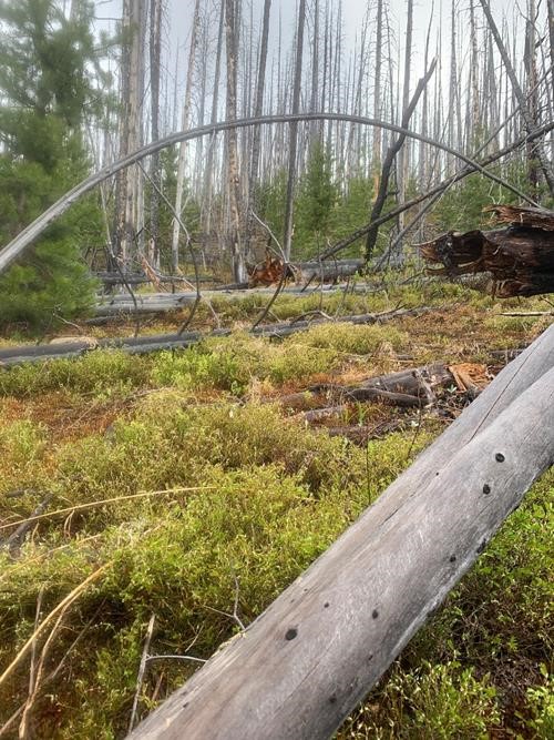
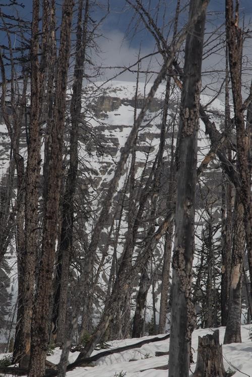
We followed, broadly, the "trail"/gps tracks uphill which coincided with a small rib. Most of the deadfall fell of the rib, leaving minor gymnastics on the way up. We occasionally found open stretches of 30-100m and enjoyed the small pleasures in life. A drizzle made sure the intrepid hikers did not overheat. This would be an absolute nightmare on a hot sunny day. Question #1 of your coordinator was quickly answered: Nope, this was absolutely not a better way into the Haffner valley than following the creek.
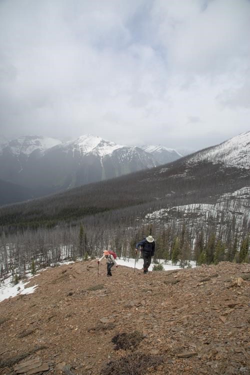
After navigating some denser new-growth (I call it the car-wash) we reached a more open meadow at about 1900-2000m elevation where things got better. The underbrush disappeared and walking among the old burnt forest was quite pleasant. The earliest glacier lilies added a sprinkle of yellow to the scenery and boosted spirits, as did intermittent sun rays. We circled around the SE drainage to gain the col between Vermillion and Haffner after 3h at 12.30. A quick look at the snow on Vermillion had us rule against attempting to use that trail as a faster way out. However, the cloud on Haffner lifted and we continued on for a summit bid.
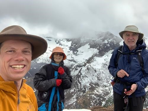
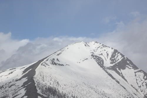
The snow was pleasantly supportive -a nice change from my previous 3 trips- and we quickly gained the snow-free ridge for the final 200m of vertical to the peak. According to the new (2021) register, this was the first ascent of the year. The Haffner valley at our feet, 3/4 of Stanley and Ball visible in the background we primarily enjoyed the views across HWY93 towards Numa, Tumbling and Whymper. After a quick break we retraced our steps and enjoyed a clear sunny view of Vermillion before dropping back into the trees. Stanley showed itself briefly, just enough to maybe tempt us back.
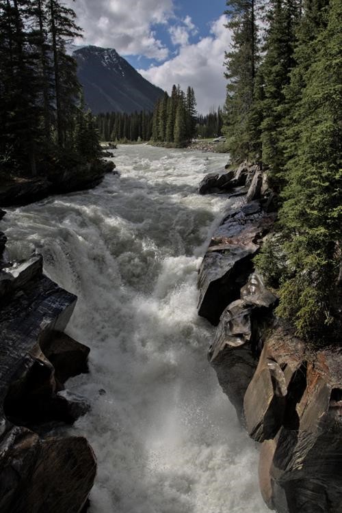
On the descent we got lured into the gully with signifcantly more gymnastics to follow. Once we regained the rib travel remained slow but steady. The bushwhack between the old road and the new 93 was the worst of the whole day, a good indicator of how tired we now were. Numa falls in sunshine was a good treat before we headed back home. Thanks to Damian and Toshiko for joining me on this trip and remaining good-natured and positive about the adventure (ordeal?). @John, that was the best timed blister ever...
Stats: 1150m vertical, 11km of which 8km are solid bushwack, 7h30min moving, 8h round trip.
Casualties: 1 hiking pole, 1 pair of sun glasses
Lessons: Stay on ribs!
Participants: Damian,Toshiko,Sebastiaan (c/s).
