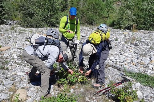
Limestone Mountain Scramble on 11-Aug-2021
A somewhat challenging trip for one that is only about 6km round trip with 600m of ascent. We went up and down the south side generally within 100m of the Nugara route. It was somewhat surprising that there is very little actual trail.
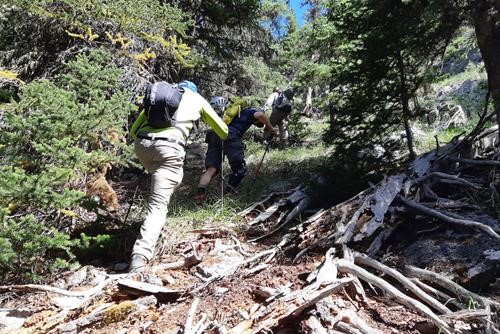
We set out from the Rocky Creek bridge around 10:20 and just kept on working our way up the south slope of Limestone Mtn (which is really just a smallish sub-peak of The Wedge). Every once in a while there seemed to be a bit of a trail, but it usually turned out to be an animal trail and most Ramblers know how ephemeral those usually are. We did have GPS apps running and were trying to follow the Nugara route. But at times we were right on the route with no sign of a trail. In general we were a little to the left of that track.
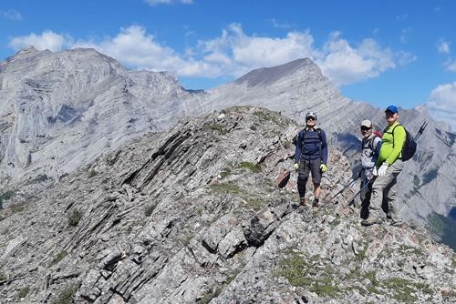
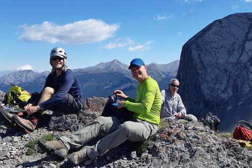
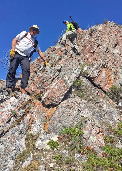
Near the top, two ended up on the ridge that afforded nice scrambling a little sooner that the two others. We made the summit a little after noon.
On the way down we followed that ridge a little further.
But we still had difficulty locating any real trail all the way back to the cars.
We were back at the cars a little after 2:00. It was a little windy in the parking lot but not at the summit, and the heat was somewhat oppressive when we were in sunny spots in the bowl on the way up.
Many thanks to participants: Mike,Dave, and second trip Rambler Garnet for joining me, Carl (C/S).
