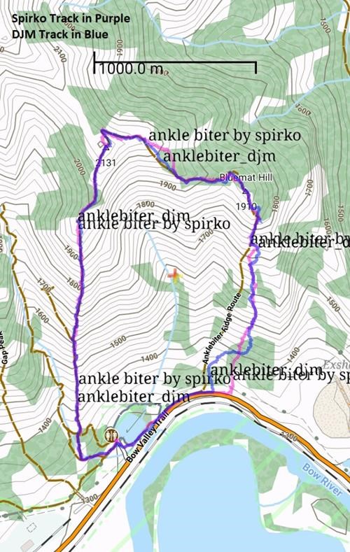
Anklebiter Ridge loop Scramble on 11-Jun-2021
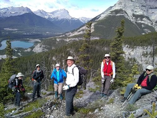
Grotto Mountain Pond was nearly deserted when we left at 8.30am, but the parking lot was nearly full on return at 2.00pm after a very pleasant scramble up Anklebiter. Surprisingly, I was the only one who had done this trip in recent years.
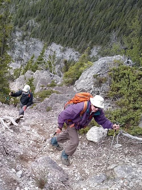
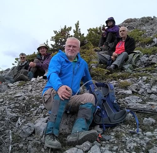
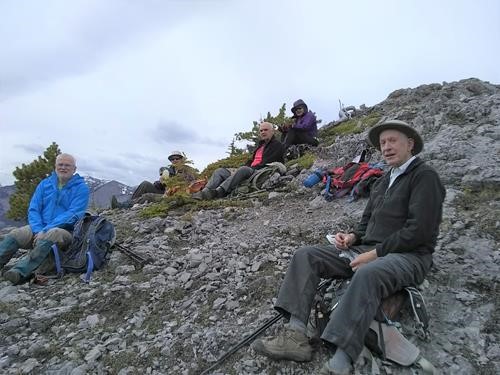
We followed the Grotto Canyon trail west for maybe 100 metres before swinging right on a lessor trail which led up Anklebiter Ridge. This trail led to the summit. There was some scrambling in places and it was steep, but nothing over problematic. Here we enjoyed an early lunch out of the wind.
A rough trail was then followed over the back of the peak and onto the east ridge which led to Bluemat Hill. This trail was a bit sketchy in places, but by generally keeping to the ridge, we ended up at the right place (Bluemat Hill -site of an old hut). The descent to the 1A road soon led to a good scree run of maybe 200 metres, something I had completely forgotten about. Unfortunately at the scree's base the trail disappeared, but re-appeared lower down and to skiers right. We followed this downhill on a minor ridge crest. When it eventually fizzled out, we essentially bushwhacked downhill and slightly to the west. Without too much fuss, this spat us out on the road (highway 1A). It was an easy walk back to our cars at Grotto Pond. Apart from the very lower part of our descent, we had effectively followed Spirko's GPX track.
I thought it a good enjoyable day: 6.3km, 870m in 5 1/2 hours on my phone GPS.
Participants: Terry,David,Jeannette,Evan,John,Krzysztof,Andre.
