The distance we covered was modest but the hike up to the Knob on the Ridge above Bluerock Campground was a challenging OT4 ascent, only 7.4 km and 504 metres total ascent. The challenge came from the extremely steep climb and descent, lots of clambering over fallen logs and route finding in dense forest with no views. A note on trip travel times: our trip the next day to Pine Ridge/Long Prairie Ridge loop took exactly the same time for exactly the same ascent, but the distance was exactly twice as far. That's the difference between walking on trails versus bush whacking.
We got a good view of the initial ridge section right from the day use parking lot. Luckily we got there in time to park our three vehicles.
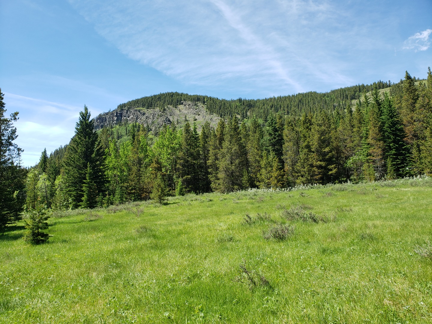
The Ridge above Bluerock Campground
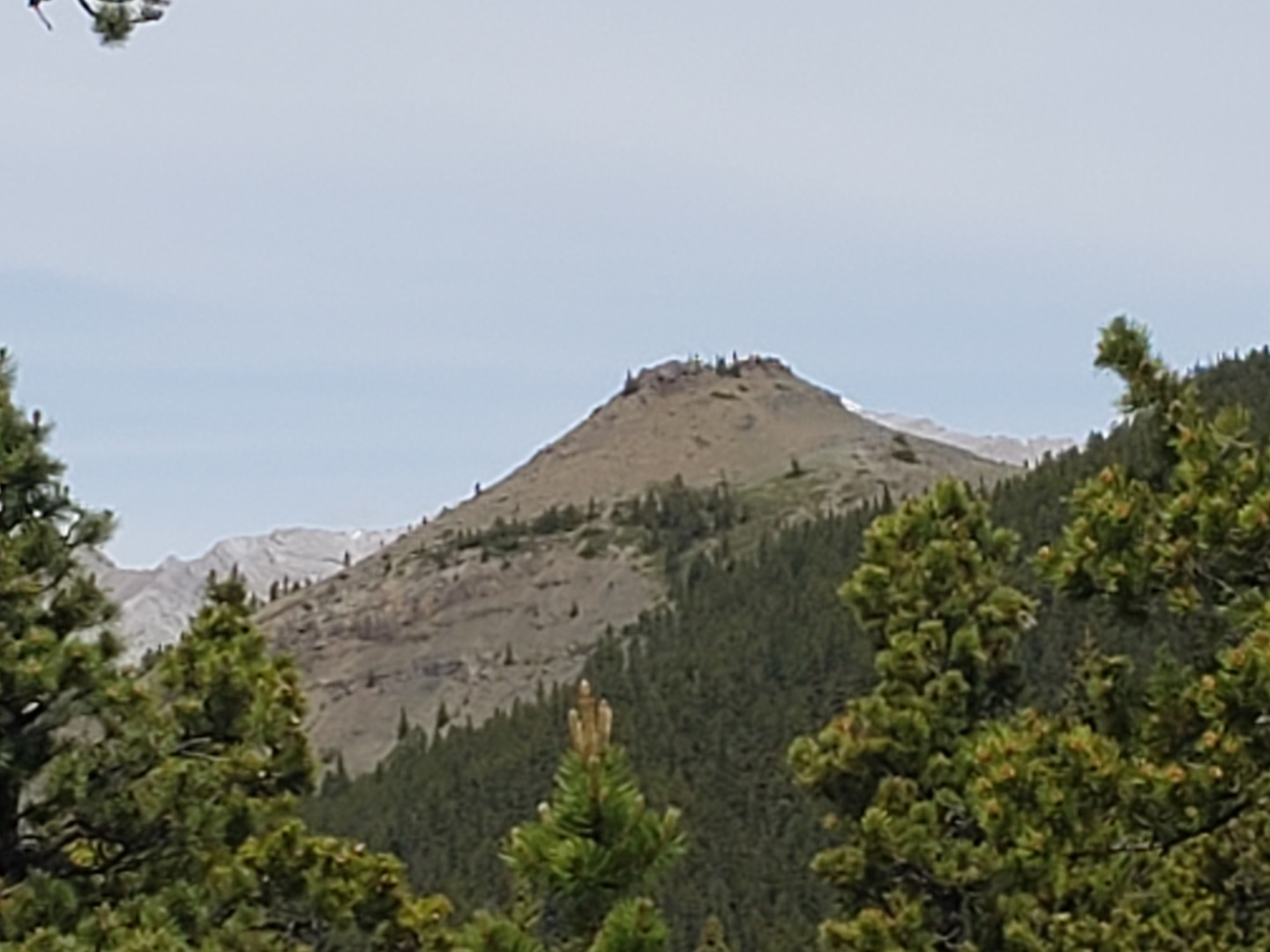
First view of the Knob on the Ridge above Bluerock Campground
We had quite the merry chase trying to follow a downloaded GPS track, which kept jumping around and took us lower and lower following good game trails which always ended soon, going nowhere. Eventually we decided we had to get back on top, and after quite a grunt, arrived at the base of the Knob.

Summit of the Knob on the Ridge above Bluerock Campground
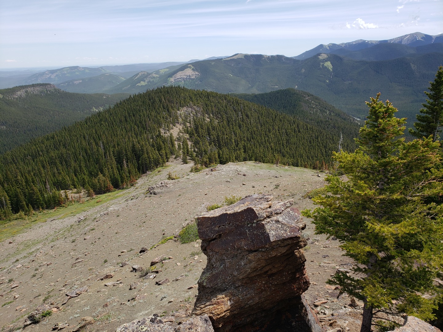
View back down the Ridge from the Knob
We enjoyed a long lunch with great views of Bluerock Mountain, Mount Ware, Surveyor's Ridge, Green Mountain, Mount Hoffmann, Junction Mountain and lookout, Shunga La She and the summit of last week's hike on Indian Oils Hills, including the trail through the green meadow and the rocky ridge. Likewise we could see the Bluerock Meadows route.
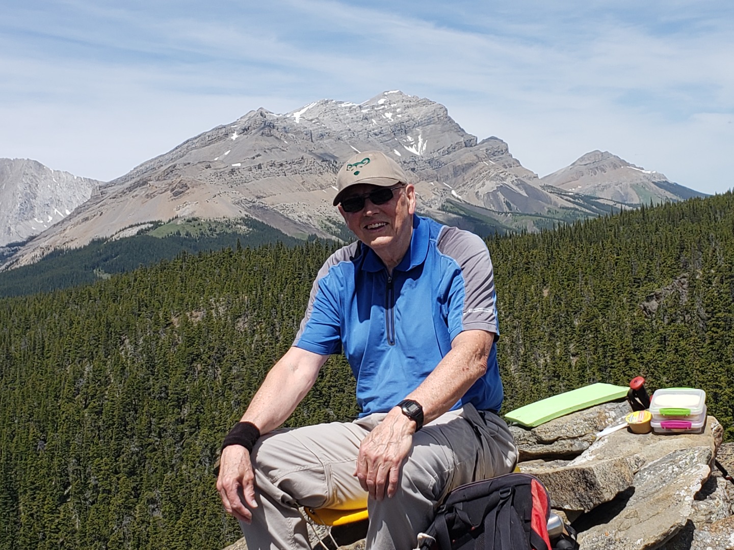
Joe on the Knob with Bluerock Mountain behind
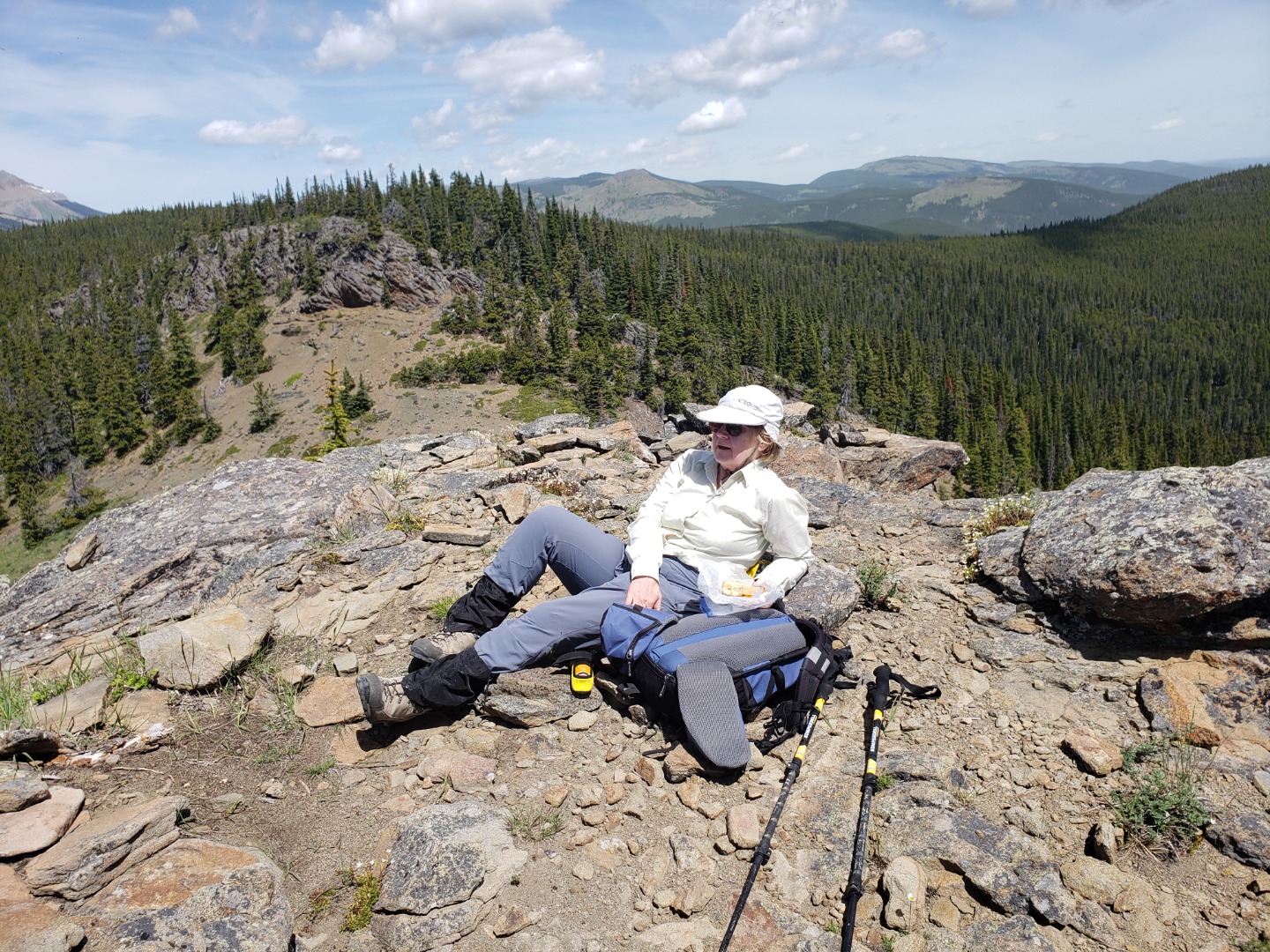
Carmie on the Knob with Mt. Ware behind
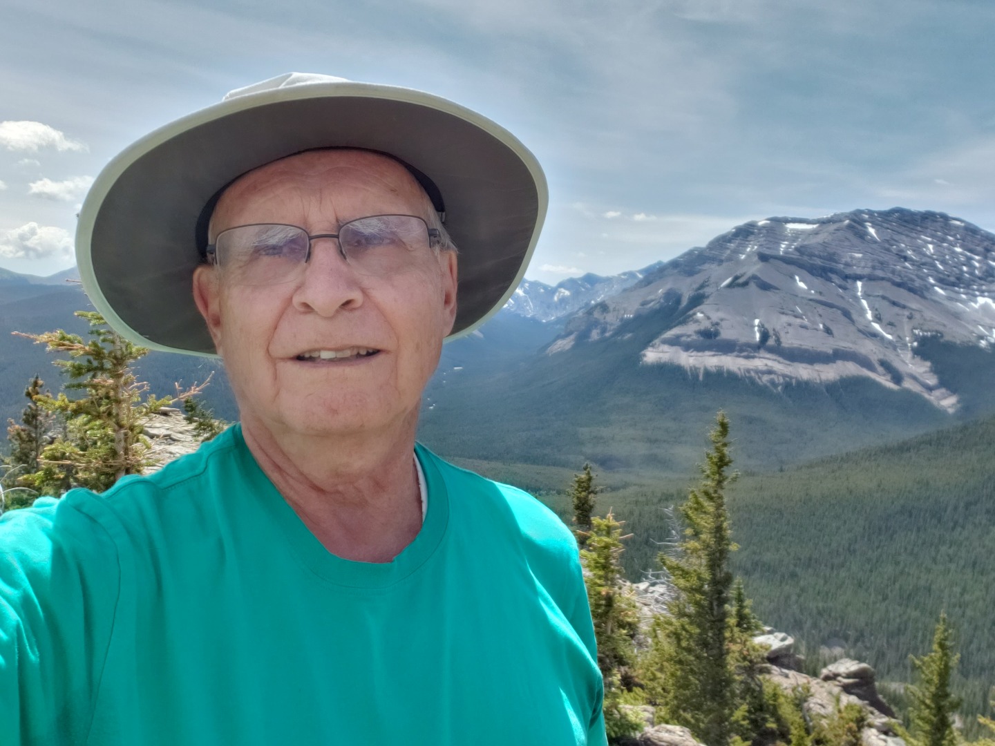
Carl on the Knob with Shunga La She behind
We came down a different way, hitting a lot of deadfall and an even steeper descent on ball bearings over hard pan. Joe compiled a GPS track showing our route compared with a 2012 trip by David.
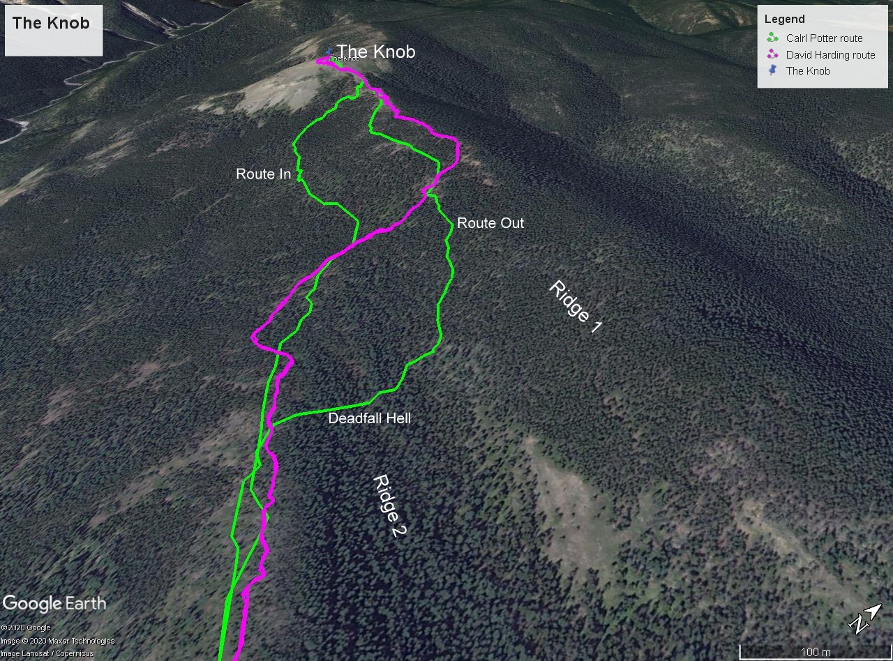
GPS track of our routes (green) and David 2012 route (purple)
We were back to the cars by 3:25.
Participants: Joe, Carmie and Carl, coordinator and scribe