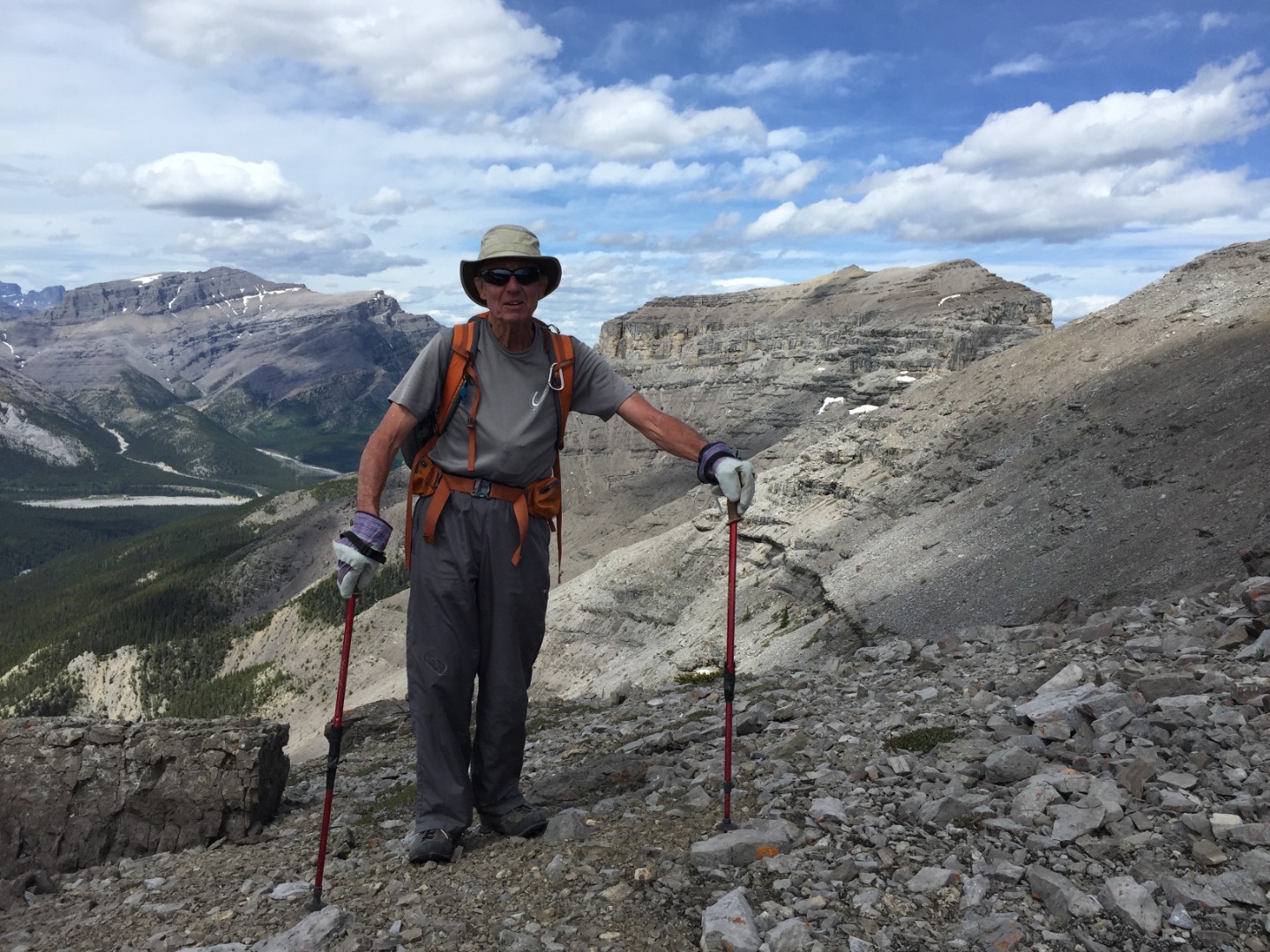
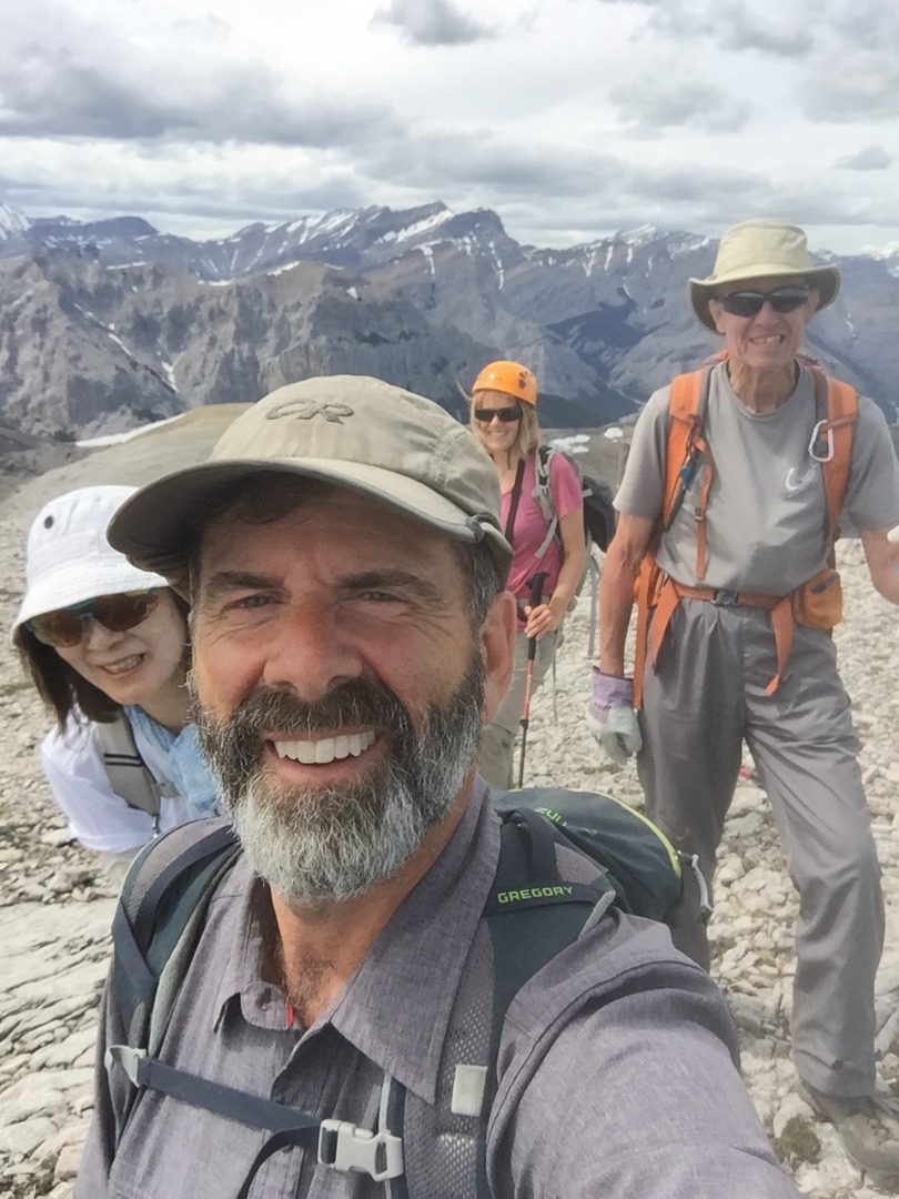
Full of promise, we left Yamnuska parking lot before 8 am and followed the standard route up to the shoulder, enjoying early morning sunshine and cheerful company.
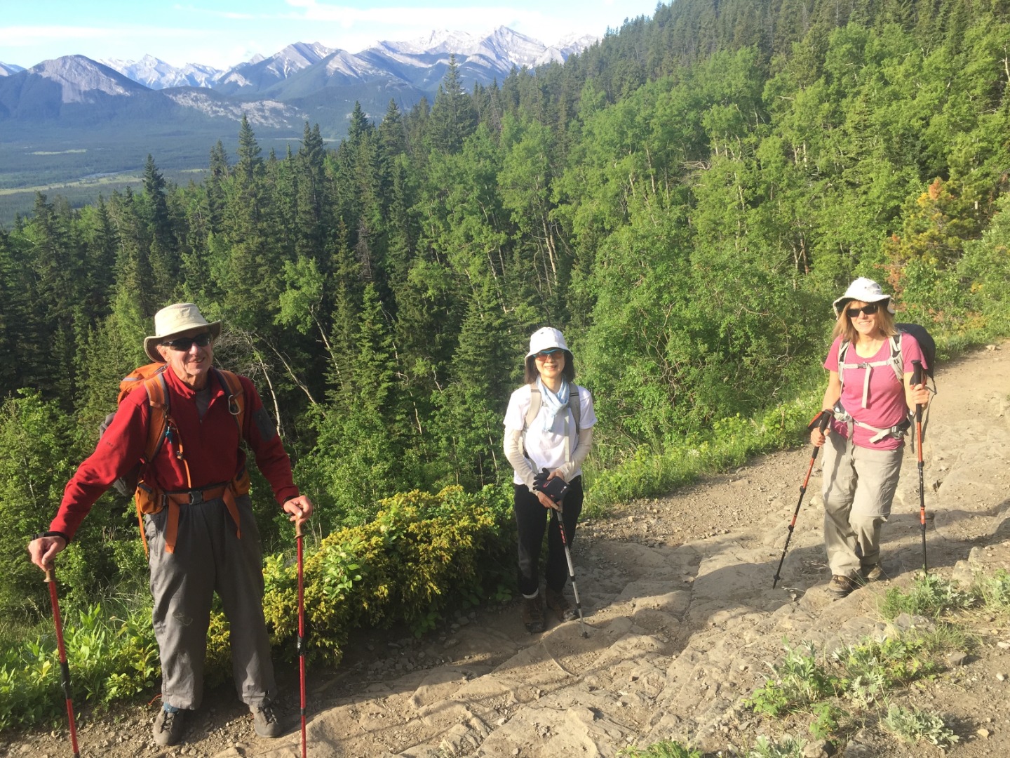
Starting out up Yamnuska ridge
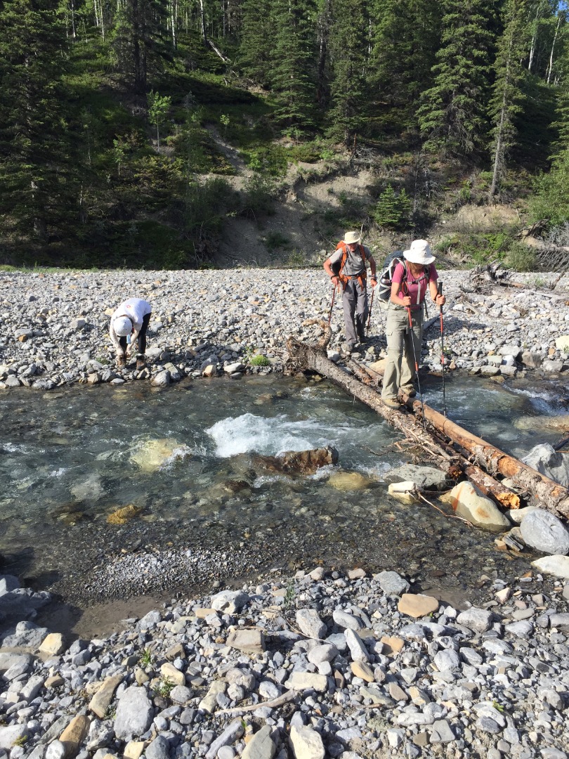
Instead of turning west towards Raven's End we followed the trail traversing east along the ridge to the fenceline demarcation with the Stoney reservation, then headed northward down the cutline. The correct trail down soon detours slightly to the west for a short while to avoid the most obnoxious section of deadfall and Alders (which we only learned after seeing that trail rejoin the cutline farther down). This section was a bit wet and muddy at times, but soon we were down at the creek and able to easily cross on a conveniently-placed wood plank.
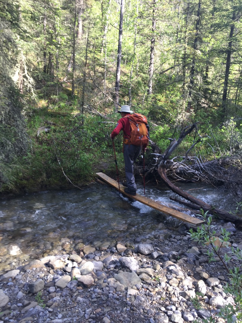
First creek crossing in CMC valley
The trail up Wendell's east shoulder is easy-angled, short, and pleasant. The high point is likely where a NE ascent of Wendell East Peak around or through the cliffbands could begin. As we headed down the north side, a first aid break was required for one member to treat a blister. As Association Peak came into view, we left the trail and bushwhacked just below a boggy section aiming NW to intersect Old Fort Creek closer to Association Peak's south drainage. At the bottom, the creek was too full and wide to rock hop across.
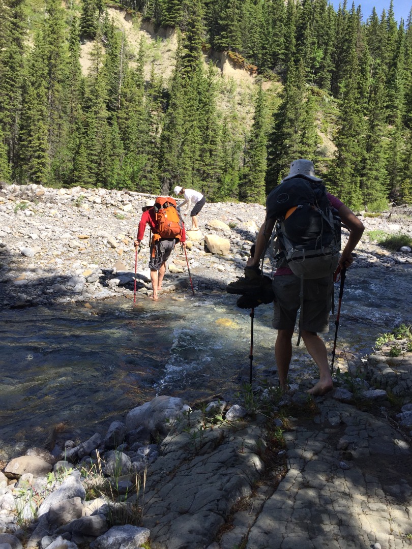
Second creek crossing in Old Fort valley
We followed Old Fort Creek's north bank upstream for less than half a kilometer to the side-stream emanating from the obvious drainage. Here we turned north and encountered various camping spots as we started upwards.

Evidence of camping spots
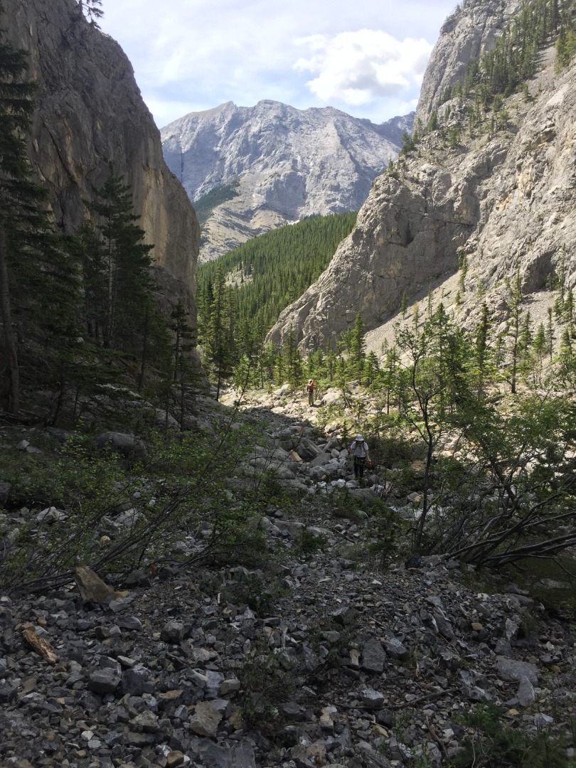
Overview of our route up Association Peak's south drainage
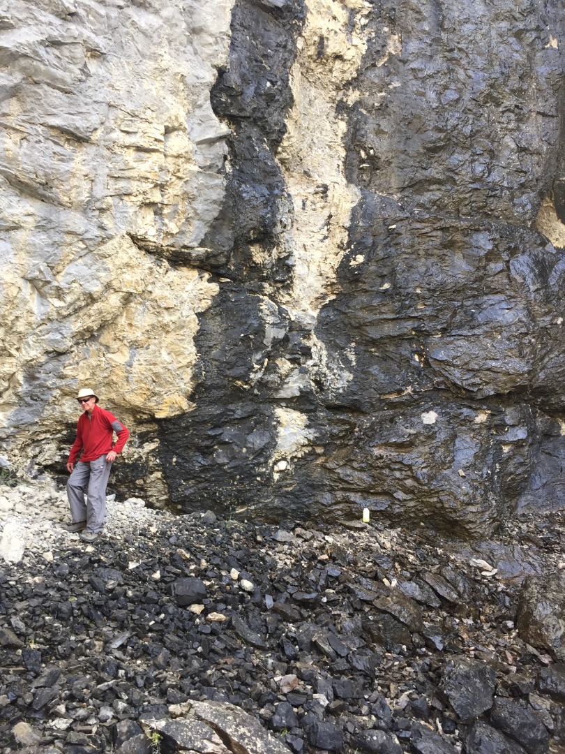
We crossed the creek often to avoid flood debris and steep side-hilling. Occasional faint game trail segments appeared now and then but nothing too obvious. We stopped for lunch at a shaded weeping wall - a good place to take a shower if camping in this valley.
Looking back at Wendell from our lunch spot
David filling up his water bottle while avoiding a shower
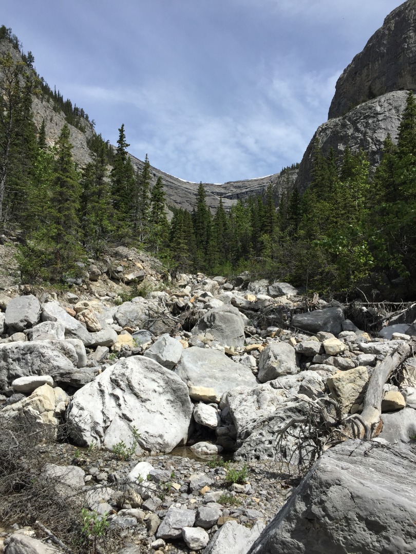
After our break, we resumed our trek up through ever-narrowing canyon walls that would be a worthy destination in itself.
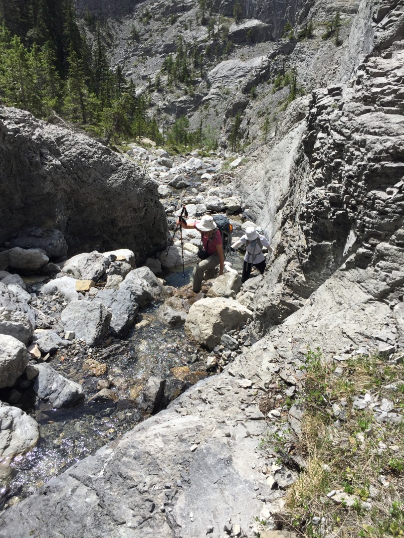
The canyon narrows
Our first major challenge was circumventing a waterfall with a chockstone, which we scrambled over to the left, taking various routes.
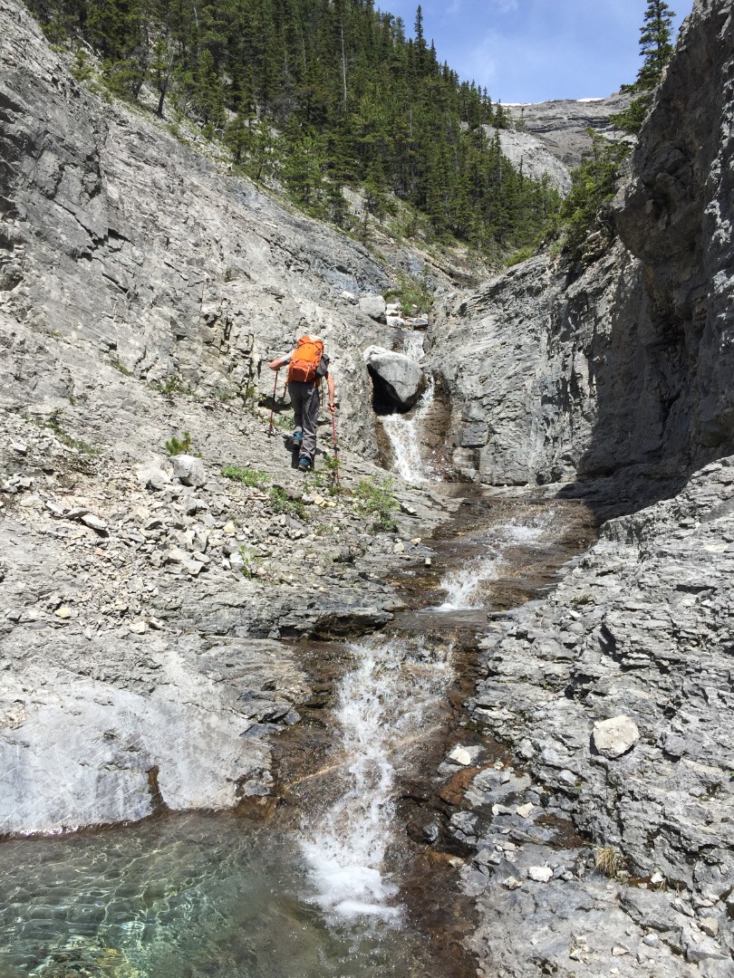
Approaching the first scramble section to get above chockstone
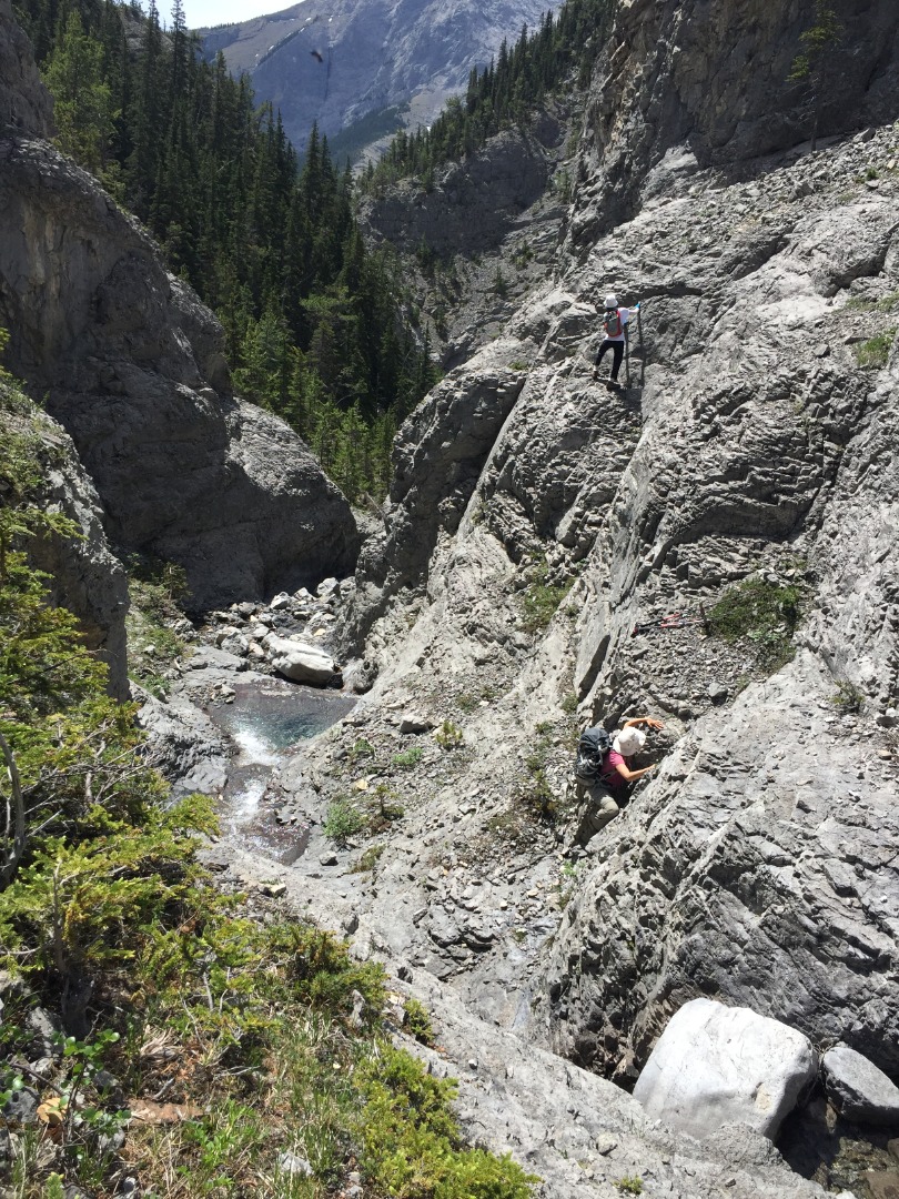
Scrambling begins
This place is really quite beautiful, but the largest waterfall higher up looked daunting. We decided not to be intimidated by it without getting our noses right up to it first. So, up we went and found that a couple of difficult moves would get us up the left-hand side of the waterfall.
The middle section with waterfall ascent immediately left
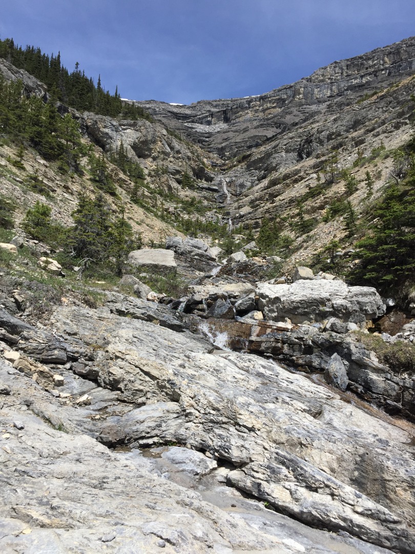
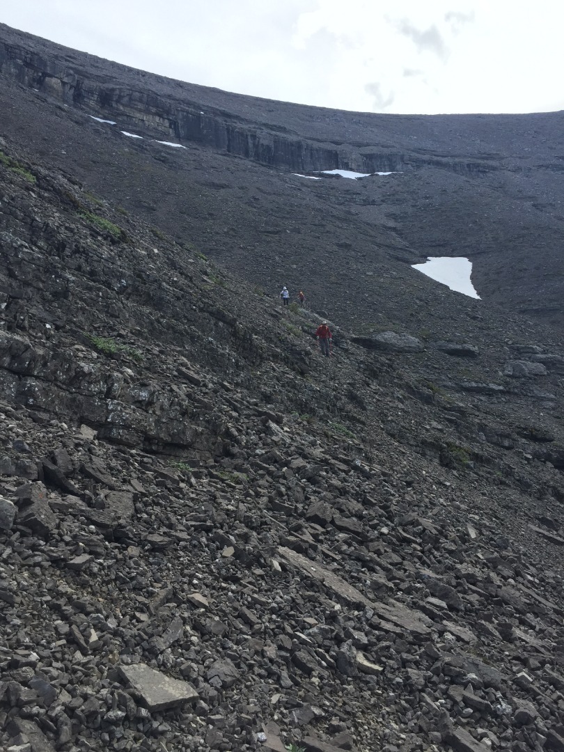
Above the highest waterfall is a more open but rubbly scree section to plod through. We chose to go straight up to the cliffband and traverse left just below it, to where there's an obvious break.
Upper section showing the route through the upper cliffband
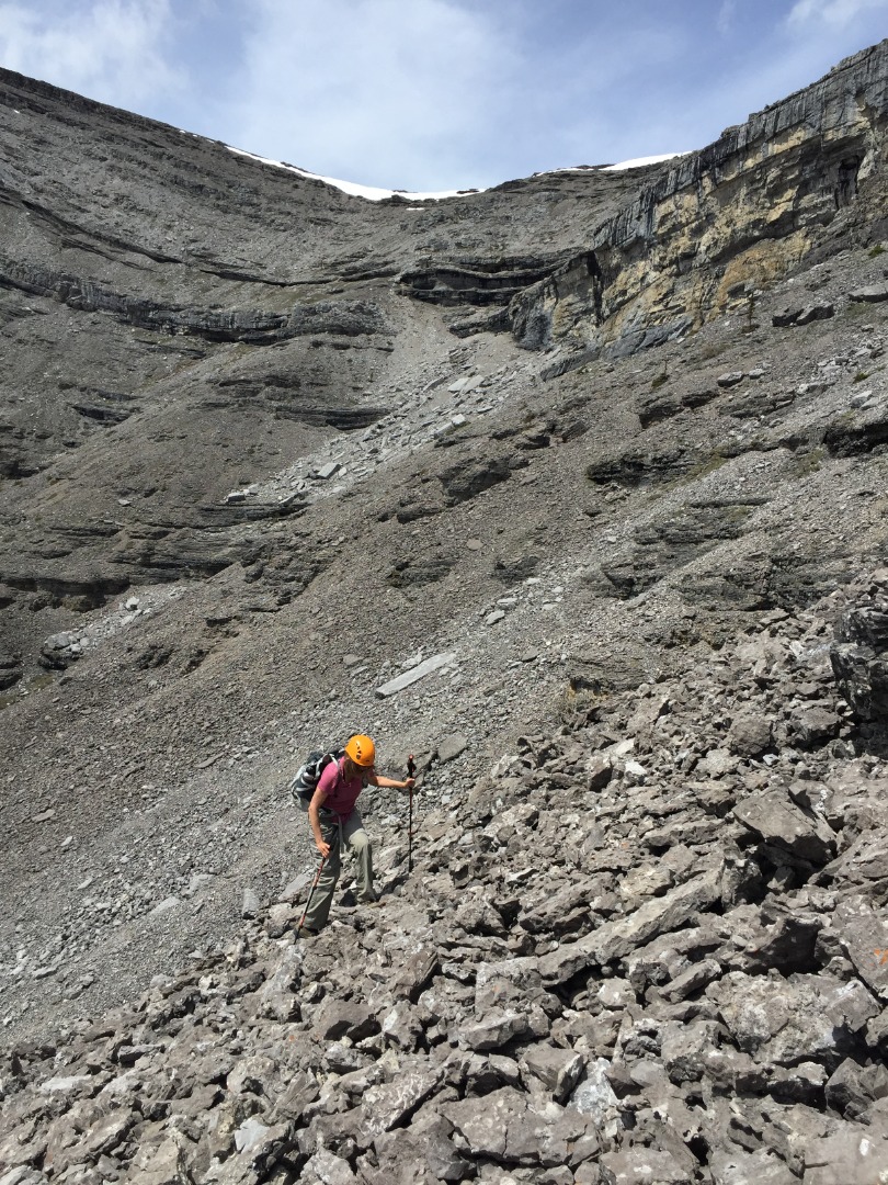
Resting below the upper cliffband
The ridge was only a short way off now and we arrived at it's lowest point.
David on the ridge with End Mountain behind middle right
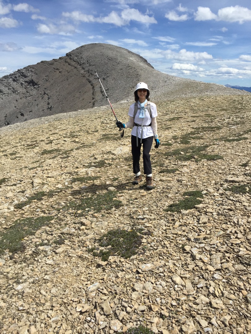
Toshiko on the ridge, pointing to the summit
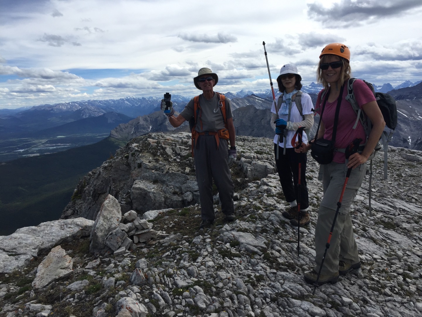
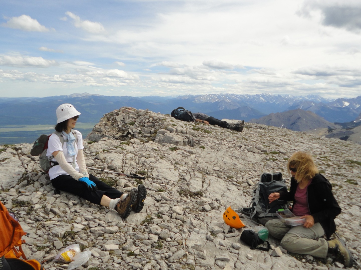
After 7 hours we were finally on the ridge top enjoying an easy walk to the summit.
Arriving at the summit
Rest in peace (photo courtesy David)
Summit group shot
After enjoying the great views and calm weather, we headed back along the ridge to where the cliffband on the north drainage is passable. The boulders were too large for a scree run and successive cliffbands were circumvented by traversing NE.
NE bowl descent through small cliffbands
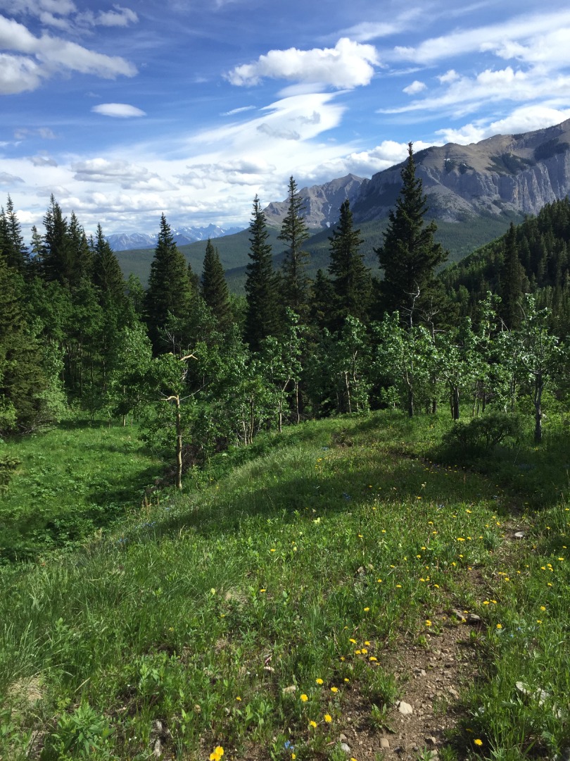
As we circled around Association's NE side, we made a beeline for a clearing, just to get out of the fatigueing rubble. From there it was a short bushwhack to reach the road that heads slightly upward to the saddle between Association Peak and Hill. Where the road suddenly ends on the south side of this saddle, we followed the hiking trail down through lovely meadows.
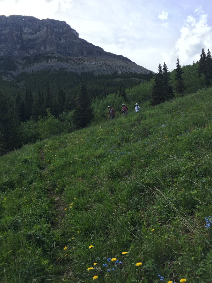
Beautiful meadows on the descent trail
Yamnuska and End Mountains from meadows below Association Peak
We filled up water bottles in a side creek just before crossing Old Fort Creek.
Old Fort Creek crossing at usual spot
Summoning all our will, we headed up Wendell's east shoulder, down to the creek in CMC valley, back up to Yamnuska's shoulder, and down to the cars, arriving there just before 9 pm. Our 13 hour adventure entailed 1,750 m total elevation over 27 km.
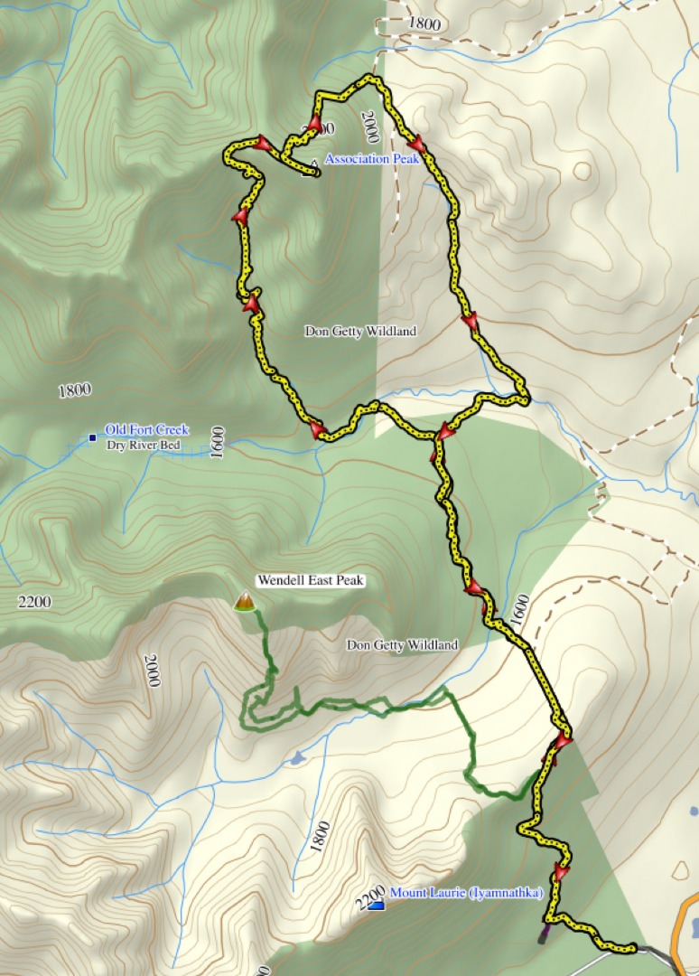
Our route
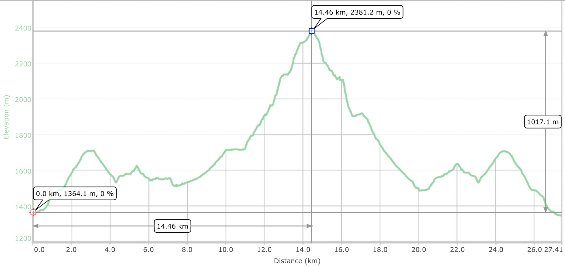
Elevation plot
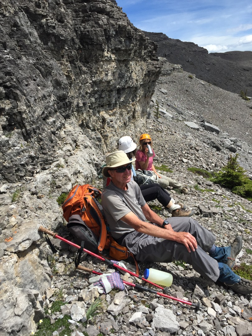
Trip participants demonstrated fortitude, despite the exhaustion. My special thanks to: David, Toshiko, and "Ulli", for making this such a memorable trip.
Brian, Coordinator.