Bull Creek Hills 732888 loop via Marston Creek Off-Trail hike on 27-M
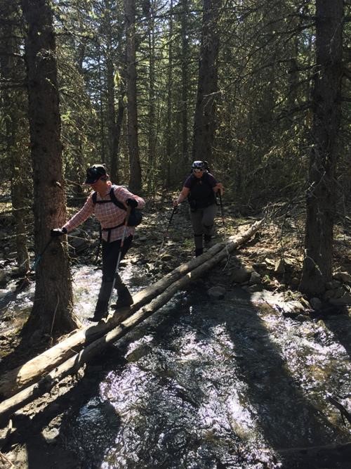
6 of 10 Ramblers stashed our bikes near Grass Pass trailhead then joined the other 4 back at the Kananaskis Country entrance sign to begin our ascent on well-defined trail. Crocuses, Shooting Stars, and Three-flowered Avens were plentiful as we meandered up to the first ridge top before descending the snow-free backside to Marston Creek.
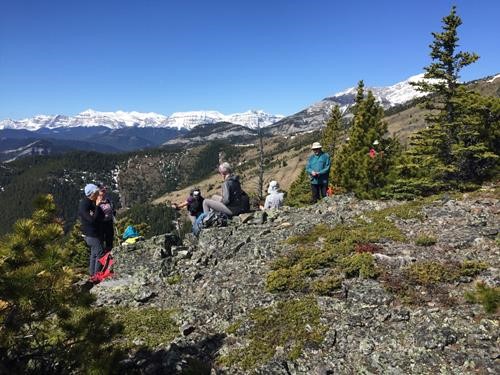
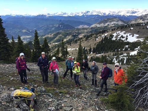
We took occasional breaks to get the group back together and enjoy the ever-expanding views under bright sunny skies.
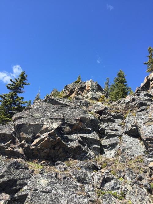
From the eastern hill, we could see patches of lingering snow on the north lee side but were able to avoid most of the snow as we continued our westward trek. Some were drawn to the occasional rocky outcroppings along the way.
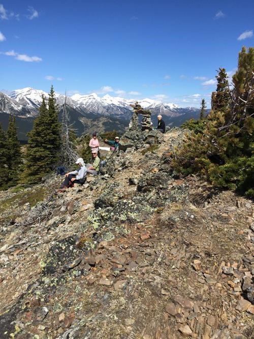
Enjoyed our relaxing lunch break at the uniquely cairned summit.
The lower bumps to the west of the highest hill had the most snow, but nothing too arduous or long. Perhaps the trickiest part of the whole trip was negotiating all the meltwater on the wide trail leading down to the highway. Most biked the 3 km along the highway back to our cars. 6 hours, 14.8 km, 937 m combined.
Many thanks to those who made it such an enjoyable day: Arnold,Alda,Carl,Shirley,Alicja,Janice,Inge,John, and Jo.
Brian, trip coordinator.
