It was a great day with awesome group of people. On the way to the trailhead we saw one deer and a couple of cows beside the road. We arrived at Little Elbow Recreation Area parking lot shortly before 9:00 am, where we met with Bill, Aldis and Cornelis. The temperature at the parking lot was about 11℃, with cloudy skies. We decided to use the bridge to get over Elbow River, since nobody was willing to cross the river with cold water in the morning. There was little or no water past the bridge. After a few short stops we arrived on the ridge.
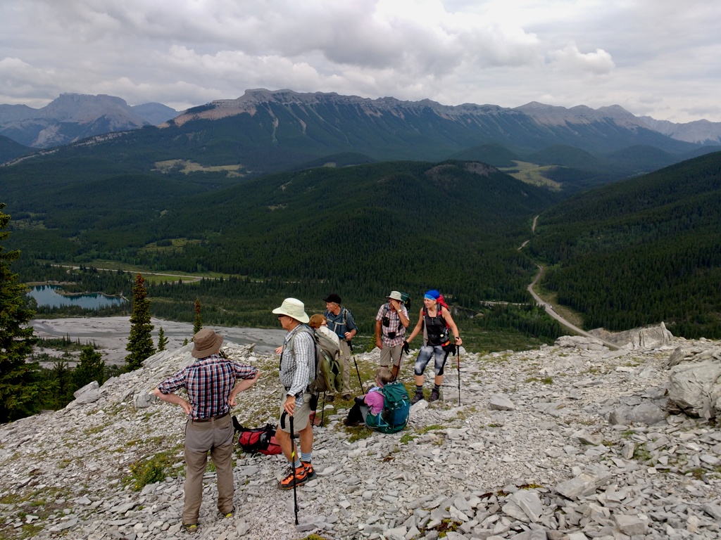
First stop to admire the views.
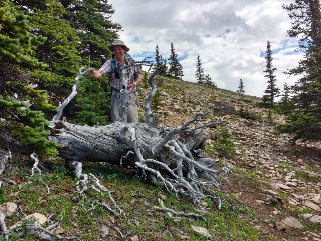
Short stop at the first lucky tree.
On the way to the ridge we passed a couple of people, and for the rest of the day we had the ridge to ourselves. The ridge still had many flowers, mostly fireweed. We have seen tall blue delphiniums, umbrella plants, moss gentian (not seen very often) and more. We could hear marmots, but Bill and Aldis were lucky to see one.
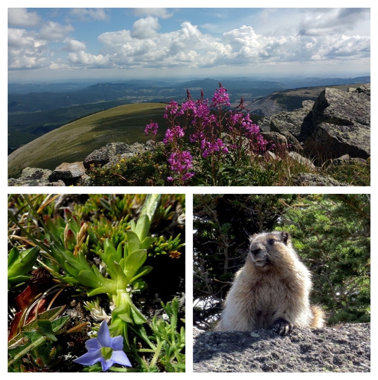
View from south end of Forgetmenot Ridge, moss gentian, and marmot.
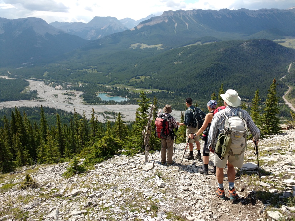
We arrived at the south end of Forgetmenot Ridge at about 12:25 am, just to be greeted with sunny skies and wonderful views. We stopped for lunch and after about an hour of relaxing we were on the way back. There was little or no wind with very pleasant 20 degrees temperature.
Walking towards south end of the ridge.
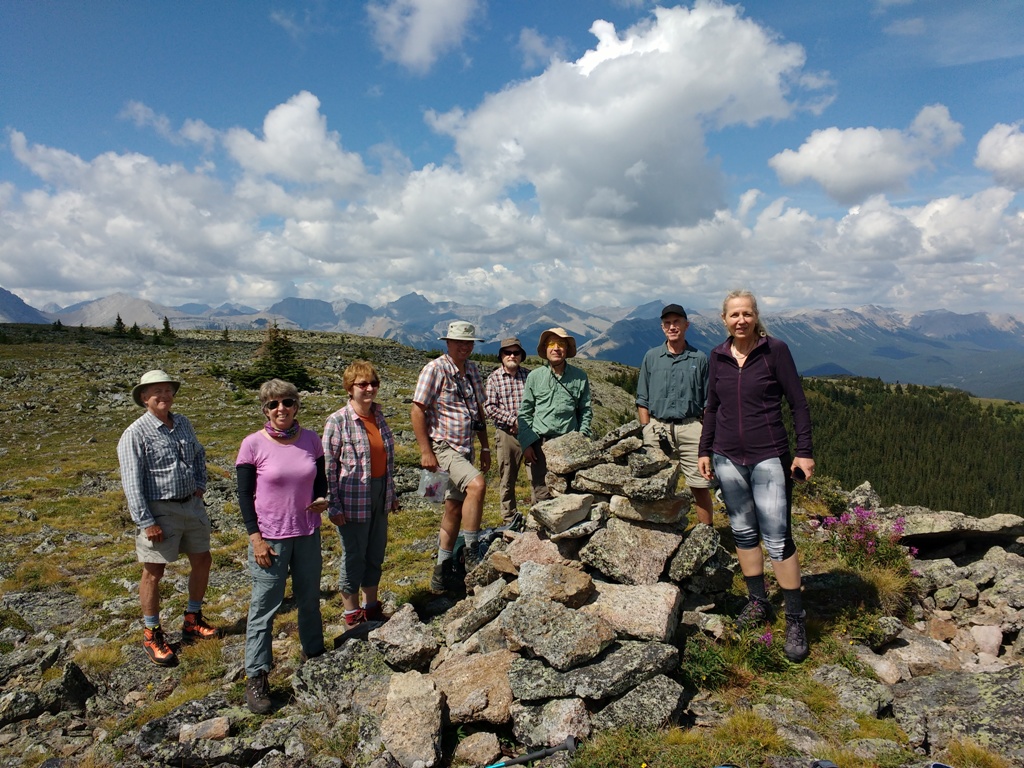
Ramblers on Forgetmenot Ridge.
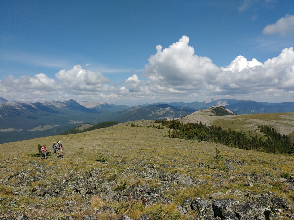
Instead of coming back the same way, some of us continued walking to the north ridge.
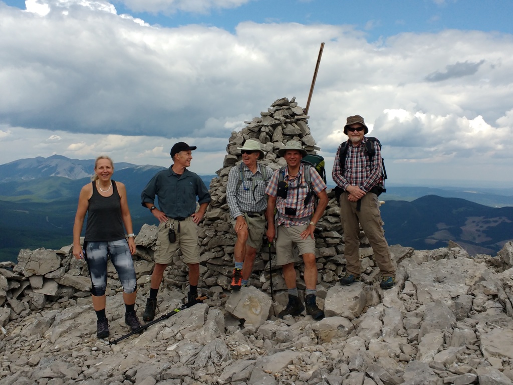
Group at the north end of Forgetmenot Ridge.
Cornelis putting the rock on the second lucky tree.
It was a bit too hot coming down the steep ridge. Two of us crossed the bridge on the way back, but the rest of the group decided to cross Elbow River to take the shortcut to the parking lot. As we came closer to the river the dark clouds moved in. We made the crossing safely only to be soaked by the short-lived rain shower.
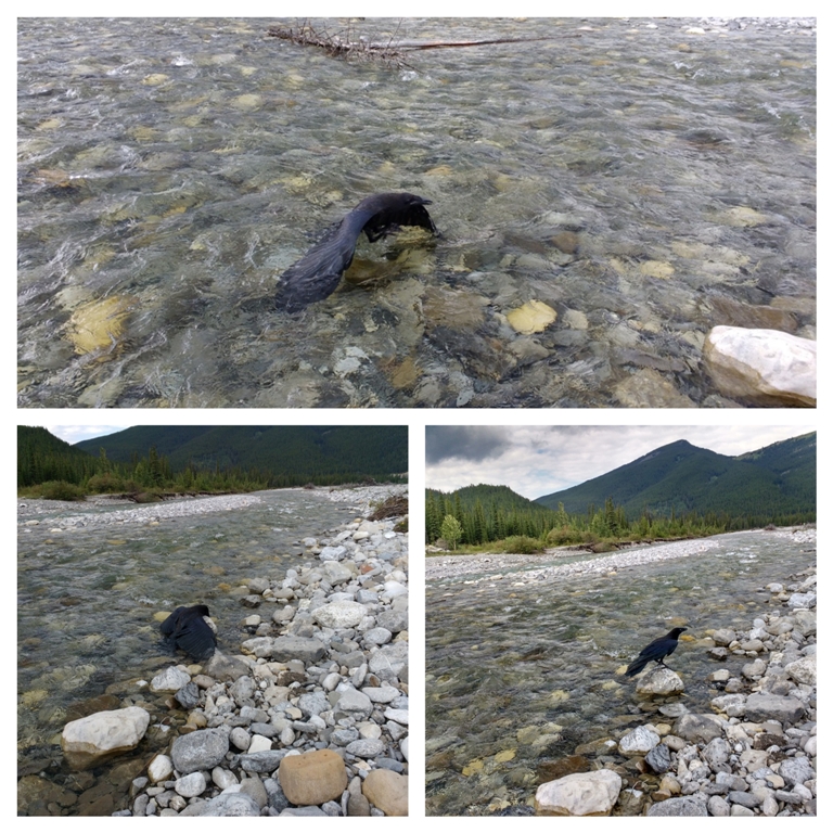
Crow bathing in the river and making it safely to the shore.
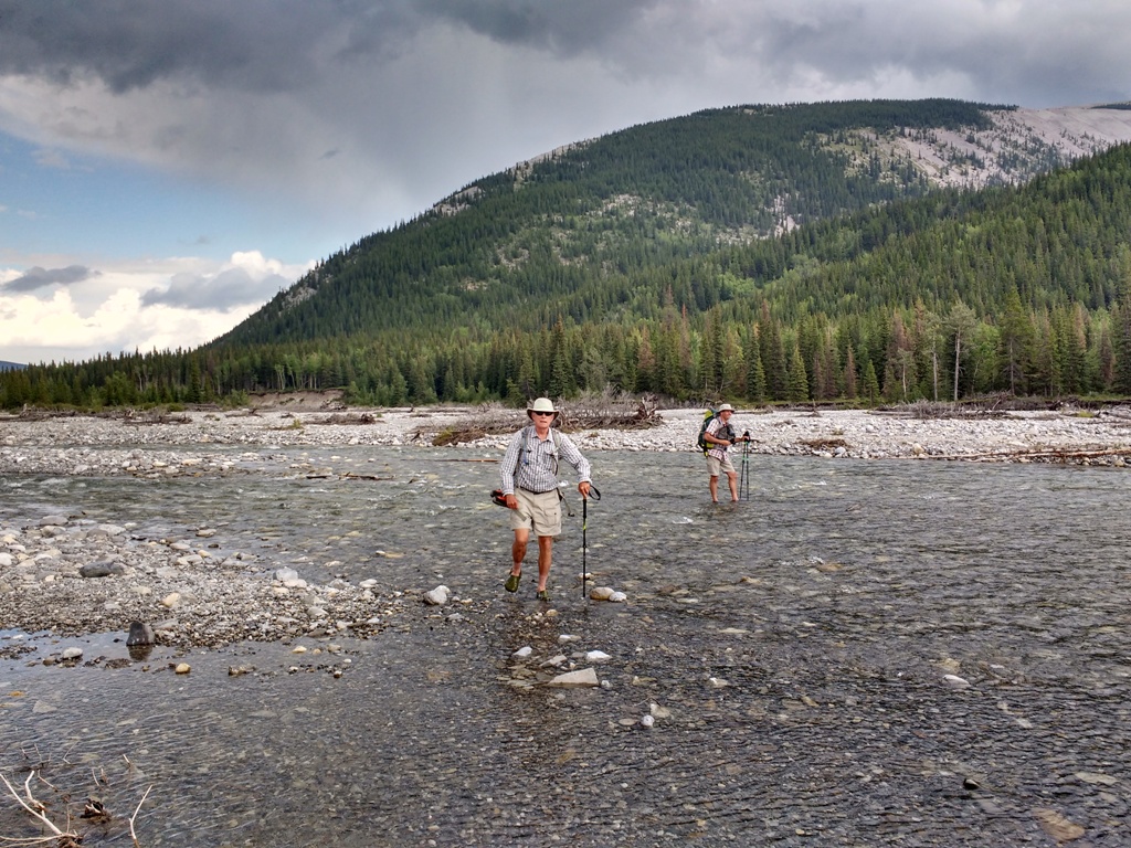
Philip and Cornelis crossing Elbow River.
We were back at the cars about 4:25 pm and in Calgary about 5:30 pm. According to Cornelis’ GPS we made approximately 16.5 km with combined elevation of about 890 m. Big thanks to Cornelis for the satellite picture, and statistics of the trip and Bill for the picture of the moss gentian and the marmot.
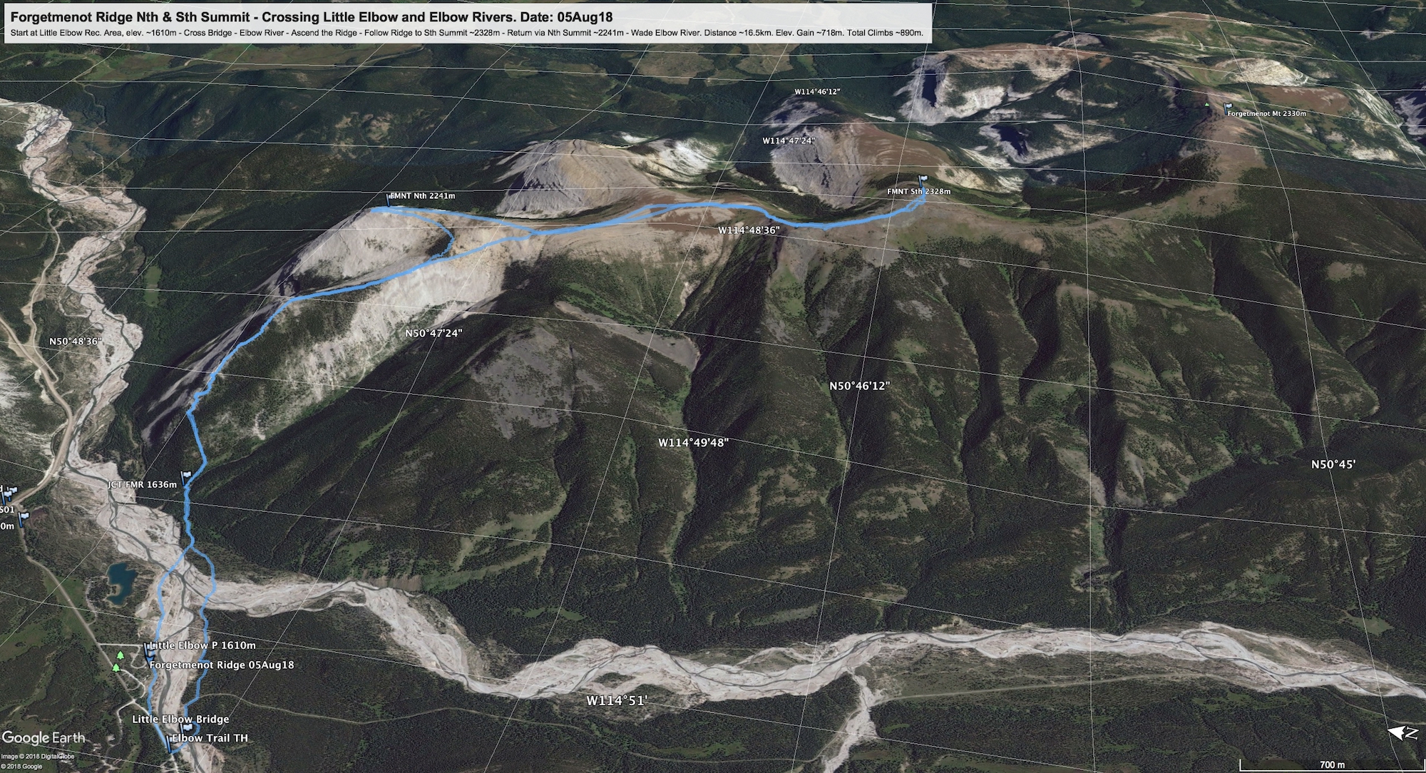
Satellite image of our trip.
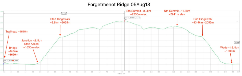
Statistics of the trip provided by Cornelis.
Thank you for joining me and for providing a delightful company: Barb, Cristina, Philip, Aldis, Bill, Cornelis, Bruce, and Mohsen, scribe Teresa