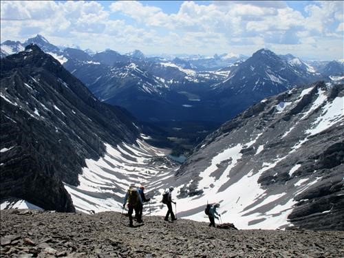
The Fortress via Headwall Lakes Scramble on 20-Jun-2018
It was a 10 out of 10 day to do the Fortress Mountain trip. After parking at the Burstall Pass parking lot (Chester lot and trail closed due to bear), we headed along the ski trail on the right side of the Chester parking lot. After a little over 3 km on the ski trail we crossed the new headwall creek bridge and turned left at the top of the next small hill on to the Headwall Creek trail.
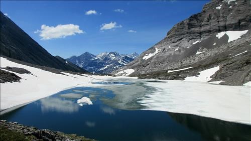
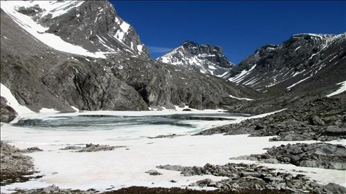
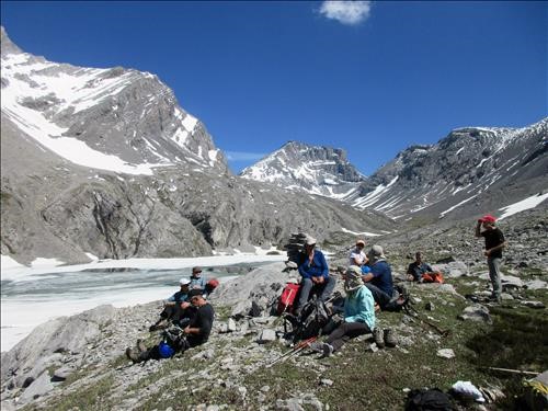
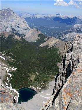
Lower Headwall Lake still was above one quarter covered with ice. At Upper Headwall Lake the group stopped for a rest and water break.
Upper Headwall Lake was about 90% ice covered. After the break we headed up to the end of the valley and began the ascent to the Chester Fortress col.
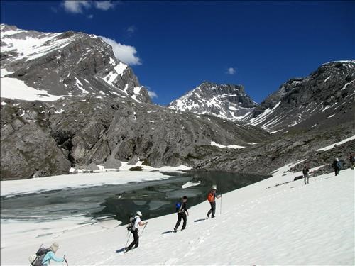
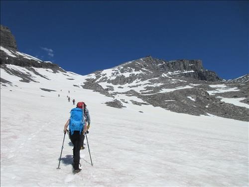
There is still significant snow leading up to the col. The snow was firm though and provided good and easy footing for the ascent to the col.
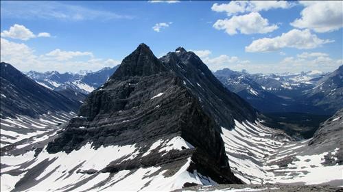
The slope above the col was almost void of snow and the normal scree trail was followed to the summit block, which also was void of any snow. The coordinator and one other trip participant ran out of gas at the Fortress col and took a lot longer than expected to make their way up the final slope to the summit.
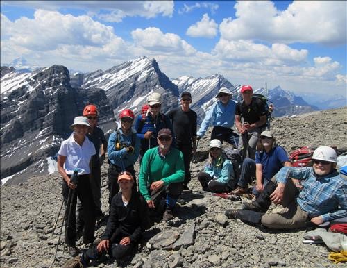
This meant the rest of the group got to enjoy an extra long lunch break and take in the superb summit blue sky views. It was so warm at the summit, that the group didn't even have to put an extra layer on.
We retraced our steps back down to the col and into the Headwall Valley, stopping for a final rest break and to enjoy the scenary at Upper Headwall Lake. The rest of the trip back to the Chester parking lot was uneventful.
Thanks to the group John, Gary, Jack, Nardi, new member Dana, Greg, Sim, Bruce, Bill, Arnold, and Evan for their great company and patience with the slow pokes and for joining me Kevin (S/C) on an awesome day in the mountains.
Net elevation gain 1210 m
Total distance 21 km
