We didn't see any wild mustangs, only piles of their droppings, but we enjoyed a successful hike to the Mustang Hills on a summery warm day. The day was most interesting, with several changes of scenery and terrain. The Elbow Falls parking area was crawling with people (during the day the parked cars on the highway reached all the way up the hill to the east), but we didn't see another soul on our whole day, except for a family enjoying the campground. We started on the Beaver Flat trail and campground, before taking a rather precipitous trail along the river southward.
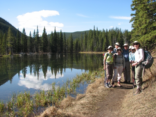
Starting out by the Beaver Dams
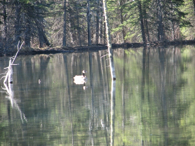
Goose on the beaver pond
The route through the canyon was rougher than remembered, with some obvious 2013 flood damage. With a choice between tangled deadfall and serious talus rubble, this trail should be upgraded to TL4.
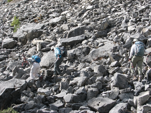
Rough travel over talus in Elbow River canyon (TL4 territoy)
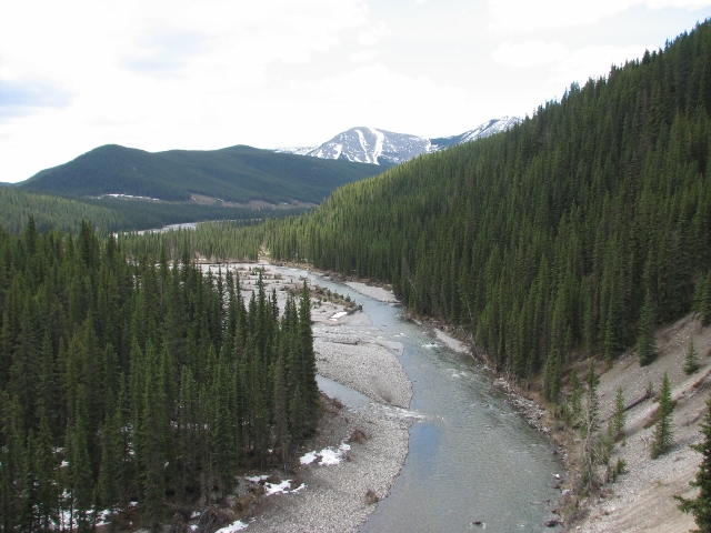
Elbow River between the falls and Cobble Flats
The next section was the braided trails of the flats south of the canyon, where we would have missed the critical junction for the trail to the east hill, if not for Brian's GPS with downloaded map. We had lunch with great mountain views on the rocky dry river flat, before backtracking to find the junction we had passed.
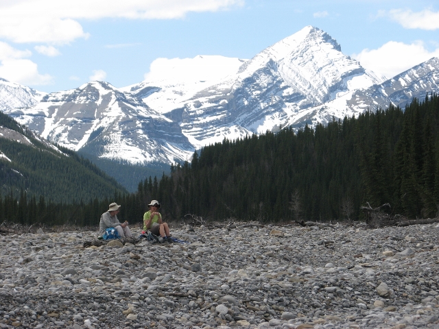
Lunch with a view of Mounts Glasgow and Cornwall
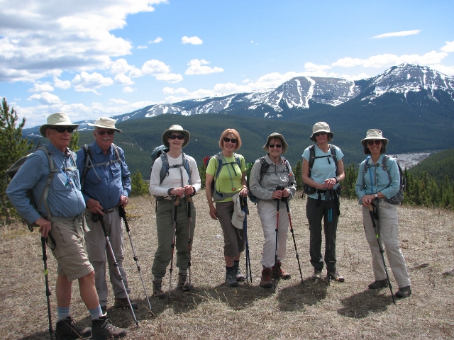
Summit group on Mustang Hills centre hill
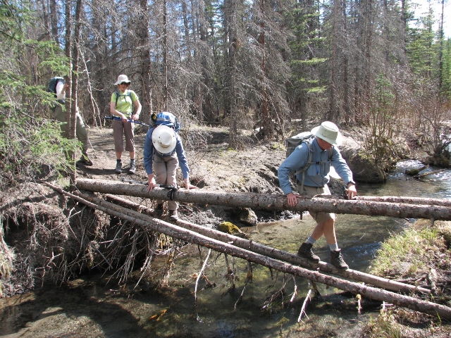
There were various ways of crossing creeks
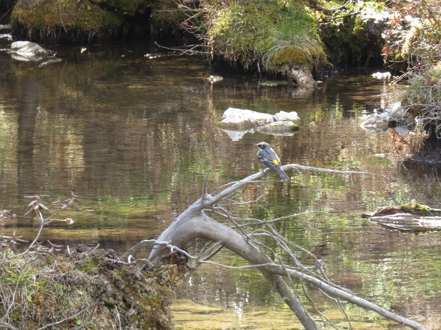
Yellow rumped warbler
There are no flowers that high in the foothills yet, but flora included a grouse, bumblebee and some large mosquitoes. There were still some icy and slushy sections in the tread of the trails in places, and a few areas of moderate post holing through slush, but the terrain was generally dry.
We were back to the cars by 5. Participants: Ginger, Barb, Philip, Rosanne, Susan, Anne, Brian, and Carl, coordinator and scribe.