Silverhorn mountain (2911 m) Mountaineering on 24-Sep-2015
I had done the peak from Silverhorn Pass in the 70's, when I lead a Ramblers backpack over Dolomite Pass to Isabella Lake, then up over Silverhorn Pass. Not having done it from the highway, it seemed like a good objective with the current snow conditions.
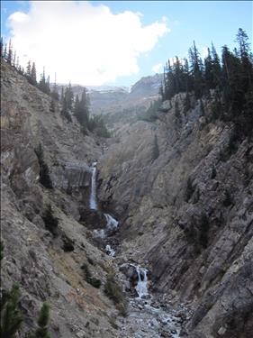
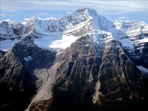
The creek to the NW seemed to be an easy approach. The highway in this area has narrow shoulders that drop off significantly, but one can pull right off the road a bit to the south. We did some easy bushwhacking from there over to the creek, then followed up the north side of the creek past a hidden waterfall.
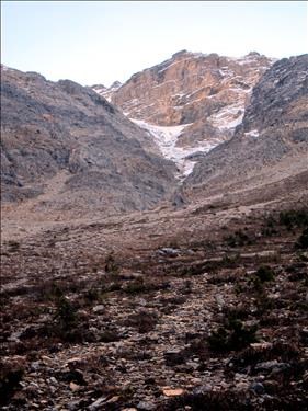
We could then see that we could follow a couloir to the summit.
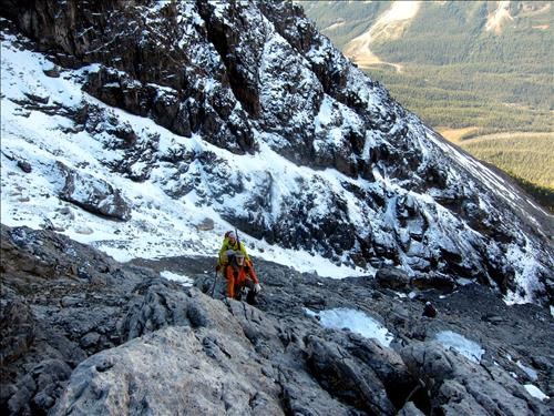
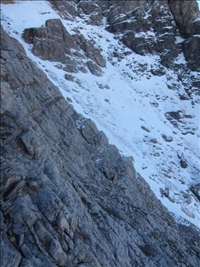
However, when we got there we found that scrambling in the cliff-bands on the north side of the couloir was on good rock and was quite enjoyable. Views of the couloir looked like it may have been icy and unpleasant.
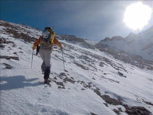
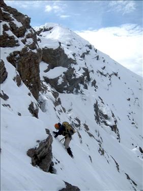
Once above the cliff-bands, we started to run into snow. Just in time: it provided good footholds in the otherwise loose rocks. The snow took us to the ridge.
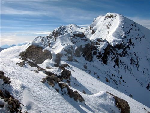
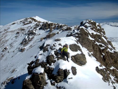
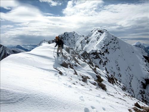
The ridge provided somewhat challenging climbing through mixed snow and rock.
The summit register was placed by Rick Collier in 1996. While three made it up in July of this year, the previous entry was 2006 - clearly an infrequently climbed peak.
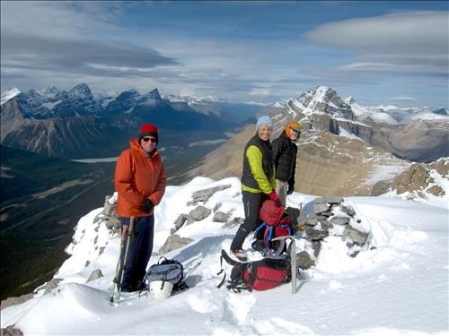
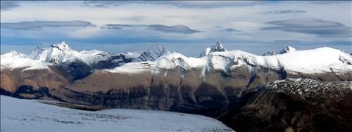
Great views from the summit. To the west, Patterson stood out.
The surprisingly high peaks north of Willingdon were clear.
The trip down was fairly fast, the snow being a pleasant alternative to the rock.
The trip took 7.5 hr with a distance of 10 km return and 1200 m. of elevation gain. With current snow conditions it would be rated MN7, when dry it would be SC6.
Thanks to Alda, Manfred, and Arnold for joining me on this trip.
Bill.
