OXO peak Scramble on 20-Sep-2013
I have frequently looked at this peak, wondering whether a scramble route would work. Earlier in the week, I intended to post this peak as a Ramblers trip but with the snow that fell on Wednesday, I posted Silverhorn (NW of Observation) instead. However, on the drive up the conversation turned to this peak, we noted that most of the snow had melted, someone suggested that maybe we should revert to OXO, and next thing we knew we were hiking up Mosquito Creek.
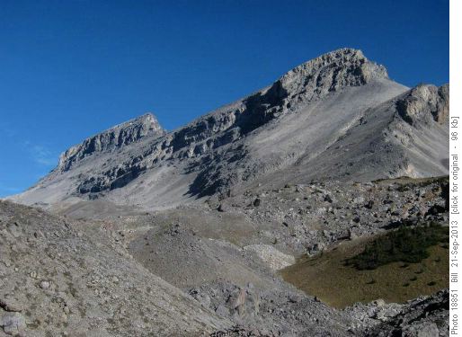
Ben Gadd in his excellent book "Geology Road Tours" (page 293) describes how the peak is composed of Eldon limestone sitting on Stephen shale. Past slippages have resulted in the rock heaps in the valley. He even suggests that "The whole summit block may be next!". This added a bit of urgency to getting the climb done.
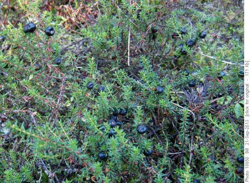
Along the Mosquito Creek trail, the crowberries were thick. Very juicy although rather thin tasting.
We left the trail early , heading for the shoulder that leads into the valley south of OXO. Relatively open forest and reasonable, if rocky, footing put us at the pass in 3 hours.
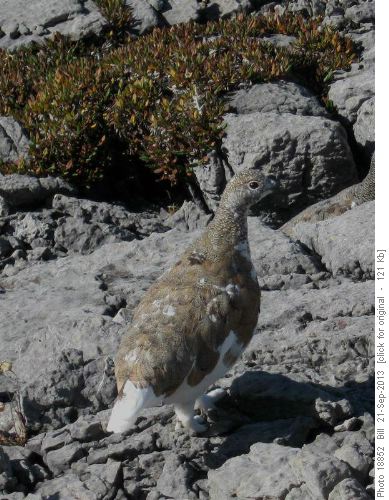
Greg spotted a group of ptarmigan just beyond the pass that were working on their fall color change.
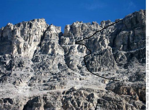
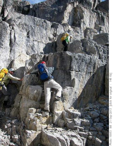
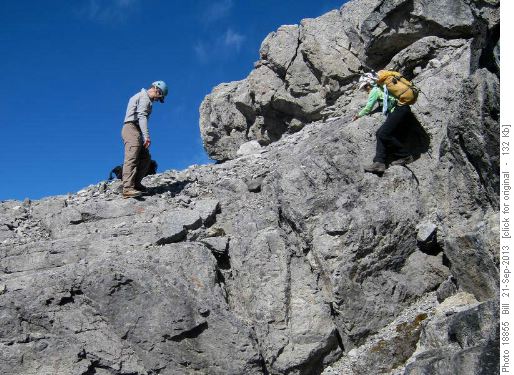
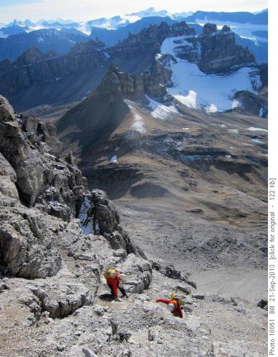
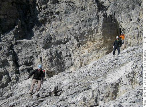
The route up follows scree and ledges to a scree apron. A gully with a chockstone leads to a series of higher ledges that angle up to the summit block. A 5 minute walk through broken rock leads to the summit.
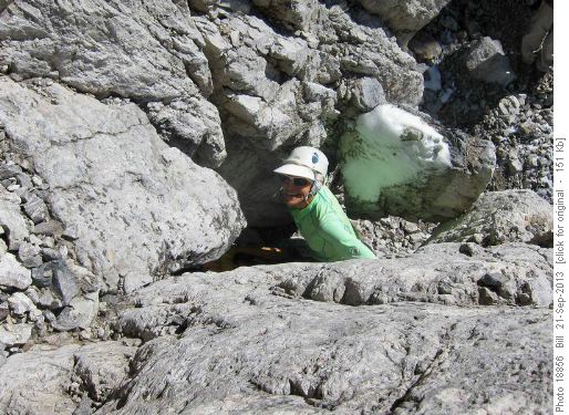
The chockstone was fun. We had to crawl under it, drag our pack through, climb onto the chockstone and exit on the adjacent ridge.
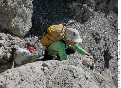
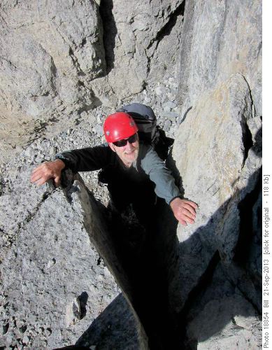
Higher up we found that some of the rock presents very nice holds.
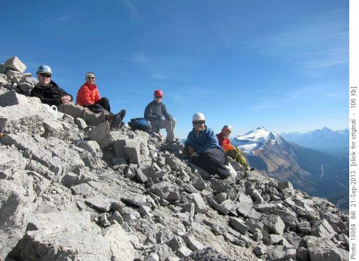
At the summit, we found a cairn complete with register. The first ascent was by Georgia Engelhard and Eaton "Tony" Cromwell in 1941. Peakfinder relates that Earnest Fuez once said of her "Dat Chorcha, she vants to do too much." The second ascent was not until 1999 and the third ascent was done in 2008 by Rambler James and a partner. As another fellow had done the peak this summer, ours was the fifth ascent.
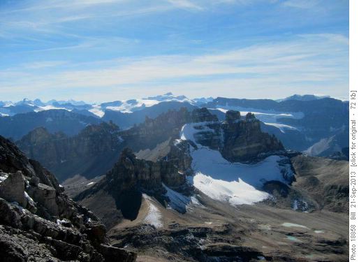
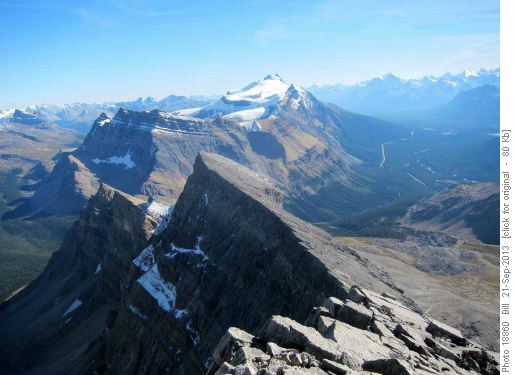
The views from the summit were spectacular.
The route is somewhat convoluted and route finding is important to finding ones way back down. There is much rubble on the ledges and in the gullies. We found we had to move together and synchronize our movements to avoid sending rockfall down on each other.
Many thanks to Arnold, Alda, Greg and brother Doug for joining me on this climb. Total distance was 21 km with an elevation gain of 1350 m. Our times were 3 hr to the pass, 3 hr up, 0.5 hr at the summit and 4 hr out, for a total of 10.5 hr. SC7. Bill coordinator.
