Mt Schlee Scramble on 16-Jul-2011
Mt Schlee's location is described in "The Rocky Mountains of Canada South" by Boles, Kruszyna and Putman. The summit elevation is 2850 m.
I coordinated a trip in 2008 to attempt the peak from the west. We made it a good way to the summit, but turned back when the scrambling got rather exposed. Saturday's trip is a result of a trip to Piper Pass, when I noted that an eastern approach might work out well.
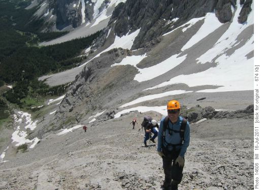
The approach is along the Piper Pass trail to treeline, a distance of 9.1 km. From there we descended a short distance to Piper Creek and ascended west past a small waterfall to a minor ridge that leads to the summit. The route involved much scree, although a good deal of it could be avoided by choosing a path along slabs and outcrops.
A few steps through a final snow slope lead us to the summit, complete with cairn and register. This peak is infrequently climbed, the last two ascents being a solo from the west by one of our members, Yves in 2003, and another party in 2007.
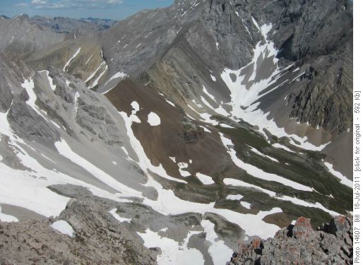
Piper Pass was visible below us.
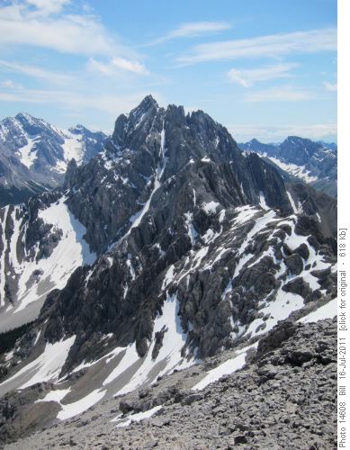
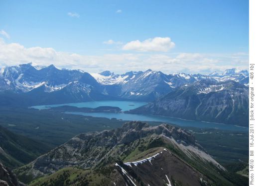
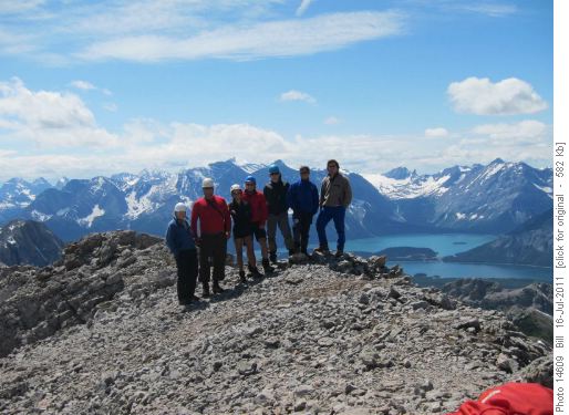
The summit panorama was great - a good deal of time was spent taking photos and discussing the adjacent peaks.
The summit team.
Here is Adrian's summit video.
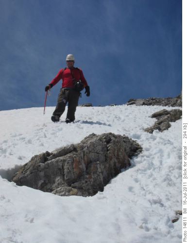
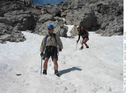
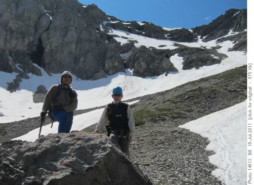
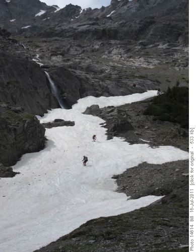
On the route down, we took snow gullies wherever possible - much easier, faster, and fun than descending loose scree!
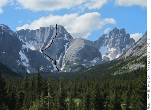
Back on the Elbow River road, we could look back at our route up.
Trip stats were 21 km and a total gain of 994 m, over 10 hours.
Thanks to Arnold, Gary, Susan, Chau, Adrian, Yves for joining me on this exploration - Bill (C/S/P}.
