Bow Peak Scramble on 2-Oct-2008
A Super Seven day. Seven Ramblers were lucky to have a fantastic day for this trip to Bow Peak. We had weather that you would be thankful for at any time in the summer, but in October the water in the Bow River is well below knee height. This made the river crossing much much easier than on the previous club trip to Bow Peak.
The coordinator hadn't expected much of a turnout for the hike, and as he pulled into the parking lot there were lots of Ramblers assembled around Philip who was coordinating a trip to Pocatera Ridge. But without any pleading or bargaining, the group split 50/50 and seven went on each trip.
We knew we were in for a good day when this view of Bow Peak presented itself.
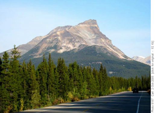
Bow Peak from the Icefields Parkway near Hector Lake We parked at the correct pulloff but got sucked into a seeming good trail down towards Bow Lake right from the pullout. This turned out to be a mistake and we had to contend with some swampy sections. In fact the best route takes off from the highway about 300 m south of the pullout. (It's easy to find on the way back.) As mentioned the crossing of Bow River was easy. One Rambler even did it without taking his boots off (wearing gaiters).
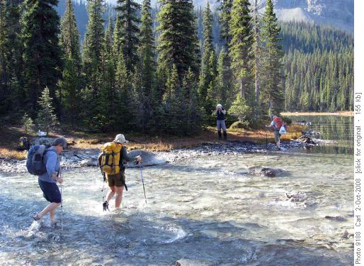
Crossing the very top of the Bow River
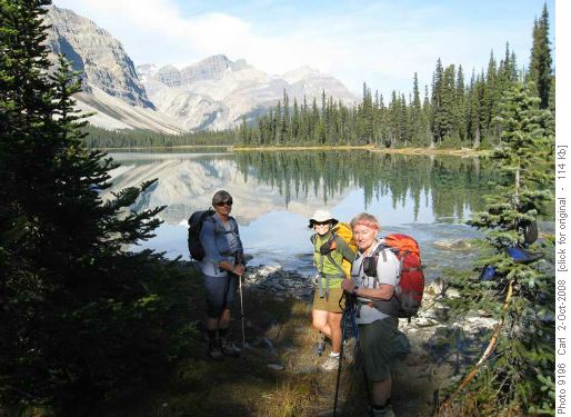
Lovely ladies on a lovely day at Bow Lake After a little more than an hour, we had climbed out of the trees.
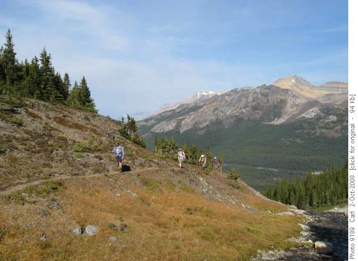
Ascent to Crowfoot Pass (Cirque Peak at right) From Crowfoot Pass, Bow Peak presents a huge slope of rubble and talus with very little loose scree and next to no solid rock. We all set off for the top using slightly different routes. The coordinator thought that angling off to the right of the highest visible point seemed best and two Ramblers followed in his direction. Unfortunately this led to a small outlier that seemed to have no good route to the summit.
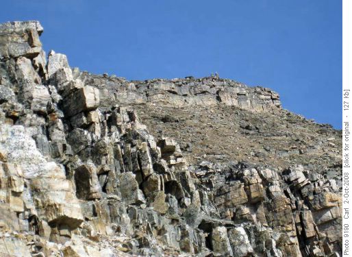
Main summit of Bow Peak from west outlier
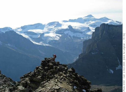
West outlier of Bow Peak (Mt Balfour in background) The coordinator did scramble up a chimney to the summit, but it was SC6 and the other two elected to remain where they were.
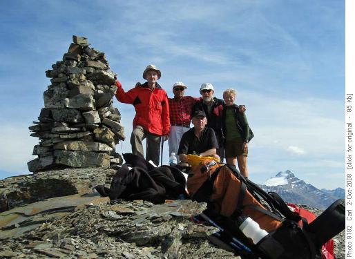
Group on summit of Bow Peak (Mt Hector at right)
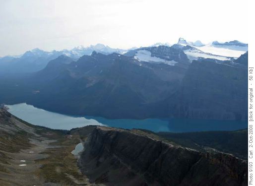
Hector Lake and peaks south (toothy one at right is Mt Daly)Arnold did find an easier route down to the outlier, but by the time he got there the two were ready to descend. The rest of us basically followed Peter's up route that used the ridge for several hundred meters north of the main summit block. This is probably the best route for both up and down. the two groups joined up above Crowfoot Pass and we returned down to Bow Lake.
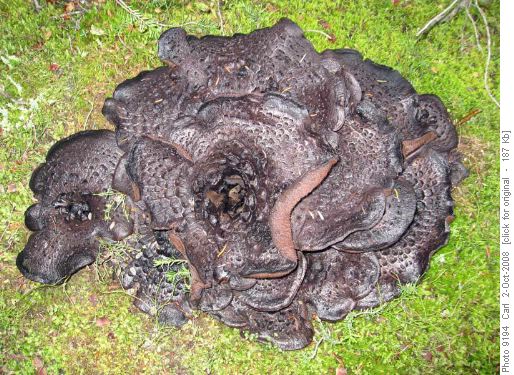
This seems to be the Year Of The Monster Mushrooms (over 2 ft across)
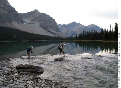
Fording Bow River on returnThanks to Alda, Maria, Nancy, Arnold, Ghulam and Peter for joining me, Carl (C/S). Thanks also to Ivan for adding this wonderful trip to the club's repertoire, I'm sure that it will be done many more times.
And the coordinator sincerely apologizes for leading Maria and Nancy "down the garden path" (except that it wasn't down and it certainly wasn't a garden path).
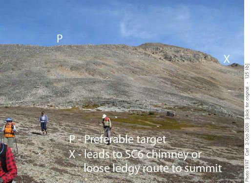
Bow Peak from a little above Crowfoot PassPS This photo hung in the coordinators office for at least a decade.
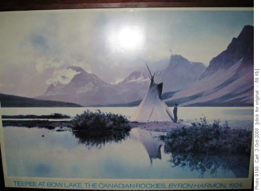
Byron Harmon photo of Bow Lake (Bow Peak at left)


