Sundance Range GR961615 Scramble on 15-Jul-2008
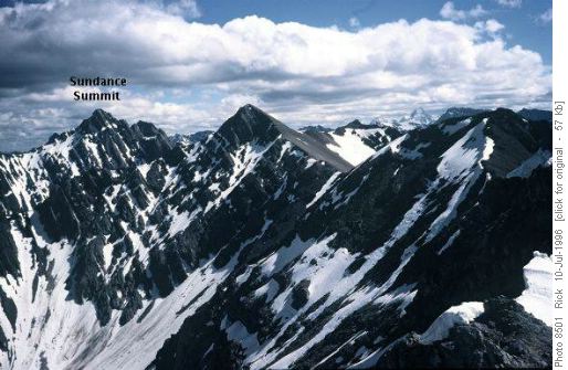
The highest peak on the range is technical in nature, but wanting to get into the range, I proposed a trip to a peak a kilometer and a half north of the high point. The objective is the peak in the center of this photo taken by Rick Collier from further north in the Sundance range.
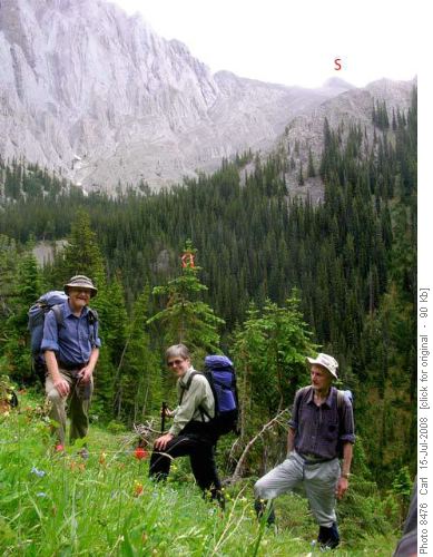
Three Ramblers joined me to make the attempt. Unfortunately, the day did not look promising. A thunderstorm had occurred in the early morning and the Banff forecast was for a significant probablity of rain and afternoon thunder storms. We set off with possibilities of alternate locations in mind.
By Canmore the sky above was cloudless. But by Banff a bank of dark weather was visible to the north. However, the idea of getting into the Sundance range was attractive enough that we gave up on the idea of alternatives and decided to go for our original objective.
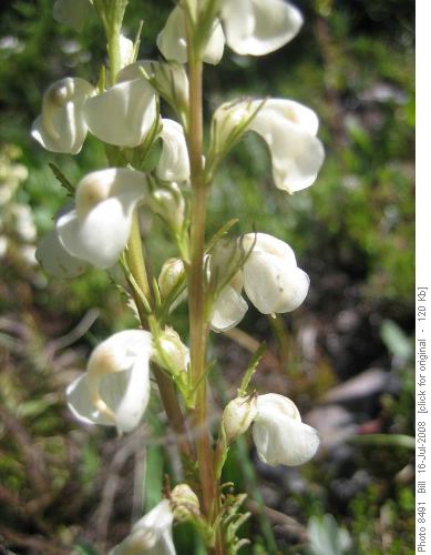
An hour and a half of hiking brought us to the creek flowing from our objective. We set off up the creek through fairly thick underbrush. To get to the peak it is necessary to get past a wall of vertical strata that persists along the entrance to the upper valley. It seemed probable that the stream would flow through a canyon and we would find impassible walls there. We therefore opted to climb up to the north of the stream to a weakness in the vertical cliffs. At the top, we had a short break then traversed into the upper valley on a faint animal trail. The trail took us across some pretty meadows with many flowers including on of my favorites, the contorted lousewort. (an ugly name for a pretty flower!).
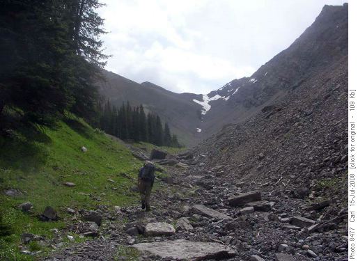
The trail allowed us to traverse until we could drop a hundred meters to the stream. We then splashed up the creek to the basin leading to the peak.
We heard thunder every few minutes, but the worst of the weather seemed to be north of us and centered in the Bow Valley proper. Steady work put us at the summit in another hour and a half.
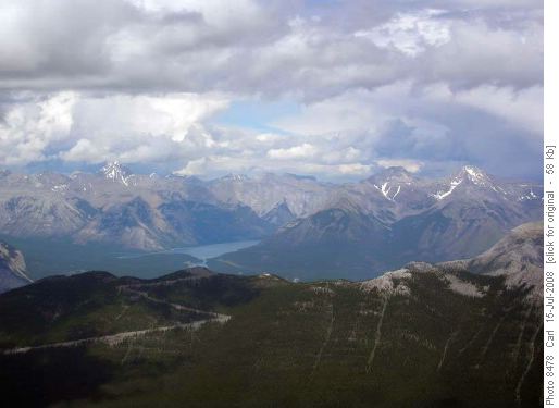
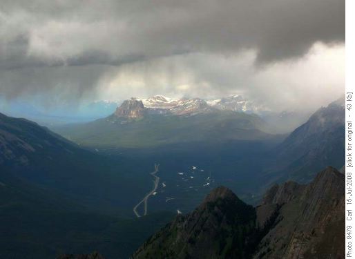
At the summit, the distant views were limited by the rain clouds all around us. The clouds were spotty, though, and over time views would open up in various directions.
Sometimes the views were spectacular with a peak being framed by clouds but lit by the sun.
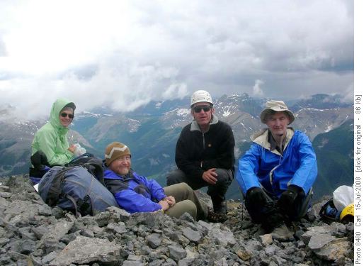
It was cold on top so Carl got a summit shot and we headed down.
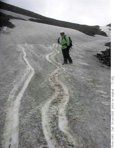
Mixed scree and snow took us back to treeline.
We re-traced our route in to the top of the vertical cliffs. Rather than drop back to the stream that had not offered any ease of travel, we trended north and descended through the bush. This proved to be good going. The rain had held off for the entire trip, but now we got some showers. Although they didn't last long, the wet vegetation got us wetter than the actual rain had. Soon we back at the Brewster Creek trail and an hour and a half of walking and we were back at the car.
Thanks to Carl (photographer), Rita and Peter - C/S Bill.
