Hell's Ridge 702791 loop Off-Trail Hike on 21-Jun-2008
Six Ramblers set out from the trailhead at the Etherington Creek Bridge at 10:10AM. It was a beautiful day. We climbed the steep slope a little North of the cars, starting at approx. 1,620m up to the Ridge’s summit at approx. 2,050m (430m ascent within 2km). From there we enjoyed a sweeping view of the front ranges to the West of Hells Ridge. After a relaxed tea-break we continued North on the Ridge. At first the ridge was still treed, but it soon opened up to a wide, grassy-green undulating ridge, with plenty of alpine flowers, bear diggings & scat. We enjoyed our lunch just after noon in the bright sunshine and made the obligatory group picture. After Lunch we proceeded further along the ridge-line and descended via the easily-ledged slabs to the forest floor. From there it was an easy hike back south on the Lower Etherington Creek Trail, which is an abandoned logging road crossed by many refreshing little creeks, running parallel to the Etherington Creek and its’ at times deep & steep gorge. We were back at the car at 4:45PM. This was a wonderful day out in the foothills, as demonstrated in the pictures below.
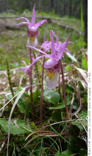
Venus Slipper (Calypso)
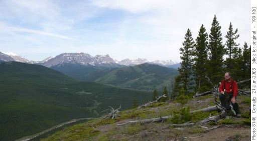
Ron taking in the view from Hells Ridge Summit: Mt Armstrong (2,804m)
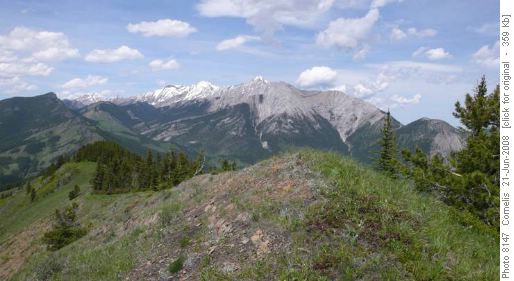
Hells Ridge with Mount Head and Holy Cross Mountain in the background
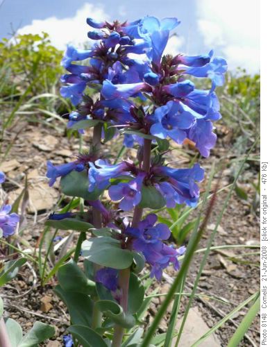
Blue Beardtongue
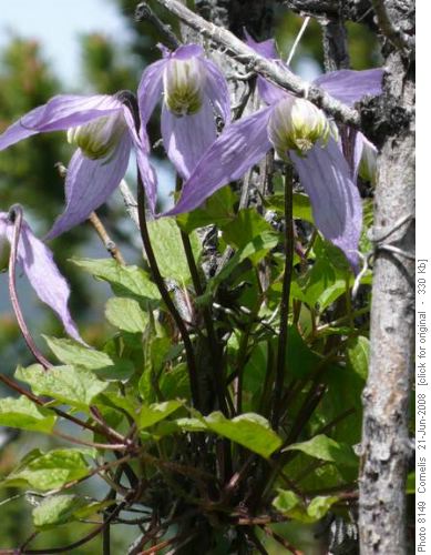
Blue Clematis
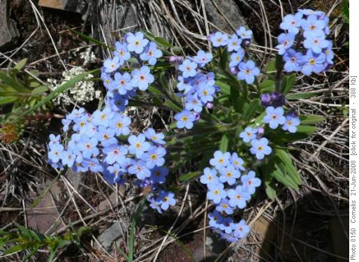
Forget-me-not flowers
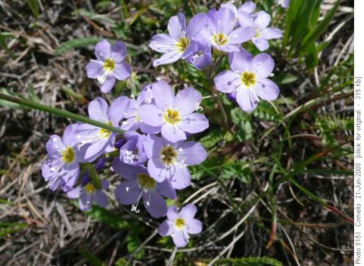
Jacob's Ladder
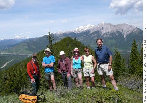
Ron, Francisco, Laszlo, Marietta, Kathy and Cornelis on Hells Ridge
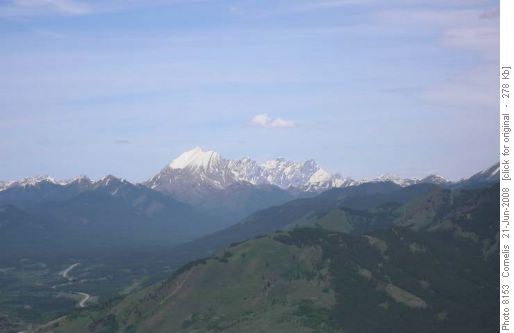
Mist Mountain (3,138m) seen North of Hells Ridge
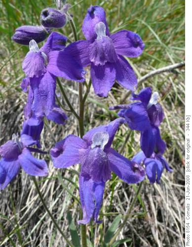
Low Larkspur
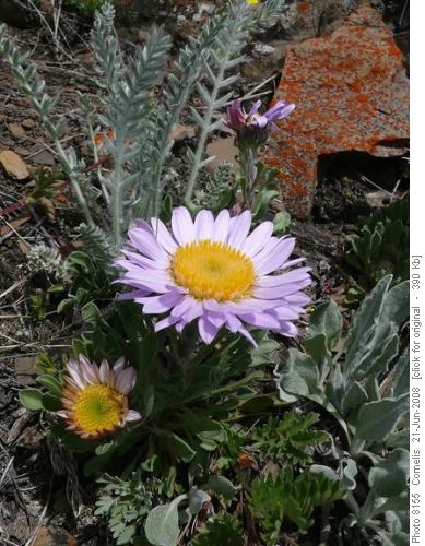
Parry's Townsendia
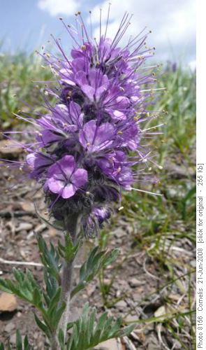
Silky Scorpionweed
Participants: Laszlo, Francisco, Marietta, Kathy, Ron, Cornelis (Coordinator, Photographer and Scribe). Thanks for coming on this hike!
Trip Statistics: We followed the trail scouted by Cornelis on 10th June 2007, ascending Hells Ridge directly NE of the cars, and continuing further North than indicated on the Gem Trek map. Distance: 13.7km, 430m effective elevation gain, 690m total elevation gain.

