Bonnet Glacier Traverse & Bonnet Peaks Mountaineering on 27-Jul-2007
The first day involved starting at Fish Creek PL and hiking up the road to Temple Lodge, thence to Boulder Pass, onto Baker Lake and over Cotton Grass Pass to the Red Deer Lakes. Most of this is over high open alpine terrain which is quite beautiful. We stopped at the Halfway Hut and Baker Creek Campground Jctn. for our two lunches and arrived about 4:00pm at the Red Deer Lakes Campground. Supper was quite pleasant except for a fair number of flying objects that we swatted at regularly.
We were off to bed early for the big day (climbing 3,300ft. to the glacier with full technical gear in pack) starting the following morning.
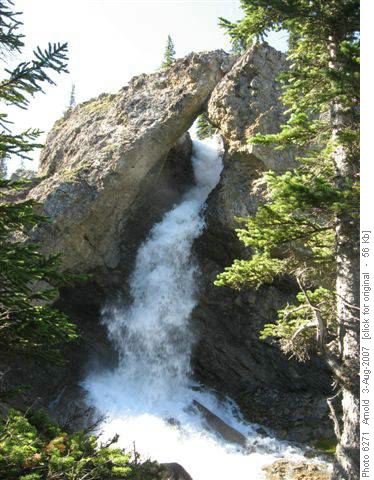
We were up early and off about 8:00 am to beat the heat of the day. The day involved crossing the Red Deer River twice (one rock hop and one knee high wade) then hiking up to the Natural Bridge (one knee high wade)
on trail. From here there is a trail to the meadow above and then an offtrail section to a high tarn called Hatchet Lake. The route then skirts around this lake to gain an easy ridge with patches of snow and following this
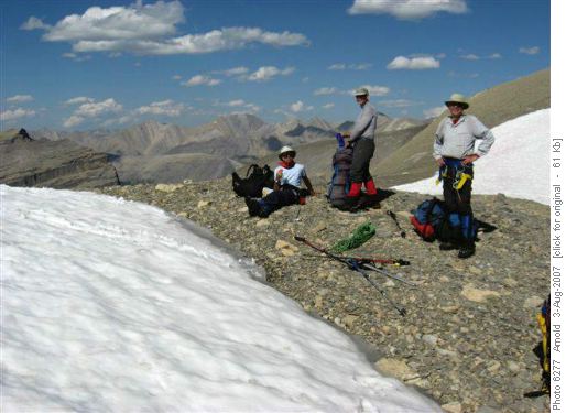
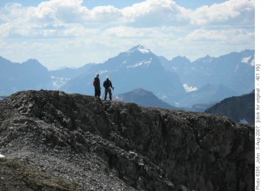
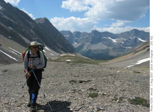
to a high col (9,600 ft) which overlooks the glacier. We stopped to take in the views and the route ahead of us at the high col
.
There is an icefield on the backside of this col and since it was snow covered and we were unsure of the crevassing, roping up was a good idea. It was later in the afternoon and the hot weather made the snow quite soupy and footing easy so crampons were not used.
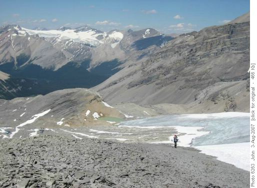
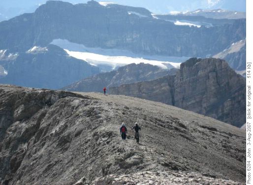
We descended for some distance and then climbed perhaps 200 vertical feet to a high pass between a high rock ridge and a rock upthrust
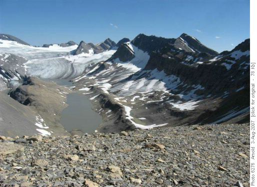
. Fom here we were able to survey the balance of the route onto the glacier
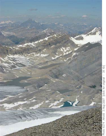
and the summits we planned to climb. An icefield that the map shows on the backside of this pass is essentially gone, but there were significant patches of snow which we could glissade to descend to a high rock bench above a lake to access the Bonnet Glacier. We unroped and proceeded down to this bench which then was traversed to a small stream.
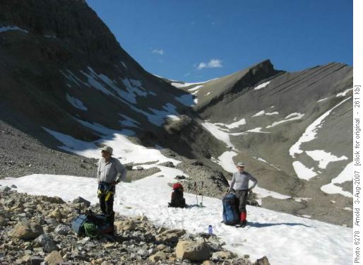
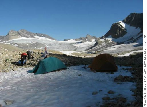
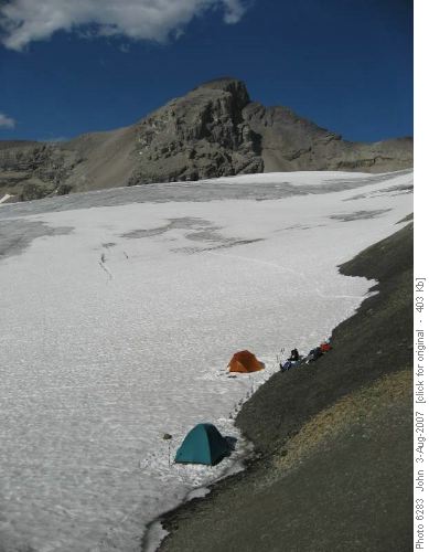
Since it was around 6:30pm and there was a flat patch of snow, an easy water source and most of us were fairly tired it was decided to camp here
. It was still about 1.5 hrs. from our original planned campsite, but it was felt that this would be done more easily in the morning when we would be fresh. The sun went down early due to the high ridge to the west of us and since the planned wake up time was 5:30 am for the following morning all were in their sleeping bags by 9:00pm. Being an all guy group, the boys did wait up a bit for the entertainment to show - maybe dancing girls but somehow the helicopter or they never showed although John did say the next morning that there was a $100.00 bill found on the ground.
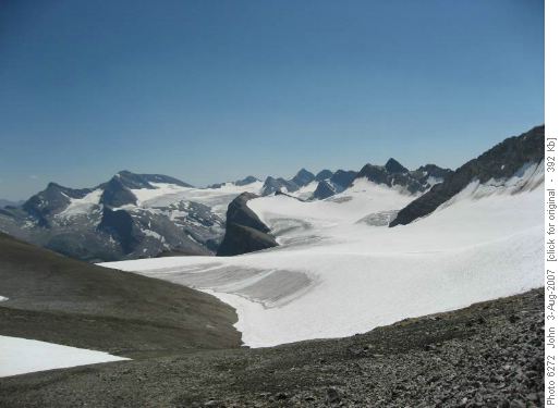
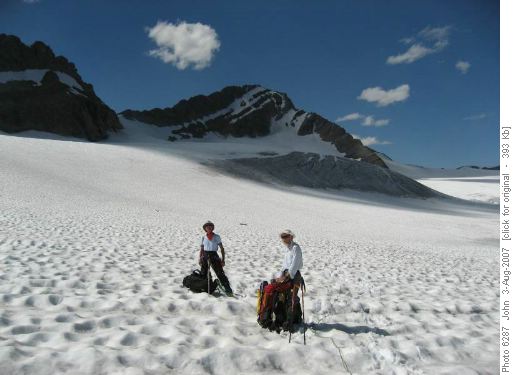
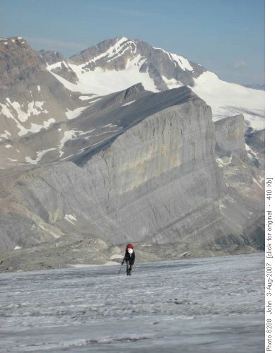
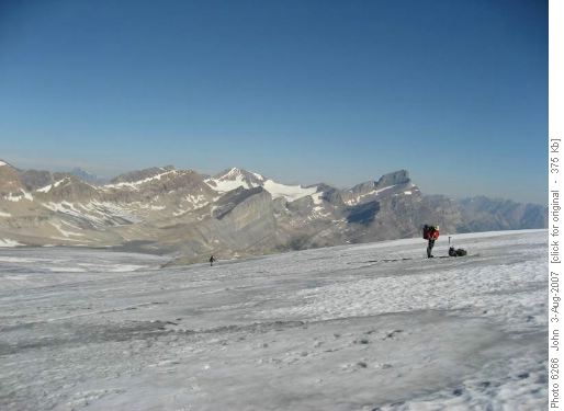
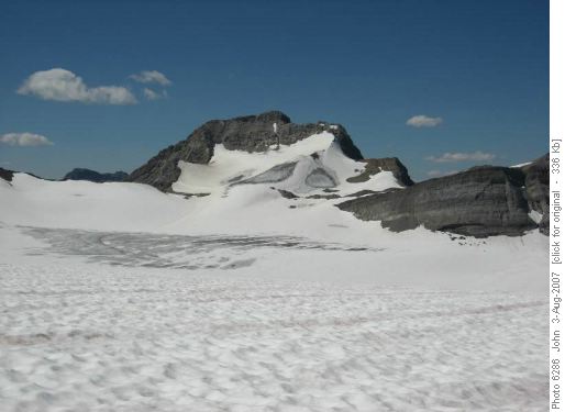
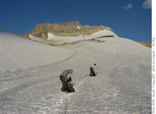
Summit day dawned clear and when the sun came above the mountains, bright. The balance of the bench was traversed onto the glacier. The glacier was free of snow and fairly flat initially. Once it steepened we put on our crampons and proceeded up
until snow covering was encountered.
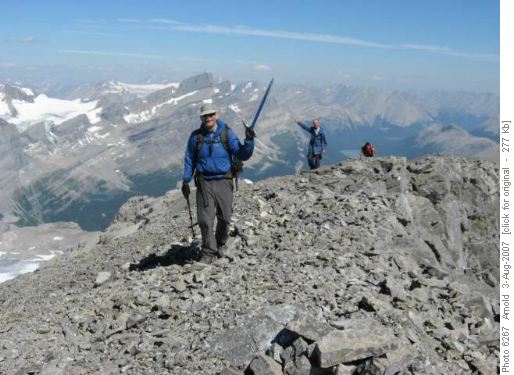
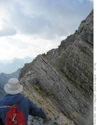
Since it was only another 1,000 feet distance to the base of our first objective the main Bonnet Peak and it was relatively flat and safe we proceeded unroped. The ascent route up to the summit is a sloping scree bench to the north ridge which is followed to the summit. The rock and scree was extremely loose so we stayed close to rock outcroppings or sloping slabs to get up to the ridge. From the ridge,
it was an easy walk to the summit.
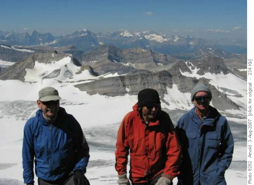
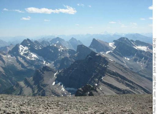
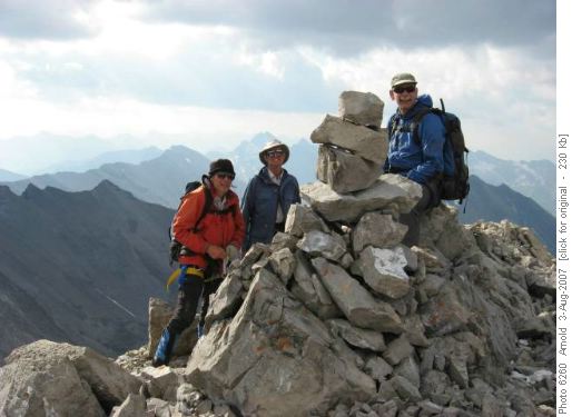
About an hour was spent taking in the views which were spectacular. Mt Assinniboine
was even visible in the smoke and the haze in the distance.
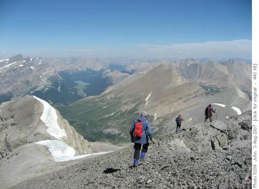
We descended with care
making sure not to knock rocks on each other. Back at the base, we proceeded over to the high col at the base of the south Bonnet Peak. Crampons and a rope were not used since the snow was soupy and when ice the surface was quite slushy. Visible crevasses were avoided by jumping at narrow parts or going around them. At the col we had a second lunch and rested. The route up to the south Bonnet Peak is a OT-5 scree walk and has a trail beaten in, for sections of it. It took us less than an hour to make this summit.
Here again we spent a fair bit of time taking in views before descending back to the col.
There was less smoke and haze while at this summit.
It was about 4:30pm and we had also hoped to do Mount Hickson this day.
All of us were too tired so a decision needed to be made. Dave pointed out that it was unlikely any of us would be in this area very soon, and it might make sense to camp an extra night on the glacier and we could possibly do this peak in the morning and alter the schedule to skip Tilted Mtn which is much more accessible. After studying revised trail distances for each of the remaining days and potential campsite location alterations the group agreed that this was a sensible change. We evaluated campsite locations and decided that the glacier right at the base of the col was the best as it was flat, water was close by on the glacier and cooking could be done on the col.
The following day would again be an early start as we would climb Mount Hickson and then hike down to Wildflower Creek Campground at the junction of Baker Creek. Once again the boys didn't stay up and we assumed the dancing girls didn't show even though the location was more easily accessed. I guess we will never know!
The rise time was 6:00am and we were roped, cramponed and ready to go for Hickson by 7:15am. After only 1,000ft distance from camp Bob proceeded to disappear into a crevasse up to the top of his shoulders, much to the surprise of everyone. A tight rope plus a small sloping bench supporting his feet stopped him from going further. After about 5 minutes, while the others prepared to pull him out, he was able to self rescue by bracing his back foot and right foot against the crevasse sides and push himself out of the hole. In hindsight, the crevasse was not obvious because it was close to a significant mud/dirt runoff from a slope. We figured water running off of the slope and through the mud plus the dark colour of the mud had caused water over time to create this hollow which remained covered by snow. After we had gotten ourselves out of rescue mode, we proceeded once again across the glacier
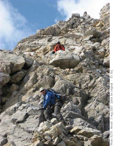
and up the snow slope to the base of the rock on Hickson. There looked to be two possible routes up gullies to the summit ridge, one closer to the south end of the mountain and one closer to the north end. The one to the north seemed more feasible, so that is the one the group chose. Once onto the rock we removed our crampons and the rope and proceeded up. The mountain seemed to be a rubble heap so care was once again necessary in proceeding up to the ridge. Once at the ridge,
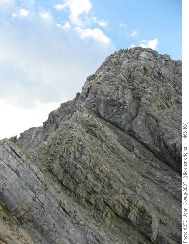
there appeared to be some airy sections and a couple of pinnacles which could pose problems. Dave went ahead to check these out and determined that we could in fact traverse to the base of the summit block,
where there was perhaps 75-100' of steep scrambling with some exposure. Once again Dave led the route to the summit with the rest of us following in close formation because of the loose rock and rubble. Getting the summit was sweet, especially when we examined the summit register and determined we were the first recorded ascenders in 14 years since the register had been placed by another club member Rick in 1993.
Rick had done it alone so it appears he must have done the route from the Johnston Creek side where there would have been no glacier(possibly by the first ascent route). Once again we took in the views but it was a little cooler so we remained for a shorter period of time.
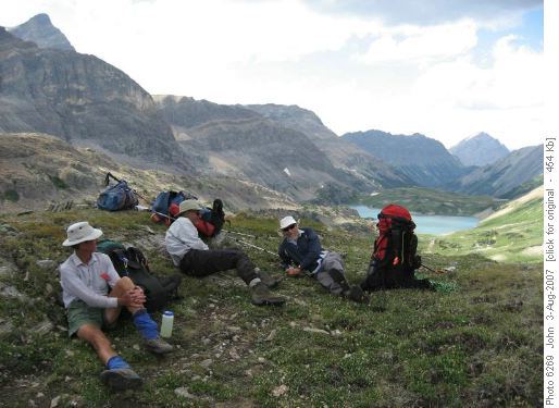
We proceeded back the way we came managing to avoid the hole Bob fell into. Once back at camp, tents were pulled down and backpacks packed for the trip down to Badger Pass and ultimately Wildflower Creek Campground. There is a beaten trail from the col by south Bonnet Peak into the drainage leading to Badger Pass and this was very helpful for this steep descent. Once in the drainage we hiked over to Badger Pass
which still had a snow cornice across 75% of it. This was easily surmounted and we continued down the trail to Pulsatilla Junction. This trail is quite pleasant with large open areas with larches and generally an easy dirt surface with few rocks. Just beyond Pulsatilla junction we stopped for a second lunch and to rest for the climb up to Pulsatilla Pass. Again the climb up to Pulsatilla Pass was quite beautiful especially as one gets closer to the top. This is truly a beautiful pass especially once the top is reached.
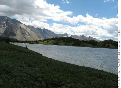
At the top, you look down on a large lake about 300 ft below which is surrounded by a very large high meadow and almost no trees. The trail down provided us with spectacular views of it and the surrounding mountains and some hanging valleys. Unfortunately, below this high valley one enters the trees with minimal views. The trail drops quite steeply and lower in the valley as one gets closer to the campsite the trail is somewhat overgrow with alder and is washed out in places where it is closer to the creek. In a few places we had to look to see where the trail went especially when it travelled across gravel flats that had been recently flooded. We reached the campsite about 6:30pm and set up camp. Again it was a relatively early night as we were all quite tired.
The next morning we rose at 7:00am and once again the sky was clear. We were on the trail by 8:30am. It is a steep climb up to the meadows of Baker Creek. At one point the trail crosses a fairly wide creek which requires careful rock hopping. On the other side the trail seemed to disappear and we spent about a half an hour following some false trails created by others before we found the main trail. It seems the hikers' trail crosses higher and then one must go down the creek about a distance of 500' to the horse crossing to pickup the main trail. Once on the trail again, we climbed up to the Baker meadows where we lunched and took in the views of Tilted, Lychnis and other mountains. A short while later the loop was completed by joining the trail at Baker Lake Campground.
From here it was a hike out by retracing our steps passing hordes of hikers down to Temple Lodge. I should note we had not seen anyone since leaving Red Deer Lakes Campground until this section. One highlight at the end of this trip was being allowed to ride at no charge on the Skoki bus down the road to Fish Creek PL. Thanks to Mike the bus driver who must have taken pity on us with our big packs.
On the way back we stopped at the Drake for beer and burgers which were greatly enjoyed after 5 days of trail food. Participants included David,John, Arnold and Bob coordinator and scribe. This trip was extremely enjoyable for all since it was a new area for most, the scenery was truly spectacular, there was lots of variety from scrambling to glacier travel to mountain summits, fabulous weather, it was fairly remote, with great company even though we did very little socializing in the evenings due to tiredness. Thanks guys for joining the trip and for making it so successful.
