Mt Whymper & ACME Volunteer Party Scramble on 17-Sep-2005
And our ascent of Mount Whymper on September 17, 2005 will stay in my memory as something more than a little special. First, the mountain. No one has ever mentioned Mount Whymper as one of those 'don't miss it - it's too much fun - you'll love the non-stop scrambling' kinds of mountains, but everyone on our trip definitely came away with that feeling. Maybe it was the weather - bluebird skies; a windfree summit; sunshine, glorious sunshine. Or maybe the company, five Ramblers with a passion for the mountains and the desire to celebrate their summits at the Alberta Centennial Mountain Expedition volunteer party.
No one in our party had ever ascended Mount Whymper before and Kane's route description doesn't really do it much justice.
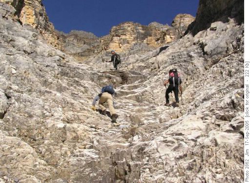
And all we could tell from a previous Ramblers trip report was that there could be loose rock obstacles. We just were not prepared for the non-stop, challenging scrambling options and opportunities that Whymper offers to the discerning scrambler.
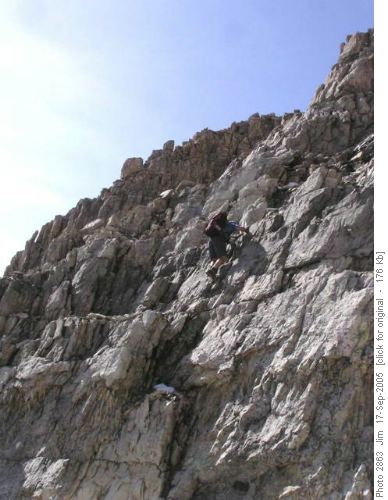
It is rated as an SC6 and it is all of that, but one doesn't have to look far to find a few SC7 options.
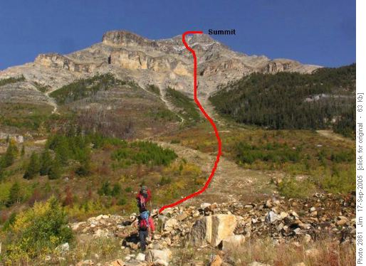
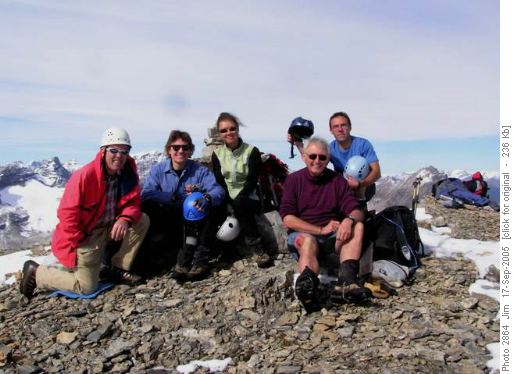
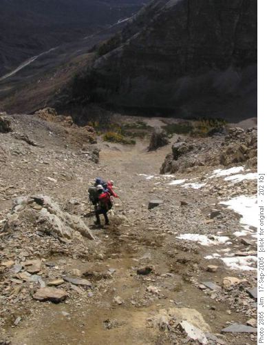
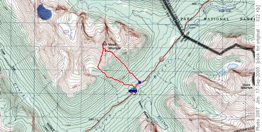
The cliff bands range form interesting to challenging; the rock from good and solid, to loose and crumbly; the route from obvious and well-marked to sketchy and ill-defined. The obvious route starts from Highway 93 and ascends an obvious gulley through numerous cliff bands. Towards the top, once the rubble starts to become tedious there is an obvious ramp to the summit ridge. But be careful you don't try to angle over to the summit ridge too soon, or you will find, as we did, that you can't get there from here. The proper ramp takes you onto the summit ridge at GR629750 (NAD83). From there it is a short ascent of about 200 meters up the ridge to the summit cairn. After a well earned lunch we enjoyed our summit celebrations under blue skies and a benevolent sun. Even the wind gods were taking a break. We signed the summit register and took panorama pictures of the surrounding mountains: Mt. Ball; Mt. Stanley; Vermilion Peak; The Rockwall; Castle Mountain; Storm Mountain. Just in time for our group summit photo an old Rambler Normand Begin, and a friend joined us on the summit. They were quickly recruited to take our picture.
We had met Normand and his buddy on the mountain earlier and they had opted for a different and evidently more difficult route.
Because our ascent route had been a little wet and snowy near the summit, we opted for a different route for our descent. We went south on the summit ridge until we found a convenient scree descent into a drainage to the southwest.
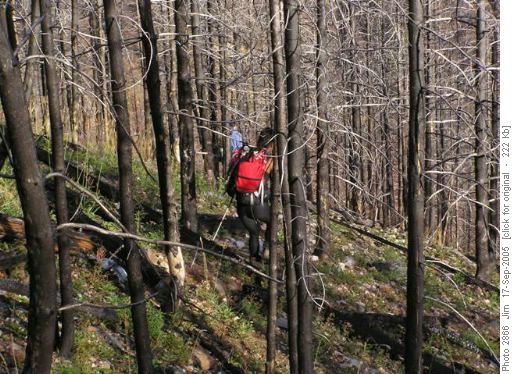
From there we bushwhacked a brutal route through a burnt out area and worked our way back to the trailhead.
We were back at the trailhead by 6:00 pm and two of us went to the hot springs in Banff to clean up before meeting the others for dinner and a pint at the Drake in Canmore. In Canmore we added another to our merry crew as Barbara had driven up from Calgary to join the rest of us for the ACME volunteer party. The party was fun; Alberta's birthday cake was chocolate and it was fun to see some of our Rambler photos flash by as part of the slide show.
Trip participants: Jerome; Peter; Susan; & Gary. Coordinator, photographer & scribe: Jim.
Trip statistics: Distance - 7.25 km; Total Time - 9h, 3m; Elevation gain - 1253 m; Maximum Elevation - 2852 m.
