Mt Shark Scramble on 23-Jul-2023
The trailhead parking lot was surprisingly full when we arrived close to 09:00 and we hoped not too many people would be on Mount Shark at the same time. Turns out there was no need for concern because shortly after starting out we didn’t see anybody else all day.
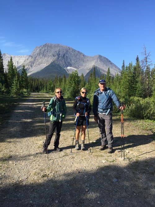
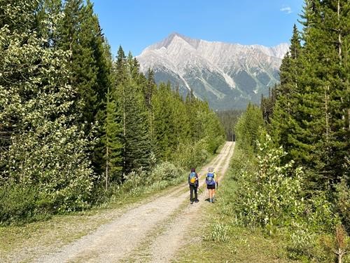
Mount Shark from near the trailhead
We gained no appreciable elevation for the first couple kilometers as we walked along the main trail. We left the old road for a barely discernable trail that took us more directly toward Mt. Shark. However, the trail eventually became overgrown the farther we went along and turned into outright nasty bushwhacking as we pushed upward. When we finally reached more open terrain we were greeted by ever steeper slab slopes.
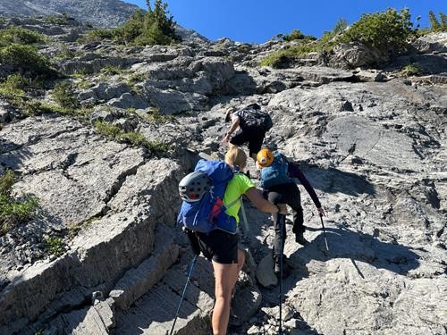
Steep Slabs (photo courtesy Simon)
We worked our way carefully to the ridge proper and took a short break, admiring the views on such a beautifully clear day.
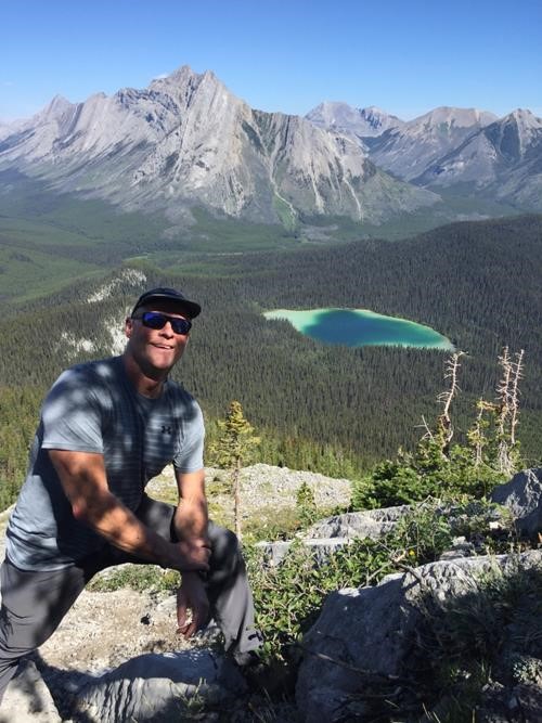
Simon happy to be on the ridge proper. Watridge Lake resembling a heart shape.
We decided to tackle the ridge head-on rather than taking detours to the right (west). This was a good decision as it gave us the best scrambling opportunities.
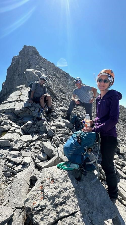
Enjoyable scrambling (photo courtesy Maryse)
We continued working our way upward along the ridge, enjoying the challenge. Though we were under direct sun, the SW breeze kept us sufficiently cool.
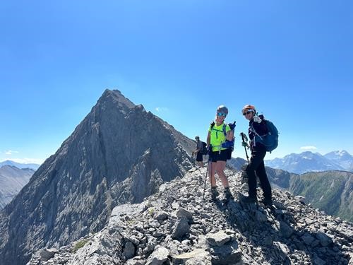
Approaching the col (photo courtesy Simon)
We made it to the col and thought we could see the summit, but this assumption was false.
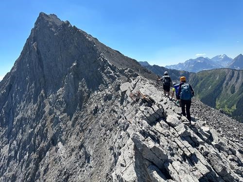
False summit in view (photo courtesy Simon)
From studying other trip reports we knew there was a significant downclimb that we had not yet reached, only the typical ups and downs.
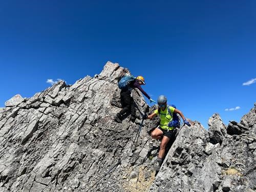
Downclimbing (photo courtesy Simon)
We eventually made it to the top and were greeted by magnificent clear views in all directions.
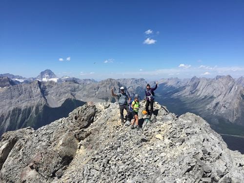
Simon, Maryse, and Tatyana on the summit with Mt. Assiniboine in the distance
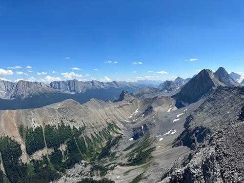
View east showing Tent Ridge, The Fist, and Mt. Smuts (photo courtesy Simon)
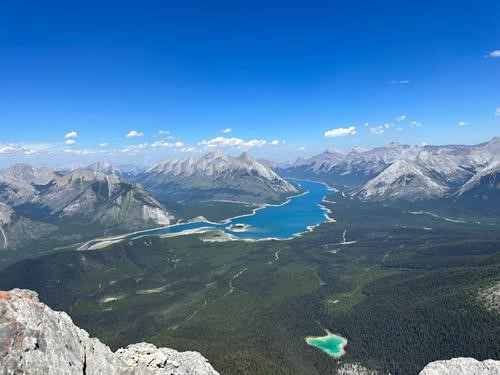
View north (photo courtesy Simon)
After our lunch break, we began our descent.
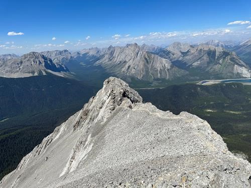
Approaching what was the biggest downclimb on the the way up (photo courtesy Simon)
We progressed steadily down the ridge to the very spot where we had started our ascent and had to decide whether to go back the known & nasty way, or try the more circuitous route that takes us to Watridge Lake. We decided to try the latter route, starting out on trail that soon petered out. A smoky haze was starting to come in from the west. We bushwhacked our way down the ridge, aiming for Karst Springs, which we found but were on the wrong side from where the trail was. So, we carefully crossed the creek on logs and refilled our water. It’s a beautiful mossy setting.
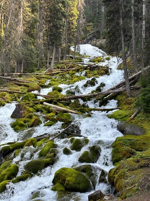
Karst Springs viewing platform in the distance (photo courtesy Simon)
We followed the regular trail down to Watridge lake and took the main road back, considering future peaks to tackle in the future.
Mount Engadine (photo courtesy Simon)
The 9 ½ hour, 15 km, 1029 m elevation trip was both more challenging and more rewarding than we had expected.
I thank such wonderful companions Simon, Tatyana, and Maryse who were more than up for the task.
Brian, Coordinator.
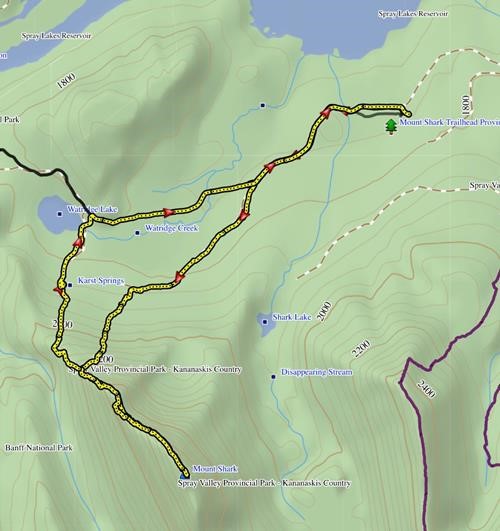
Our route
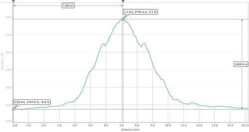
Trip stats