Porcupine Hills Ridge Off-Trail hike on 11-Jul-2023
We had a nice walk along a short section of the Porcupine Hills.
We met at the junction of Hwys 22 and 520 and transferred to my SUV because I wasn't sure of the road conditions. In fact, the main roads in the Porcupine Hills are fine in a regular car.
We drove a little over 3 km east on 520 and then a little over 3 km north on East Trout Creek Rd to get to the trail head identified in All Trails as "Porcupine Ridge Extension Hike".

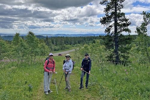
Heading out

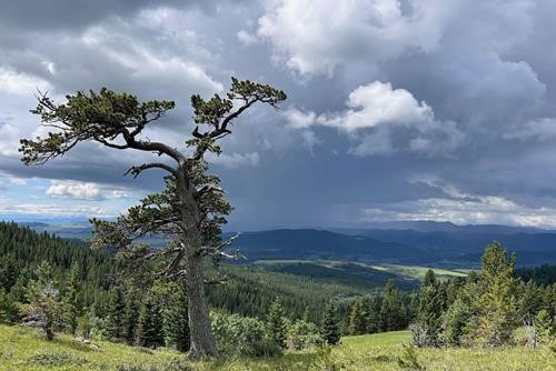
Looks like a storm over Yolande's trip on Thunder Mtn

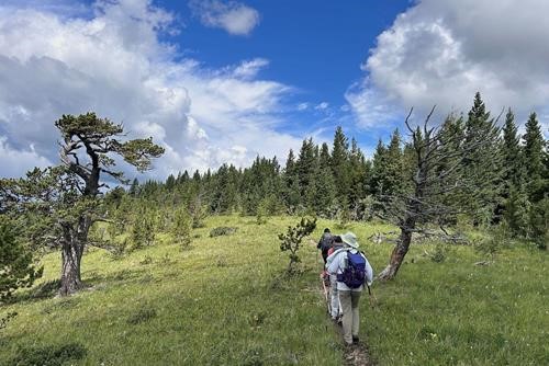
Typical going along Porcupine Hills ridge

Carl, Jo Anne, Stella and Kate on the Porcupine Hills
PS. After dropping the ladies off, I returned into the hills for a little "exploration". I drove south along Skyline Road towards the fire lookout. There were a number of spots that looked like one could go for a rewarding 30 minute side trip (on foot). I ended up walking up the road to the Porcupine Hills Fire Lookout and chatting with the warden, who gave me a tour of the summit area. I then continued my route south on the West Sharples Rd and exited that to get to Maycroft on hwy 22. Lots more info at AB Gov Porcupine Hills Info and Maps .C