McConnell Point/Engagement Mtn Off-Trail hike on 31-Jul-2022
In spite of the 30 c heat, we had a lovely day on this modest hike. The Quaite Valley and Prairie View as well as much of the Razor's Edge and return trails are well shaded. And even the more exposed sections are in and out of cover. And we had a bit of a breeze at the summit.
We set out around 9:15 along the Quaite Valley trail which was still nicely cool. Passed a large group at the campground and were passed by a jogger and a trio of cyclists (one of whom recognized me). At the confusing six way junction we found our way onto the Prairie View trail for a bit before turning onto Razor's Edge. Once up on the ridge we stopped for a short break and then were impressed with the trail that is built by and for mountain bikers. I would actually have to walk my bike on most of it.
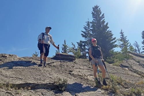
They cycle this Razor's Edge? Brian and Deb
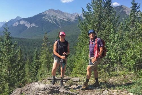
At the south "summit" of Engagement Mtn (Mary Barclay, "Twin Towers", Grant McEwan in bkg) - photo from Brian
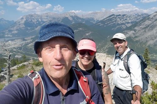
Carl, Deb, Brian at the summit of Engagement Mtn/McConnell Ridge (Grotto/Gap/Fable/Exshaw in bkg)
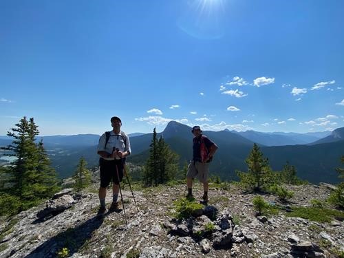
Brian and Carl on the summit
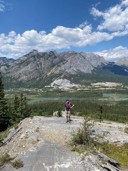
Deb
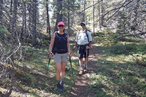
Most of the day was on shady trails (thankfully)
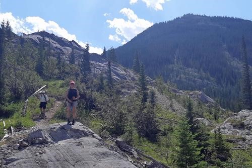
Descent off Razor's Edge, our summit at the right
We were done around 2:15, 14 km and about 700 m of total ascent.
Many thanks to Deb and Brian for joining me, Carl (C/S) .